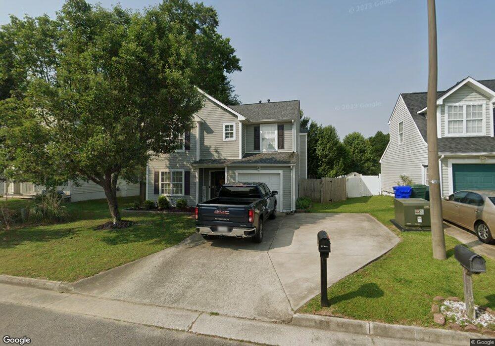
213 Archers Dr Suffolk, VA 23434
Chuckatuck NeighborhoodEstimated Value: $348,369 - $365,000
4
Beds
3
Baths
1,683
Sq Ft
$212/Sq Ft
Est. Value
About This Home
This home is located at 213 Archers Dr, Suffolk, VA 23434 and is currently estimated at $357,092, approximately $212 per square foot. 213 Archers Dr is a home located in Suffolk City with nearby schools including Oakland Elementary School, King's Fork Middle School, and King's Fork High School.
Ownership History
Date
Name
Owned For
Owner Type
Purchase Details
Closed on
Feb 12, 2021
Sold by
213 Archers Drive Llc
Bought by
Lowe Melinda Dawn and Burkhart Joseph Eugene
Current Estimated Value
Home Financials for this Owner
Home Financials are based on the most recent Mortgage that was taken out on this home.
Original Mortgage
$255,290
Outstanding Balance
$228,329
Interest Rate
2.7%
Mortgage Type
FHA
Estimated Equity
$128,763
Purchase Details
Closed on
Dec 1, 2020
Sold by
Haynes Brian G
Bought by
213 Archers Drive Llc
Create a Home Valuation Report for This Property
The Home Valuation Report is an in-depth analysis detailing your home's value as well as a comparison with similar homes in the area
Home Values in the Area
Average Home Value in this Area
Purchase History
| Date | Buyer | Sale Price | Title Company |
|---|---|---|---|
| Lowe Melinda Dawn | $268,500 | Attorney | |
| 213 Archers Drive Llc | $191,656 | Fidelity National Title |
Source: Public Records
Mortgage History
| Date | Status | Borrower | Loan Amount |
|---|---|---|---|
| Open | Lowe Melinda Dawn | $255,290 |
Source: Public Records
Tax History Compared to Growth
Tax History
| Year | Tax Paid | Tax Assessment Tax Assessment Total Assessment is a certain percentage of the fair market value that is determined by local assessors to be the total taxable value of land and additions on the property. | Land | Improvement |
|---|---|---|---|---|
| 2024 | $3,896 | $302,500 | $80,000 | $222,500 |
| 2023 | $3,630 | $286,800 | $80,000 | $206,800 |
| 2022 | $2,817 | $258,400 | $80,000 | $178,400 |
| 2021 | $2,433 | $219,200 | $52,300 | $166,900 |
| 2020 | $2,334 | $210,300 | $52,300 | $158,000 |
| 2019 | $2,218 | $199,800 | $52,300 | $147,500 |
| 2018 | $2,229 | $199,800 | $52,300 | $147,500 |
| 2017 | $2,138 | $199,800 | $52,300 | $147,500 |
| 2016 | $2,026 | $189,300 | $52,300 | $137,000 |
| 2015 | $1,093 | $184,100 | $52,300 | $131,800 |
| 2014 | $1,093 | $184,100 | $52,300 | $131,800 |
Source: Public Records
Map
Nearby Homes
- 312 Stonehenge Dr
- 5080 Kings Grant Cir
- 5061 Kings Grant Cir
- 132 Ashford Dr
- 285 Wexford Dr W
- 102 Chalmers Dr
- 253 Mccormick Dr
- 5014 Kings Grant Cir
- 269 Mccormick Dr
- 265 Mccormick Dr
- 201 Station Dr
- 286 Mccormick Dr
- 279 Mccormick Dr
- 2060 Queens Point Dr
- 1056 Boundary Dr
- 1007 Robinson Rd Unit 4C
- 307 Shore Dr
- 106 Elmington Way
- 1005 Robinson Rd Unit 3C
- 1011 Robinson Rd Unit 5C
- 211 Archers Dr
- 215 Archers Dr
- 115 Nottingham Blvd
- 209 Archers Dr
- 106 Lancelot Dr
- 217 Archers Dr
- 216 Archers Dr
- 214 Archers Dr
- 218 Archers Dr
- 117 Nottingham Blvd
- 108 Lancelot Dr
- 220 Archers Dr
- 119 Nottingham Blvd
- 217 Jouster Way
- 219 Jouster Way
- 110 Lancelot Dr
- 215 Jouster Way
- 105 Lancelot Dr
- 107 Lancelot Dr
- 210 Archers Dr