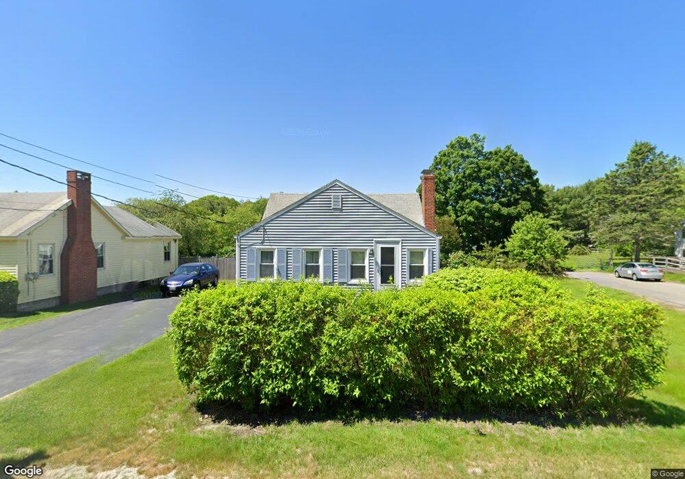
213 Black Point Rd Scarborough, ME 04074
Estimated Value: $415,000 - $466,000
2
Beds
1
Bath
864
Sq Ft
$496/Sq Ft
Est. Value
About This Home
This home is located at 213 Black Point Rd, Scarborough, ME 04074 and is currently estimated at $428,596, approximately $496 per square foot. 213 Black Point Rd is a home with nearby schools including Scarborough High School and Cornerstone Baptist Academy.
Ownership History
Date
Name
Owned For
Owner Type
Purchase Details
Closed on
Nov 6, 2023
Sold by
Morrison Jean F
Bought by
Pomerleau Cameron J
Current Estimated Value
Home Financials for this Owner
Home Financials are based on the most recent Mortgage that was taken out on this home.
Original Mortgage
$220,000
Outstanding Balance
$215,531
Interest Rate
7.19%
Mortgage Type
Purchase Money Mortgage
Estimated Equity
$213,065
Create a Home Valuation Report for This Property
The Home Valuation Report is an in-depth analysis detailing your home's value as well as a comparison with similar homes in the area
Home Values in the Area
Average Home Value in this Area
Purchase History
| Date | Buyer | Sale Price | Title Company |
|---|---|---|---|
| Pomerleau Cameron J | $280,000 | None Available |
Source: Public Records
Mortgage History
| Date | Status | Borrower | Loan Amount |
|---|---|---|---|
| Open | Pomerleau Cameron J | $220,000 |
Source: Public Records
Tax History Compared to Growth
Tax History
| Year | Tax Paid | Tax Assessment Tax Assessment Total Assessment is a certain percentage of the fair market value that is determined by local assessors to be the total taxable value of land and additions on the property. | Land | Improvement |
|---|---|---|---|---|
| 2025 | $4,096 | $361,500 | $167,700 | $193,800 |
| 2024 | $3,951 | $361,500 | $167,700 | $193,800 |
| 2023 | $4,055 | $253,900 | $109,600 | $144,300 |
| 2022 | $3,908 | $253,900 | $109,600 | $144,300 |
| 2021 | $3,438 | $253,900 | $109,600 | $144,300 |
| 2020 | $3,773 | $253,900 | $109,600 | $144,300 |
| 2019 | $5,161 | $253,900 | $109,600 | $144,300 |
| 2017 | $2,165 | $131,300 | $54,900 | $76,400 |
| 2016 | $2,090 | $131,300 | $54,900 | $76,400 |
| 2015 | $2,034 | $131,300 | $54,900 | $76,400 |
| 2014 | $1,832 | $131,300 | $54,900 | $76,400 |
| 2013 | -- | $131,300 | $54,900 | $76,400 |
Source: Public Records
Map
Nearby Homes
- 10 Highland Ave
- 9 Trestle Way
- Lot 5 Trestle Way
- 1 Coralburst Ln
- 9 Coralburst Ln
- 23 Plover Ln Unit 33
- 1 Sandpiper Cove Rd
- 4 High Point Rd
- 24 Bayberry Ln
- 1 Teal Point Dr Unit 1
- 1 Stratton Rd Unit 1
- 6 Atlantic Dr Unit 6
- 162 Fogg Rd
- 5 Traditional St
- 26 Inspiration Dr
- 7 Atlantic Dr Unit 7
- 21 Stratton Rd
- 12 Inspiration Dr
- 9 Evergreen Farms Rd
- 228 Deerwood St
- 209 Black Point Rd
- 214 Black Point Rd
- 219 Black Point Rd
- 216 Black Point Rd
- 218 Black Point Rd
- 208 Black Point Rd
- 207 Black Point Rd
- 6 Nonesuch Cove Rd
- 220 Black Point Rd
- 221 Black Point Rd
- 223 Black Point Rd
- 203 Black Point Rd
- 8 Nonesuch Cove Rd
- 222 Black Point Rd
- 4 Nonesuch Cove Rd
- 225 Black Point Rd
- 2 van Carll Cir
- 5 Nonesuch Cove Rd
- 227 Black Point Rd
- 2 Clay Pits Rd