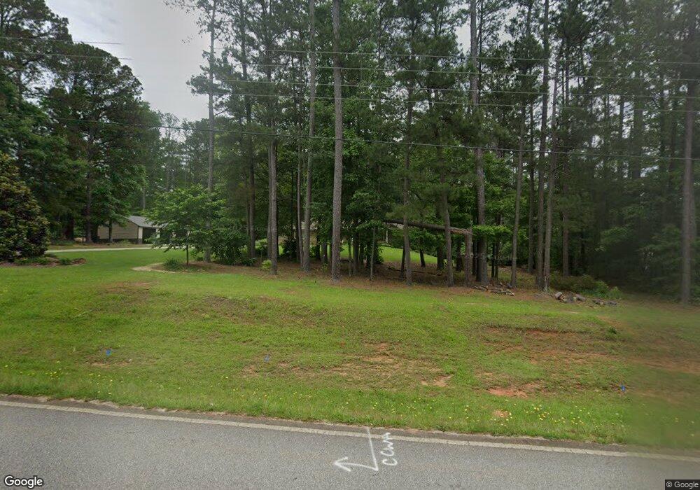
213 Bob Smith Rd Sharpsburg, GA 30277
Estimated Value: $419,000 - $685,182
4
Beds
4
Baths
3,968
Sq Ft
$127/Sq Ft
Est. Value
About This Home
This home is located at 213 Bob Smith Rd, Sharpsburg, GA 30277 and is currently estimated at $505,296, approximately $127 per square foot. 213 Bob Smith Rd is a home located in Coweta County with nearby schools including Willis Road Elementary School, Lee Middle School, and East Coweta High School.
Ownership History
Date
Name
Owned For
Owner Type
Purchase Details
Closed on
Sep 16, 2016
Sold by
Augustus Otis
Bought by
Brezina Benjamin Alex and Brezina Ann Marie
Current Estimated Value
Purchase Details
Closed on
Mar 5, 2009
Sold by
Hall Oneta S and Otis Augus
Bought by
Hall Oneta Smith Estate & Otis A Smith
Purchase Details
Closed on
Jul 17, 1995
Bought by
Hall Oneta S and Hall Otis
Purchase Details
Closed on
Jan 31, 1983
Bought by
Hall Oneta S
Create a Home Valuation Report for This Property
The Home Valuation Report is an in-depth analysis detailing your home's value as well as a comparison with similar homes in the area
Home Values in the Area
Average Home Value in this Area
Purchase History
| Date | Buyer | Sale Price | Title Company |
|---|---|---|---|
| Brezina Benjamin Alex | -- | -- | |
| Brezina Benjamin Alex | $196,500 | -- | |
| Hall Oneta Smith Estate & Otis A Smith | -- | -- | |
| Hall Oneta S | -- | -- | |
| Hall Oneta S | -- | -- |
Source: Public Records
Tax History Compared to Growth
Tax History
| Year | Tax Paid | Tax Assessment Tax Assessment Total Assessment is a certain percentage of the fair market value that is determined by local assessors to be the total taxable value of land and additions on the property. | Land | Improvement |
|---|---|---|---|---|
| 2025 | $4,669 | $205,560 | $63,228 | $142,332 |
| 2024 | $4,453 | $196,437 | $59,091 | $137,346 |
| 2023 | $4,453 | $174,340 | $54,714 | $119,626 |
| 2022 | $3,917 | $163,700 | $54,714 | $108,986 |
| 2021 | $3,689 | $144,802 | $52,108 | $92,694 |
| 2020 | $3,712 | $144,802 | $52,108 | $92,694 |
| 2019 | $2,471 | $89,214 | $30,876 | $58,338 |
| 2018 | $2,476 | $89,214 | $30,876 | $58,338 |
| 2017 | $2,164 | $84,364 | $30,876 | $53,488 |
| 2016 | $883 | $85,273 | $31,786 | $53,487 |
| 2015 | $842 | $85,273 | $31,786 | $53,487 |
| 2014 | $818 | $85,273 | $31,786 | $53,487 |
Source: Public Records
Map
Nearby Homes
- 250 Bob Smith Rd
- 196 Bob Smith Rd
- 8 Chiefs Trail
- 0 Bob Smith Rd Unit 10562838
- 180 Saint James Place
- 25 Lentry Dr
- 25 Chemin Place
- 140 Halo Trace
- 50 Kay Ct
- 28 Fawn Ct
- 296 Mcintosh Trail
- 40 Long Branch Trail
- 1 Mcintosh Trail
- 21 Lake Park Ct
- Briarwood Plan at Twelve Parks 55+
- Sullivan Plan at Twelve Parks 55+
- 4 Unicoi Trail
- 12 Unicoi Trail
- Crestwood Plan at Twelve Parks 55+
- 98 Keown Loop
- 193 Bob Smith Rd
- 0 Bob Smith Rd NE
- 51 Pinegate Rd
- 265 Bob Smith Rd
- 245 Bob Smith Rd
- 6980 Highway 54
- 7000 Highway 54
- 7024 Highway 54
- 287 Bob Smith Rd
- 7042 Highway 54
- 317 Bob Smith Rd
- 7042 Highway 54
- 94 Bob Smith Rd
- 6880 Highway 54
- 6880 Highway 54
- 321 Bob Smith Rd
- 7064 Highway 54
- 7142 Highway 54
- 7066 Highway 54
- 7142 Georgia 54