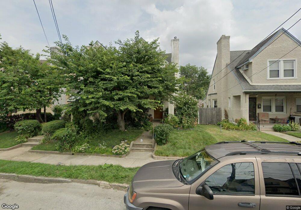
213 Chapman Ave Lansdowne, PA 19050
Estimated Value: $201,232 - $229,000
4
Beds
2
Baths
1,382
Sq Ft
$154/Sq Ft
Est. Value
About This Home
This home is located at 213 Chapman Ave, Lansdowne, PA 19050 and is currently estimated at $213,308, approximately $154 per square foot. 213 Chapman Ave is a home located in Delaware County with nearby schools including Charles Kelly El School, Upper Darby High School, and Vision Academy Charter School.
Ownership History
Date
Name
Owned For
Owner Type
Purchase Details
Closed on
Jun 25, 2011
Sold by
Condi Joseph J and Condi Rosemarie E
Bought by
Noble George P
Current Estimated Value
Home Financials for this Owner
Home Financials are based on the most recent Mortgage that was taken out on this home.
Original Mortgage
$97,500
Outstanding Balance
$69,500
Interest Rate
5.37%
Mortgage Type
Adjustable Rate Mortgage/ARM
Estimated Equity
$143,808
Create a Home Valuation Report for This Property
The Home Valuation Report is an in-depth analysis detailing your home's value as well as a comparison with similar homes in the area
Home Values in the Area
Average Home Value in this Area
Purchase History
| Date | Buyer | Sale Price | Title Company |
|---|---|---|---|
| Noble George P | $97,500 | None Available |
Source: Public Records
Mortgage History
| Date | Status | Borrower | Loan Amount |
|---|---|---|---|
| Open | Noble George P | $97,500 |
Source: Public Records
Tax History Compared to Growth
Tax History
| Year | Tax Paid | Tax Assessment Tax Assessment Total Assessment is a certain percentage of the fair market value that is determined by local assessors to be the total taxable value of land and additions on the property. | Land | Improvement |
|---|---|---|---|---|
| 2025 | $4,099 | $96,930 | $17,580 | $79,350 |
| 2024 | $4,099 | $96,930 | $17,580 | $79,350 |
| 2023 | $4,061 | $96,930 | $17,580 | $79,350 |
| 2022 | $3,951 | $96,930 | $17,580 | $79,350 |
| 2021 | $5,328 | $96,930 | $17,580 | $79,350 |
| 2020 | $4,541 | $70,200 | $21,980 | $48,220 |
| 2019 | $4,461 | $70,200 | $21,980 | $48,220 |
| 2018 | $4,410 | $70,200 | $0 | $0 |
| 2017 | $4,295 | $70,200 | $0 | $0 |
| 2016 | $385 | $70,200 | $0 | $0 |
| 2015 | $385 | $70,200 | $0 | $0 |
| 2014 | $385 | $70,200 | $0 | $0 |
Source: Public Records
Map
Nearby Homes
- 319 E Essex Ave
- 317 E Essex Ave
- 315 E Essex Ave
- 178 N Union Ave
- 239 N Maple Ave
- 209 E Greenwood Ave
- 226 E Greenwood Ave
- 164 Woodland Ave
- 230 Wynnewood Ave
- 243 Coverly Rd
- 291 N Wycombe Ave
- 7229 Clinton Rd
- 7247 Guilford Rd
- 7216 Clinton Rd
- 404 Croyden Rd
- 88 E Essex Ave
- 669 Long Ln
- 143 Springton Rd
- 726 Copley Rd
- 7181 Ruskin Ln
- 211 Chapman Ave
- 215 Chapman Ave
- 209 Chapman Ave
- 217 Chapman Ave
- 207 Chapman Ave
- 219 Chapman Ave
- 223 Chapman Ave
- 205 Chapman Ave
- 203 Chapman Ave
- 201 Chapman Ave
- 210 Chapman Ave
- 212 Chapman Ave
- 214 Chapman Ave
- 208 Chapman Ave
- 216 Chapman Ave
- 206 Chapman Ave
- 218 Chapman Ave
- 202 Chapman Ave
- 200 Chapman Ave
- 199 Chapman Ave