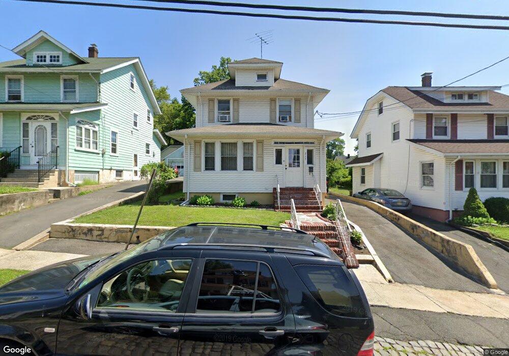
213 Clark St Hillside, NJ 07205
Estimated Value: $394,426 - $504,000
Studio
--
Bath
1,408
Sq Ft
$324/Sq Ft
Est. Value
About This Home
This home is located at 213 Clark St, Hillside, NJ 07205 and is currently estimated at $456,107, approximately $323 per square foot. 213 Clark St is a home located in Union County with nearby schools including Abram P. Morris-Saybrook Elementary School, Ola Edwards Community School, and Hurden Looker School.
Ownership History
Date
Name
Owned For
Owner Type
Purchase Details
Closed on
Nov 22, 2005
Sold by
Bailey Nolie M
Bought by
Nwankwo Solomon
Current Estimated Value
Home Financials for this Owner
Home Financials are based on the most recent Mortgage that was taken out on this home.
Original Mortgage
$218,400
Outstanding Balance
$122,066
Interest Rate
6.37%
Mortgage Type
Adjustable Rate Mortgage/ARM
Estimated Equity
$334,041
Create a Home Valuation Report for This Property
The Home Valuation Report is an in-depth analysis detailing your home's value as well as a comparison with similar homes in the area
Home Values in the Area
Average Home Value in this Area
Purchase History
| Date | Buyer | Sale Price | Title Company |
|---|---|---|---|
| Nwankwo Solomon | $273,000 | -- |
Source: Public Records
Mortgage History
| Date | Status | Borrower | Loan Amount |
|---|---|---|---|
| Open | Nwankwo Solomon | $218,400 |
Source: Public Records
Tax History
| Year | Tax Paid | Tax Assessment Tax Assessment Total Assessment is a certain percentage of the fair market value that is determined by local assessors to be the total taxable value of land and additions on the property. | Land | Improvement |
|---|---|---|---|---|
| 2025 | $7,865 | $95,300 | $47,300 | $48,000 |
| 2024 | $7,636 | $95,300 | $47,300 | $48,000 |
| 2023 | $7,636 | $95,300 | $47,300 | $48,000 |
| 2022 | $7,566 | $95,300 | $47,300 | $48,000 |
| 2021 | $7,516 | $95,300 | $47,300 | $48,000 |
| 2020 | $7,472 | $95,300 | $47,300 | $48,000 |
| 2019 | $7,328 | $95,300 | $47,300 | $48,000 |
| 2018 | $7,254 | $95,300 | $47,300 | $48,000 |
| 2017 | $7,210 | $95,300 | $47,300 | $48,000 |
| 2016 | $7,202 | $95,300 | $47,300 | $48,000 |
| 2015 | $7,138 | $95,300 | $47,300 | $48,000 |
| 2014 | $7,026 | $95,300 | $47,300 | $48,000 |
Source: Public Records
Map
Nearby Homes
- 1437 Parkview Terrace
- 1431 Compton Terrace
- 1504 Munn Ave
- 1406 Maple Ave
- 1414 Boa Place Unit 2
- 1570 Clinton Place Unit 72
- 277 Clark St
- 75 Hillside Ave
- 1442 Highland Ave
- 1470B Liberty Ave
- 1603 Bayview Ave
- 1444 N Broad St
- 236-238 Keer Ave
- 151 Keer Ave
- 252 Keer Ave
- 1426 Franklin St
- 327 Field Place
- 339 Hillside Ave
- 339 Hillside Ave Unit 2
- 61-63 Keer Ave
Your Personal Tour Guide
Ask me questions while you tour the home.