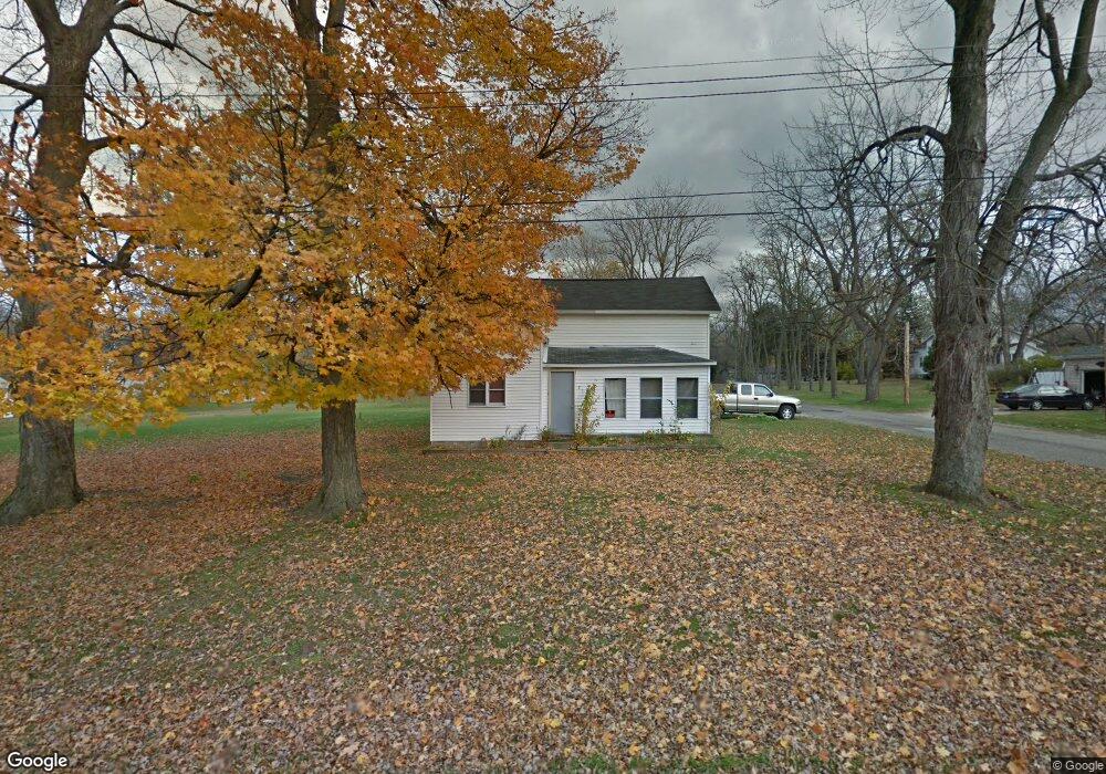
213 Clinton St Dowagiac, MI 49047
Estimated Value: $266,000 - $440,000
3
Beds
2
Baths
1,457
Sq Ft
$239/Sq Ft
Est. Value
About This Home
This home is located at 213 Clinton St, Dowagiac, MI 49047 and is currently estimated at $348,519, approximately $239 per square foot. 213 Clinton St is a home located in Cass County with nearby schools including Justus Gage Elementary School, Dowagiac Middle School, and Union High School.
Ownership History
Date
Name
Owned For
Owner Type
Purchase Details
Closed on
Sep 7, 2018
Sold by
Johnson Julie A
Bought by
Sparks Cassie Marie
Current Estimated Value
Purchase Details
Closed on
Jun 21, 2016
Sold by
Johnson Steven Joe
Bought by
Johnson Steven Joe and Johnson Julie A
Purchase Details
Closed on
Dec 31, 2003
Sold by
Sibbitt Thomas E and Sibbitt Madeline A
Bought by
Johnson Steven J
Home Financials for this Owner
Home Financials are based on the most recent Mortgage that was taken out on this home.
Original Mortgage
$84,000
Interest Rate
5.84%
Create a Home Valuation Report for This Property
The Home Valuation Report is an in-depth analysis detailing your home's value as well as a comparison with similar homes in the area
Home Values in the Area
Average Home Value in this Area
Purchase History
| Date | Buyer | Sale Price | Title Company |
|---|---|---|---|
| Sparks Cassie Marie | -- | None Available | |
| Johnson Steven Joe | -- | Attorney | |
| Johnson Steven J | $105,000 | Meridian Title Corp |
Source: Public Records
Mortgage History
| Date | Status | Borrower | Loan Amount |
|---|---|---|---|
| Previous Owner | Johnson Steven J | $84,000 |
Source: Public Records
Tax History Compared to Growth
Tax History
| Year | Tax Paid | Tax Assessment Tax Assessment Total Assessment is a certain percentage of the fair market value that is determined by local assessors to be the total taxable value of land and additions on the property. | Land | Improvement |
|---|---|---|---|---|
| 2025 | $2,571 | $185,800 | $185,800 | $0 |
| 2024 | $1,076 | $158,700 | $158,700 | $0 |
| 2023 | $1,026 | $137,100 | $0 | $0 |
| 2022 | $977 | $119,200 | $0 | $0 |
| 2021 | $2,253 | $105,600 | $0 | $0 |
| 2020 | $2,274 | $109,111 | $0 | $0 |
| 2019 | $2,209 | $109,900 | $0 | $0 |
| 2018 | $900 | $103,100 | $0 | $0 |
| 2017 | $881 | $102,400 | $0 | $0 |
| 2016 | $874 | $84,500 | $0 | $0 |
| 2015 | -- | $83,500 | $0 | $0 |
| 2011 | -- | $84,000 | $0 | $0 |
Source: Public Records
Map
Nearby Homes
- 204 E High St
- 530 S Front St
- 208 Halstead St
- 100 Dogwood Cir
- 106 Lagrange St
- 307 New York Ave
- 102 S Mill St
- 402 Michigan Ave
- 105 Lester Ave
- 107 Lester Ave
- 400 S Lowe St
- 423 E Division St
- 425 Chestnut St
- 309 N Front St
- 409 Spruce St
- 210 McOmber St
- 307 E Telegraph St
- 107 Sherwood St
- 403 Orchard St
- 310 W Telegraph St
- 213 Clinton St
- 209 Clinton St
- 212 Lincoln St
- 31433 South St
- 207 Clinton St
- 301 Clinton St
- 301 Clinton St
- 208 Lincoln St
- 212 Clinton St
- 210 Clinton St
- 309 Clinton St
- 50076 South St
- 206 Clinton St
- 50092 South St
- 205 Clinton St
- 205 Clinton St
- 304 Lincoln St
- 402 S Williams St
- 301 Cass Ave
- 214 Willard St