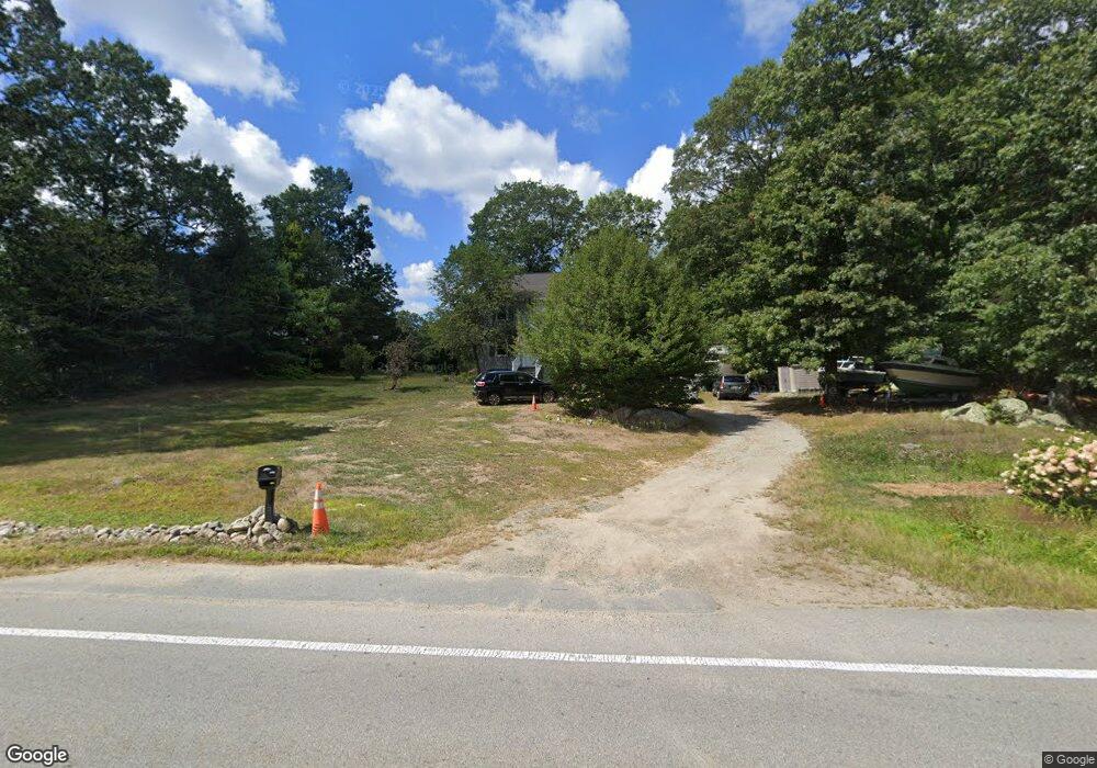
213 County Rd East Freetown, MA 02717
Estimated Value: $561,000 - $653,000
3
Beds
3
Baths
1,440
Sq Ft
$412/Sq Ft
Est. Value
About This Home
This home is located at 213 County Rd, East Freetown, MA 02717 and is currently estimated at $593,632, approximately $412 per square foot. 213 County Rd is a home located in Bristol County with nearby schools including Freetown Elementary School, George R Austin Intermediate School, and Freetown-Lakeville Middle School.
Ownership History
Date
Name
Owned For
Owner Type
Purchase Details
Closed on
Mar 13, 2000
Sold by
Erickson Robert P and Yergeau Nicole L
Bought by
Teixeira Anthony G and Teixeira Nadine M
Current Estimated Value
Purchase Details
Closed on
Jan 8, 1993
Sold by
Mcgrath Thomas
Bought by
Coop Bk Concord
Create a Home Valuation Report for This Property
The Home Valuation Report is an in-depth analysis detailing your home's value as well as a comparison with similar homes in the area
Home Values in the Area
Average Home Value in this Area
Purchase History
| Date | Buyer | Sale Price | Title Company |
|---|---|---|---|
| Teixeira Anthony G | $175,000 | -- | |
| Coop Bk Concord | $29,000 | -- |
Source: Public Records
Mortgage History
| Date | Status | Borrower | Loan Amount |
|---|---|---|---|
| Open | Coop Bk Concord | $109,000 | |
| Closed | Coop Bk Concord | $120,000 | |
| Closed | Coop Bk Concord | $8,603 |
Source: Public Records
Tax History Compared to Growth
Tax History
| Year | Tax Paid | Tax Assessment Tax Assessment Total Assessment is a certain percentage of the fair market value that is determined by local assessors to be the total taxable value of land and additions on the property. | Land | Improvement |
|---|---|---|---|---|
| 2025 | $4,741 | $478,400 | $184,000 | $294,400 |
| 2024 | $4,712 | $451,800 | $173,600 | $278,200 |
| 2023 | $4,600 | $429,500 | $156,300 | $273,200 |
| 2022 | $4,402 | $365,000 | $132,400 | $232,600 |
| 2021 | $4,736 | $333,800 | $120,400 | $213,400 |
| 2020 | $4,126 | $316,900 | $109,900 | $207,000 |
| 2019 | $4,411 | $297,500 | $104,600 | $192,900 |
| 2018 | $4,379 | $279,000 | $104,600 | $174,400 |
| 2017 | $3,643 | $273,500 | $104,600 | $168,900 |
| 2016 | $3,621 | $276,600 | $112,500 | $164,100 |
| 2015 | $3,532 | $273,800 | $112,500 | $161,300 |
| 2014 | $3,411 | $270,500 | $110,200 | $160,300 |
Source: Public Records
Map
Nearby Homes
- 211 County Rd
- 142 County Rd
- 215 County Rd
- 212 County Rd
- 207 County Rd
- 214 County Rd
- 214A County Rd
- 208 County Rd
- 217 County Rd
- 51 Point of Pines Rd
- 219
- 219 County Road (Waterfront)
- 205 County Rd
- 49 Point of Pines Rd
- 218 County Rd
- 220 County Rd
- 47 Point of Pines Rd
- 45 Point of Pines Rd
- 27 Point of Pines Rd
- 222 County Rd