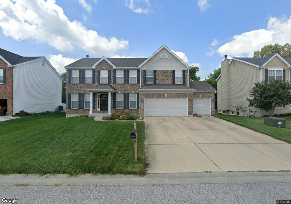
213 Crystal Ln Fairview Heights, IL 62208
Estimated Value: $278,000 - $386,000
--
Bed
--
Bath
1,632
Sq Ft
$208/Sq Ft
Est. Value
About This Home
This home is located at 213 Crystal Ln, Fairview Heights, IL 62208 and is currently estimated at $339,306, approximately $207 per square foot. 213 Crystal Ln is a home located in St. Clair County with nearby schools including William Holliday Elementary School, Pontiac William Holliday Jr High School, and O'Fallon Township High School.
Ownership History
Date
Name
Owned For
Owner Type
Purchase Details
Closed on
Nov 30, 2004
Sold by
The Jones Co Homes Llc
Bought by
Bright Wilma
Current Estimated Value
Home Financials for this Owner
Home Financials are based on the most recent Mortgage that was taken out on this home.
Original Mortgage
$165,000
Outstanding Balance
$83,127
Interest Rate
5.82%
Mortgage Type
Purchase Money Mortgage
Estimated Equity
$256,179
Purchase Details
Closed on
Aug 26, 2004
Sold by
West Pointe Bank & Trust Co
Bought by
The Jones Co Homes Llc
Create a Home Valuation Report for This Property
The Home Valuation Report is an in-depth analysis detailing your home's value as well as a comparison with similar homes in the area
Home Values in the Area
Average Home Value in this Area
Purchase History
| Date | Buyer | Sale Price | Title Company |
|---|---|---|---|
| Bright Wilma | $213,500 | Benchmark Title Company | |
| The Jones Co Homes Llc | $70,500 | Town & Country Title Co |
Source: Public Records
Mortgage History
| Date | Status | Borrower | Loan Amount |
|---|---|---|---|
| Open | Bright Wilma | $165,000 |
Source: Public Records
Tax History Compared to Growth
Tax History
| Year | Tax Paid | Tax Assessment Tax Assessment Total Assessment is a certain percentage of the fair market value that is determined by local assessors to be the total taxable value of land and additions on the property. | Land | Improvement |
|---|---|---|---|---|
| 2024 | $6,347 | $104,310 | $14,368 | $89,942 |
| 2023 | $5,836 | $92,294 | $12,713 | $79,581 |
| 2022 | $5,013 | $78,682 | $12,459 | $66,223 |
| 2021 | $4,864 | $74,679 | $11,825 | $62,854 |
| 2020 | $4,793 | $70,741 | $11,202 | $59,539 |
| 2019 | $4,616 | $70,741 | $11,202 | $59,539 |
| 2018 | $4,610 | $69,124 | $11,976 | $57,148 |
| 2017 | $4,443 | $66,321 | $11,491 | $54,830 |
| 2016 | $4,408 | $64,824 | $11,232 | $53,592 |
| 2014 | $3,511 | $59,316 | $11,054 | $48,262 |
| 2013 | $4,008 | $65,650 | $11,258 | $54,392 |
Source: Public Records
Map
Nearby Homes
- 34 Aubuchon Cir
- 919 Holliday Dr
- 924 Holliday Dr
- 216 Joseph Dr
- 836 Lincoln Hwy
- 900 Lincoln Hwy
- 103 Joseph Dr
- 13 Joseph Dr
- 41 Crossroad Dr
- 405 Joseph Dr Unit G
- 18 Del Ray Dr
- 8 Hermitage Dr
- 21 Faith Dr
- 6509 Old Collinsville Rd
- 114 Ashland Ave
- 18 Elvira Dr
- 1706 W Washington St
- 105 Chateau Dr
- 923 Millikin Dr
- 128 Alice Dr