Estimated Value: $285,000 - $313,000
4
Beds
3
Baths
2,210
Sq Ft
$133/Sq Ft
Est. Value
About This Home
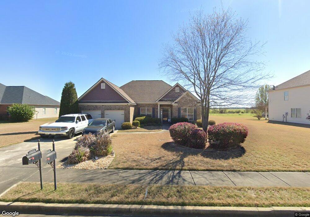
This home is located at 213 Cumberland Dr, Byron, GA 31008 and is currently estimated at $294,260, approximately $133 per square foot. 213 Cumberland Dr is a home located in Peach County with nearby schools including Byron Elementary School, Byron Middle School, and Peach County High School.
Ownership History
Date
Name
Owned For
Owner Type
Purchase Details
Closed on
Apr 21, 2009
Sold by
D R Horton Inc
Bought by
Baldwin Sherrod L
Current Estimated Value
Home Financials for this Owner
Home Financials are based on the most recent Mortgage that was taken out on this home.
Original Mortgage
$174,031
Outstanding Balance
$107,627
Interest Rate
4.86%
Mortgage Type
VA
Estimated Equity
$186,633
Purchase Details
Closed on
Sep 11, 2008
Sold by
Cumberland Shores Llc
Bought by
D R Horton Inc
Purchase Details
Closed on
Feb 22, 2005
Sold by
Vinson Jr Edgar Keith and Vinson Jr Robert Grayden
Bought by
Cumberland Shores Llc
Purchase Details
Closed on
Jan 3, 2003
Sold by
Vinson Edgar Keith and Robert Grayden
Bought by
Cumberland Shores Llc
Create a Home Valuation Report for This Property
The Home Valuation Report is an in-depth analysis detailing your home's value as well as a comparison with similar homes in the area
Home Values in the Area
Average Home Value in this Area
Purchase History
| Date | Buyer | Sale Price | Title Company |
|---|---|---|---|
| Baldwin Sherrod L | $170,369 | -- | |
| D R Horton Inc | -- | -- | |
| Cumberland Shores Llc | -- | -- | |
| Cumberland Shores Llc | -- | -- |
Source: Public Records
Mortgage History
| Date | Status | Borrower | Loan Amount |
|---|---|---|---|
| Open | Baldwin Sherrod L | $174,031 |
Source: Public Records
Tax History
| Year | Tax Paid | Tax Assessment Tax Assessment Total Assessment is a certain percentage of the fair market value that is determined by local assessors to be the total taxable value of land and additions on the property. | Land | Improvement |
|---|---|---|---|---|
| 2025 | -- | $112,040 | $13,960 | $98,080 |
| 2024 | -- | $101,120 | $13,720 | $87,400 |
| 2023 | $0 | $97,760 | $11,000 | $86,760 |
| 2022 | $2,290 | $87,080 | $11,000 | $76,080 |
| 2021 | $2,247 | $73,960 | $8,800 | $65,160 |
| 2020 | $1,986 | $65,600 | $8,800 | $56,800 |
| 2019 | $1,995 | $65,600 | $8,800 | $56,800 |
| 2018 | $1,897 | $62,160 | $8,800 | $53,360 |
| 2017 | $1,906 | $62,160 | $8,800 | $53,360 |
| 2016 | $1,898 | $62,160 | $8,800 | $53,360 |
| 2015 | $1,901 | $62,160 | $8,800 | $53,360 |
| 2014 | $1,989 | $64,840 | $8,800 | $56,040 |
| 2013 | -- | $64,840 | $8,800 | $56,040 |
Source: Public Records
Map
Nearby Homes
- 106 Christopher Dr
- 206 Christopher Dr
- 246 Shantz Way Unit (LOT A40)
- 246 Shantz Way
- 248 Shantz Way Unit (LOT A41)
- 250 Shantz Way
- 250 Shantz Way Unit LOT A42
- 252 Shantz Way Unit (LOT A43)
- 252 Shantz Way
- 262 Shantz Way Unit (LOT A48)
- 256 Shantz Way Unit (LOT A45)
- The McGinnis Plan at Bryson Farms
- The Lawson Plan at Bryson Farms
- The Coleman Plan at Bryson Farms
- The Piedmont Plan at Bryson Farms
- The Harrington Plan at Bryson Farms
- The Benson II Plan at Bryson Farms
- The Bradley Plan at Bryson Farms
- 0 Peavy Rd
- 0 W White West Rd
- 213 Cumberland Dr (12)
- 211 Cumberland Dr
- 215 Cumberland Drive (13)
- 215 Cumberland Dr
- 209 Cumberland Dr
- 217 Cumberland Dr
- 214 Cumberland Dr
- 212 Cumberland Dr
- 210 Cumberland Drive (19)
- 216 Cumberland Dr
- 210 Cumberland Dr
- 219 Cumberland Dr
- 209 Cumberland Dr (10)
- 218 Cumberland Dr
- 218 Cumberland Drive(2015)
- 208 Cumberland Dr(20)
- 208 Cumberland Dr
- 117 Christopher Dr
- 115 Christopher Dr
- 119 Christopher Dr
Your Personal Tour Guide
Ask me questions while you tour the home.