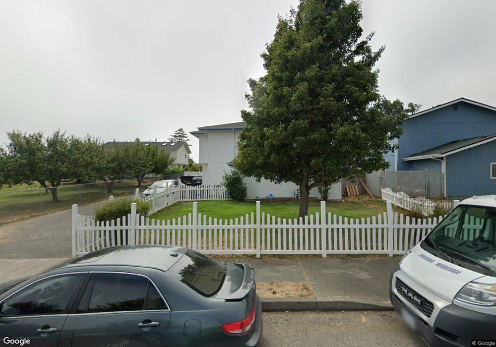
213 Cypress St Brookings, OR 97415
Estimated Value: $567,000 - $667,021
6
Beds
7
Baths
2,636
Sq Ft
$234/Sq Ft
Est. Value
About This Home
This home is located at 213 Cypress St, Brookings, OR 97415 and is currently estimated at $617,011, approximately $234 per square foot. 213 Cypress St is a home located in Curry County with nearby schools including Kalmiopsis Elementary School, Azalea Middle School, and Brookings-Harbor High School.
Ownership History
Date
Name
Owned For
Owner Type
Purchase Details
Closed on
Mar 23, 2022
Sold by
Bryan Kenneth A
Bought by
Vollmer Family Trust
Current Estimated Value
Purchase Details
Closed on
Nov 10, 2008
Sold by
Titus Properties Cypress Llc
Bought by
Bryan Kenneth A and Bryan Connie J
Home Financials for this Owner
Home Financials are based on the most recent Mortgage that was taken out on this home.
Original Mortgage
$251,750
Interest Rate
7%
Mortgage Type
Adjustable Rate Mortgage/ARM
Create a Home Valuation Report for This Property
The Home Valuation Report is an in-depth analysis detailing your home's value as well as a comparison with similar homes in the area
Home Values in the Area
Average Home Value in this Area
Purchase History
| Date | Buyer | Sale Price | Title Company |
|---|---|---|---|
| Vollmer Family Trust | $535,000 | Curry County Title | |
| Bryan Kenneth A | $265,000 | First American Title Co |
Source: Public Records
Mortgage History
| Date | Status | Borrower | Loan Amount |
|---|---|---|---|
| Previous Owner | Bryan Kenneth A | $251,750 |
Source: Public Records
Tax History Compared to Growth
Tax History
| Year | Tax Paid | Tax Assessment Tax Assessment Total Assessment is a certain percentage of the fair market value that is determined by local assessors to be the total taxable value of land and additions on the property. | Land | Improvement |
|---|---|---|---|---|
| 2024 | $3,472 | $367,240 | -- | -- |
| 2023 | $3,370 | $356,550 | $0 | $0 |
| 2022 | $3,272 | $346,170 | $0 | $0 |
| 2021 | $2,313 | $244,730 | $0 | $0 |
| 2020 | $2,388 | $237,610 | $0 | $0 |
| 2019 | $2,193 | $230,690 | $0 | $0 |
| 2018 | $2,287 | $223,980 | $0 | $0 |
| 2017 | $2,202 | $223,980 | $0 | $0 |
| 2016 | $2,149 | $217,460 | $0 | $0 |
| 2015 | $2,032 | $202,510 | $0 | $0 |
| 2014 | $2,032 | $199,020 | $0 | $0 |
Source: Public Records
Map
Nearby Homes
- 204 Alder St
- 438 Buena Vista Loop
- 301 Oxford St
- 19 Otter Terrace
- 311 Maple St
- 7205 Edge Cliff Dr
- 388 Tanbark Rd
- 425 Railroad St
- 210 Schooner Bay Dr
- 204 Schooner Bay Dr
- 543 Spruce St
- 322 Del Norte Ln
- 104 Sea Cliff Terrace
- 108 Sea Cliff Terrace
- 106 Schooner Bay Dr
- 570 Velopa Ct
- 838 Chetco Point Terrace
- 0 Riverview Unit 4 349468580
- 0000 Riverview Dr
- 0000 Riverview Dr Unit 6