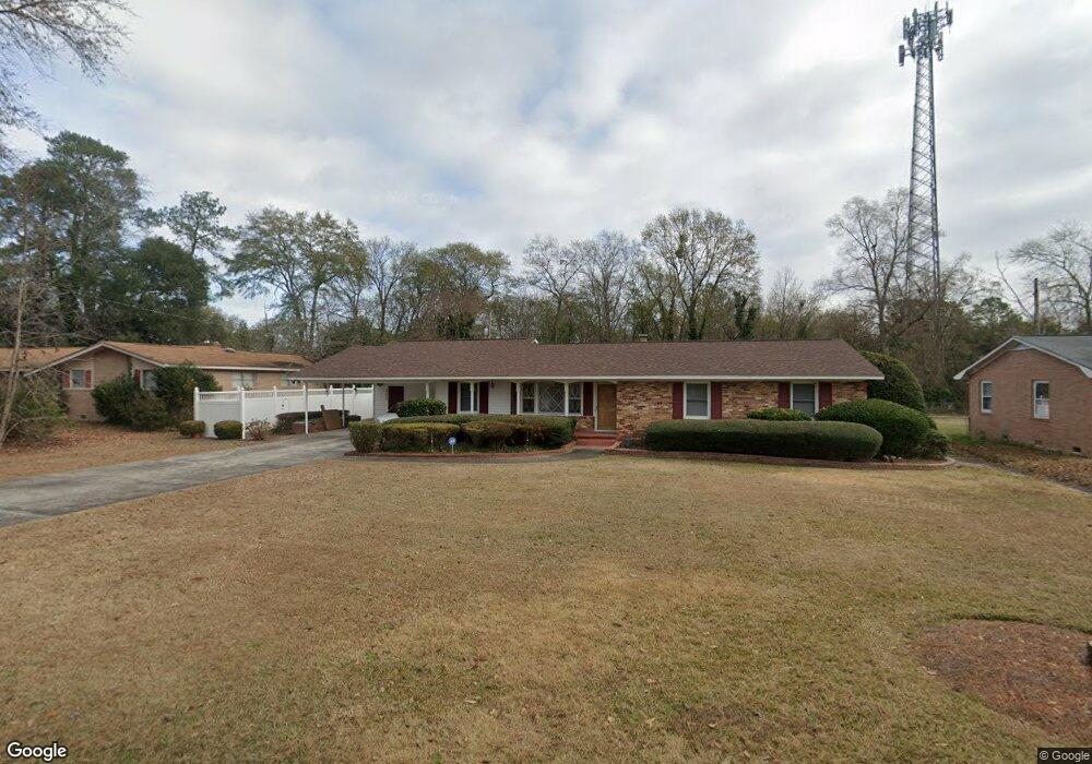
213 Danwood Dr West Columbia, SC 29169
Estimated Value: $260,000 - $292,000
3
Beds
3
Baths
2,363
Sq Ft
$118/Sq Ft
Est. Value
About This Home
This home is located at 213 Danwood Dr, West Columbia, SC 29169 and is currently estimated at $278,148, approximately $117 per square foot. 213 Danwood Dr is a home located in Lexington County with nearby schools including Riverbank Elementary, Northside Middle, and Brookland-Cayce High School.
Ownership History
Date
Name
Owned For
Owner Type
Purchase Details
Closed on
Aug 28, 2017
Sold by
Dority Rhonda B and Brady Tera B
Bought by
Mcrace Dontreese and Mcrae Sherin
Current Estimated Value
Home Financials for this Owner
Home Financials are based on the most recent Mortgage that was taken out on this home.
Original Mortgage
$125,582
Outstanding Balance
$105,122
Interest Rate
3.99%
Mortgage Type
FHA
Estimated Equity
$173,026
Purchase Details
Closed on
May 20, 2016
Sold by
Dority Rhonda B
Bought by
Dority Rhonda B and Brady Tera B
Create a Home Valuation Report for This Property
The Home Valuation Report is an in-depth analysis detailing your home's value as well as a comparison with similar homes in the area
Home Values in the Area
Average Home Value in this Area
Purchase History
| Date | Buyer | Sale Price | Title Company |
|---|---|---|---|
| Mcrace Dontreese | $127,900 | None Available | |
| Dority Rhonda B | -- | None Available |
Source: Public Records
Mortgage History
| Date | Status | Borrower | Loan Amount |
|---|---|---|---|
| Open | Mcrace Dontreese | $125,582 |
Source: Public Records
Tax History Compared to Growth
Tax History
| Year | Tax Paid | Tax Assessment Tax Assessment Total Assessment is a certain percentage of the fair market value that is determined by local assessors to be the total taxable value of land and additions on the property. | Land | Improvement |
|---|---|---|---|---|
| 2024 | $868 | $5,689 | $1,200 | $4,489 |
| 2023 | $806 | $5,689 | $1,200 | $4,489 |
| 2022 | $807 | $5,689 | $1,200 | $4,489 |
| 2020 | $802 | $5,689 | $1,200 | $4,489 |
| 2019 | $738 | $5,116 | $1,000 | $4,116 |
| 2018 | $748 | $5,116 | $1,000 | $4,116 |
| 2017 | $2,849 | $9,317 | $1,800 | $7,517 |
| 2016 | $502 | $6,211 | $1,200 | $5,011 |
| 2014 | $328 | $6,333 | $1,028 | $5,305 |
| 2013 | -- | $6,330 | $1,030 | $5,300 |
Source: Public Records
Map
Nearby Homes
- 215 Sandel Ln
- 207 Woodhaven Dr
- 349 Gum Swamp Trail
- 339 Gum Swamp Trail
- 0 Platt Springs Rd Unit 606355
- 913 Harper Rose Ct
- 179 War Admiral Dr
- 135 Silver Run Place
- 623 Hook Ave
- 116 Silver Run Place
- 2004 Dew Ave
- 615 Dawn Dr
- 529 Finnegan Ln
- 108 Harvest Glen Ln
- 348 Pinaster Path
- 500 Finnegan Ln
- 235 Harvest Glen Ln
- 333 Pinaster Path
- 329 Pinaster Path
- 391 Pinaster Path