213 Davis Rd Dawsonville, GA 30534
Dawson County NeighborhoodEstimated Value: $215,000 - $313,085
3
Beds
2
Baths
1,344
Sq Ft
$196/Sq Ft
Est. Value
About This Home
This home is located at 213 Davis Rd, Dawsonville, GA 30534 and is currently estimated at $264,043, approximately $196 per square foot. 213 Davis Rd is a home located in Dawson County with nearby schools including Robinson Elementary School, Dawson County Junior High School, and Dawson County Middle School.
Ownership History
Date
Name
Owned For
Owner Type
Purchase Details
Closed on
May 13, 2013
Sold by
Roswell Holdings Llc
Bought by
Betterton Perry S and Betterton Holly Bea
Current Estimated Value
Purchase Details
Closed on
Jul 7, 2011
Sold by
Spicer Paul
Bought by
Roswell Holdings Llc
Purchase Details
Closed on
Dec 29, 2004
Sold by
Roswell Holdings Llc
Bought by
Spicer Paul
Purchase Details
Closed on
Oct 16, 2003
Sold by
Burrows Robert
Bought by
Roswell Holdings Llc
Create a Home Valuation Report for This Property
The Home Valuation Report is an in-depth analysis detailing your home's value as well as a comparison with similar homes in the area
Home Values in the Area
Average Home Value in this Area
Purchase History
| Date | Buyer | Sale Price | Title Company |
|---|---|---|---|
| Betterton Perry S | $8,000 | -- | |
| Roswell Holdings Llc | -- | -- | |
| Spicer Paul | $95,000 | -- | |
| Roswell Holdings Llc | -- | -- |
Source: Public Records
Tax History Compared to Growth
Tax History
| Year | Tax Paid | Tax Assessment Tax Assessment Total Assessment is a certain percentage of the fair market value that is determined by local assessors to be the total taxable value of land and additions on the property. | Land | Improvement |
|---|---|---|---|---|
| 2024 | $1,566 | $94,000 | $25,200 | $68,800 |
| 2023 | $1,529 | $89,400 | $19,200 | $70,200 |
| 2022 | $1,586 | $74,040 | $13,360 | $60,680 |
| 2021 | $1,414 | $62,480 | $13,360 | $49,120 |
| 2020 | $1,443 | $61,000 | $13,040 | $47,960 |
| 2019 | $1,254 | $52,560 | $13,040 | $39,520 |
| 2018 | $1,257 | $52,560 | $13,040 | $39,520 |
| 2017 | $752 | $31,433 | $6,449 | $24,984 |
| 2016 | $756 | $31,603 | $6,449 | $25,154 |
| 2015 | $664 | $26,898 | $1,744 | $25,154 |
| 2014 | $580 | $22,755 | $1,744 | $21,011 |
| 2013 | -- | $19,994 | $1,744 | $18,250 |
Source: Public Records
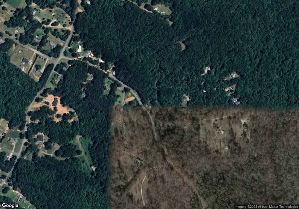
Map
Nearby Homes
- 31 Haygood Cir
- 237 Nugget Ridge Rd
- 167 Nugget Ridge Rd
- 1527 Goldmine Rd
- 0 Cleve Wright Rd Unit 10602602
- 0 Cleve Wright Rd Unit 7647784
- 683 Duck Thurmond Rd
- 702 Joe Lane Cox Rd Unit 201
- 702 Joe Lane Cox Rd Unit 220
- 702 Joe Lane Cox Rd Unit 102
- 700 Joe Lane Cox Rd Unit 221
- 119 Sweetwater Juno Rd
- 3066 Sweetwater Juno Rd
- 0 Sweetwater Church Rd Unit 10239592
- 0 Sweetwater Church Rd Unit 7322282
- 166 Elliott Family Pkwy
- 7165 Ellorie Estates Unit LOT 58
- Lot 2 Yancy Dr
- 6 Crawford Place
- 9 Crawford Crest
- 143 Davis Rd
- 140 Davis Rd
- 93 Rosemary Dr
- 106 Davis Rd
- 284 Davis Rd
- 146 Dakota Trail
- 0 Dakota Trail Unit 3204801
- 0 Dakota Trail
- 189 Rosemary Dr
- 629 Nugget Ridge Rd
- 453 Nugget Ridge Rd
- 192 Rosemary Dr
- 465 Nugget Ridge Rd
- 0 Rosemary Dr Unit 7104761
- 0 Rosemary Dr Unit 7438468
- 0 Rosemary Dr
- 187 Dakota Trail
- 111 Blue Spruce Trail
- 619 Nugget Ridge Rd