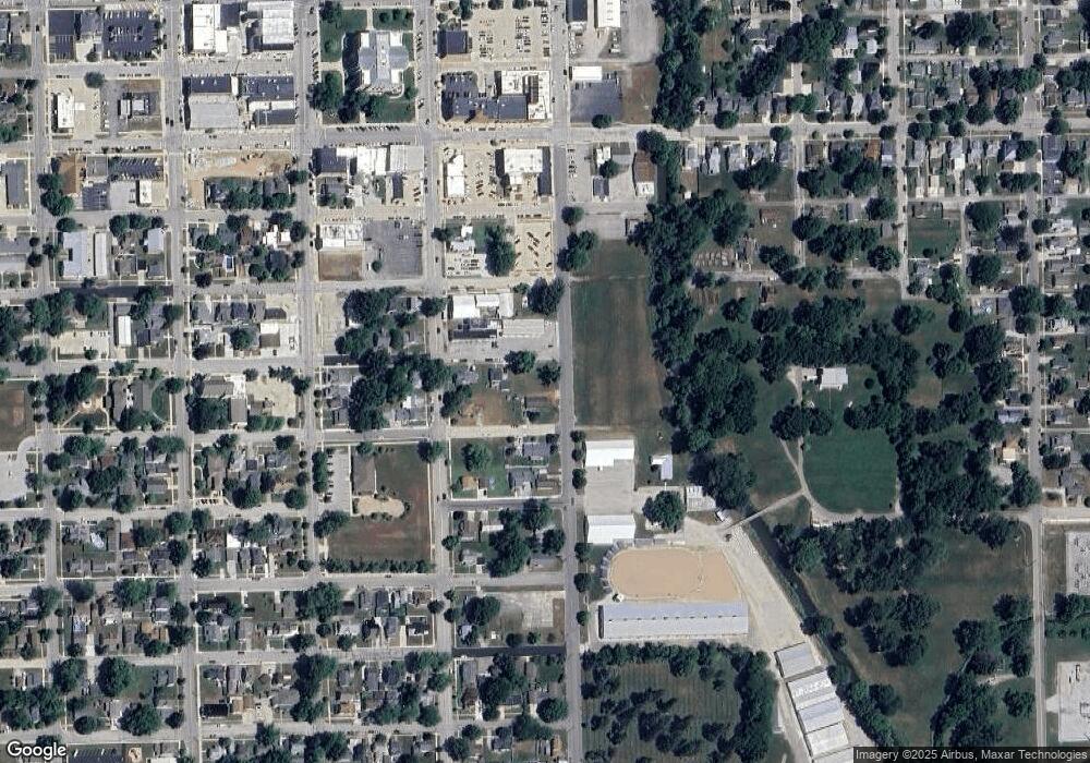
213 E 12th St Auburn, IN 46706
2
Beds
1
Bath
692
Sq Ft
7,405
Sq Ft Lot
About This Home
This home is located at 213 E 12th St, Auburn, IN 46706. 213 E 12th St is a home located in DeKalb County with nearby schools including DeKalb High School and Lakewood Park Christian School.
Ownership History
Date
Name
Owned For
Owner Type
Purchase Details
Closed on
Jun 17, 2011
Sold by
Wells N A
Bought by
City Of Auburn
Purchase Details
Closed on
Jun 15, 2011
Sold by
Wells Fargo Bank N A
Bought by
City Of Auburn
Purchase Details
Closed on
Jun 10, 2010
Sold by
Hankey Bradley J
Bought by
Wells Fargo Home Mortgage
Purchase Details
Closed on
Apr 29, 2002
Sold by
Kiessling Thomas A and Kiessling Victoria L
Bought by
Hankey Bradley J
Purchase Details
Closed on
Sep 21, 2001
Sold by
Contimortgage Corp Attn:Conti Loan
Bought by
Kiessling Thomas A and Kiessling Victoria L
Purchase Details
Closed on
Jan 24, 2001
Sold by
Carnahan Patrick L and Carnahan Jennifer L
Bought by
Contimortgage Corp Attn & Conti Loan
Purchase Details
Closed on
Aug 5, 1997
Sold by
Shoudel Donald J and Shoudel Mary M
Bought by
Carnaham Patrick and Carnaham Jennifer
Create a Home Valuation Report for This Property
The Home Valuation Report is an in-depth analysis detailing your home's value as well as a comparison with similar homes in the area
Home Values in the Area
Average Home Value in this Area
Purchase History
| Date | Buyer | Sale Price | Title Company |
|---|---|---|---|
| City Of Auburn | -- | Service Link | |
| City Of Auburn | -- | Servicelink | |
| Wells Fargo Home Mortgage | $35,253 | None Available | |
| Hankey Bradley J | $57,000 | -- | |
| Kiessling Thomas A | $30,000 | -- | |
| Contimortgage Corp Attn & Conti Loan | -- | -- | |
| Carnaham Patrick | $32,000 | -- |
Source: Public Records
Tax History
| Year | Tax Paid | Tax Assessment Tax Assessment Total Assessment is a certain percentage of the fair market value that is determined by local assessors to be the total taxable value of land and additions on the property. | Land | Improvement |
|---|---|---|---|---|
| 2024 | $6 | $0 | $0 | $0 |
| 2023 | $6 | $0 | $0 | $0 |
| 2022 | $6 | $0 | $0 | $0 |
| 2021 | $0 | $0 | $0 | $0 |
| 2020 | $6 | $0 | $0 | $0 |
| 2019 | $6 | $0 | $0 | $0 |
| 2018 | $6 | $0 | $0 | $0 |
| 2017 | $6 | $0 | $0 | $0 |
| 2016 | $6 | $0 | $0 | $0 |
| 2014 | -- | $0 | $0 | $0 |
Source: Public Records
Map
Nearby Homes
- TBD S Union St
- 703 S Main St
- 300 E 7th St
- 901 S Van Buren St
- 213 E 5th St
- 110 Center St
- 331 W 15th St
- 410 N Cedar St
- 271 N Mcclellan St Unit 105
- 350 W 9th St
- 518 S Indiana Ave
- 218 Iwo St
- TBD Douglas St
- 1102 Riviera Ct
- 1404 Chestnut Ct
- 1301 Superior Dr
- 1412 Duesenberg Dr
- 1309 Hiawatha Place
- 1501 Foley Ct
- 1701 Birch Run
