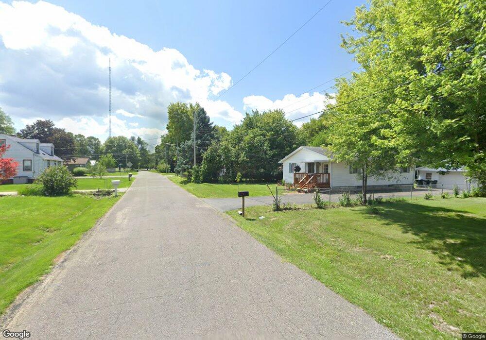
213 Elizabeth St East Peoria, IL 61611
Estimated Value: $90,000 - $105,000
2
Beds
1
Bath
816
Sq Ft
$118/Sq Ft
Est. Value
About This Home
This home is located at 213 Elizabeth St, East Peoria, IL 61611 and is currently estimated at $95,974, approximately $117 per square foot. 213 Elizabeth St is a home located in Tazewell County with nearby schools including Lasalle Elementary School, Parkview Jr High School, and East Peoria High School.
Ownership History
Date
Name
Owned For
Owner Type
Purchase Details
Closed on
May 23, 2018
Sold by
Miars Donna J and Montgomery Jimmie R
Bought by
Bort Micheal J
Current Estimated Value
Home Financials for this Owner
Home Financials are based on the most recent Mortgage that was taken out on this home.
Original Mortgage
$58,913
Outstanding Balance
$51,943
Interest Rate
5.5%
Mortgage Type
FHA
Estimated Equity
$44,031
Purchase Details
Closed on
Nov 9, 2016
Sold by
Bort Connie S and Montgomery Emma L
Bought by
Miars Donna J and Montgomery Jimmie R
Create a Home Valuation Report for This Property
The Home Valuation Report is an in-depth analysis detailing your home's value as well as a comparison with similar homes in the area
Home Values in the Area
Average Home Value in this Area
Purchase History
| Date | Buyer | Sale Price | Title Company |
|---|---|---|---|
| Bort Micheal J | $60,000 | Hometown Title | |
| Miars Donna J | -- | -- |
Source: Public Records
Mortgage History
| Date | Status | Borrower | Loan Amount |
|---|---|---|---|
| Open | Bort Micheal J | $58,913 |
Source: Public Records
Tax History Compared to Growth
Tax History
| Year | Tax Paid | Tax Assessment Tax Assessment Total Assessment is a certain percentage of the fair market value that is determined by local assessors to be the total taxable value of land and additions on the property. | Land | Improvement |
|---|---|---|---|---|
| 2024 | $1,178 | $20,430 | $4,220 | $16,210 |
| 2023 | $1,178 | $18,750 | $3,870 | $14,880 |
| 2022 | $1,086 | $17,340 | $3,580 | $13,760 |
| 2021 | $1,013 | $16,670 | $3,440 | $13,230 |
| 2020 | $980 | $16,670 | $3,440 | $13,230 |
| 2019 | $971 | $16,670 | $3,440 | $13,230 |
| 2018 | $1,479 | $16,670 | $3,440 | $13,230 |
| 2017 | $1,463 | $16,160 | $3,340 | $12,820 |
| 2016 | $0 | $16,160 | $3,340 | $12,820 |
| 2015 | $0 | $0 | $0 | $0 |
| 2013 | -- | $16,160 | $3,340 | $12,820 |
Source: Public Records
Map
Nearby Homes
- 101 Woodbrook Ct
- 108 Kohl St
- 2217 Springfield Rd
- 3041 Zion Oaks Rd
- 1604 Springfield Rd
- 129 Glenridge Dr
- 106 Field Grove Rd
- 1406 Springfield Rd
- 104 Lewis Ct
- 515 Briarbrook Dr
- 404 Rainbow Dr
- 409 Briarbrook Dr
- 301 Briarbrook Dr
- Lot 1 Briarbrook Dr
- Lot 2 Briarbrook Dr
- Lot 4 Harris Rd
- 015 Harris Rd
- 529 Carola St
- 1203 Springfield Rd
- 1115 Fischer Rd
- 221 Elizabeth St
- 205 Elizabeth St
- 231 Elizabeth St
- 200 Elizabeth St
- 220 Elizabeth St
- 237 Elizabeth St
- 228 Elizabeth St
- 216 Belaire Ct
- 124 Elizabeth St
- 212 Belaire Ct
- 218 Belaire Ct
- 232 Elizabeth St
- 239 Elizabeth St
- 200 Belaire Ct
- 203 Elizabeth St
- 116 Elizabeth St
- 103 Frederick St
- 2336 Cole St
- 2332 Cole St