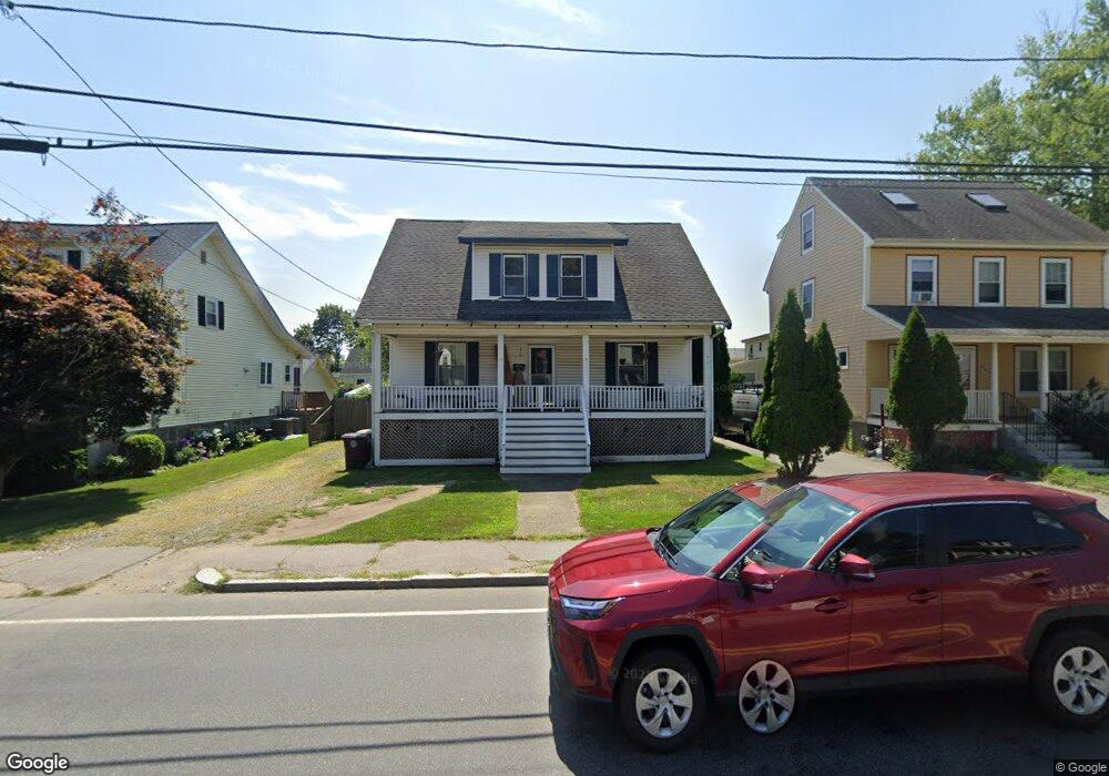
213 Evans St North Weymouth, MA 02191
North Weymouth NeighborhoodEstimated Value: $533,000 - $541,000
--
Bed
1
Bath
1,547
Sq Ft
$347/Sq Ft
Est. Value
About This Home
This home is located at 213 Evans St, North Weymouth, MA 02191 and is currently estimated at $536,725, approximately $346 per square foot. 213 Evans St is a home located in Norfolk County with nearby schools including Wessagusset Elementary School, Abigail Adams Middle School, and Weymouth Middle School Chapman.
Ownership History
Date
Name
Owned For
Owner Type
Purchase Details
Closed on
Sep 16, 2019
Sold by
Main Bonnie D
Bought by
Hennebury Robert and Wang Michelle
Current Estimated Value
Home Financials for this Owner
Home Financials are based on the most recent Mortgage that was taken out on this home.
Original Mortgage
$260,930
Outstanding Balance
$229,021
Interest Rate
3.7%
Mortgage Type
New Conventional
Estimated Equity
$307,704
Create a Home Valuation Report for This Property
The Home Valuation Report is an in-depth analysis detailing your home's value as well as a comparison with similar homes in the area
Home Values in the Area
Average Home Value in this Area
Purchase History
| Date | Buyer | Sale Price | Title Company |
|---|---|---|---|
| Hennebury Robert | $269,000 | -- |
Source: Public Records
Mortgage History
| Date | Status | Borrower | Loan Amount |
|---|---|---|---|
| Open | Hennebury Robert | $260,930 |
Source: Public Records
Tax History Compared to Growth
Tax History
| Year | Tax Paid | Tax Assessment Tax Assessment Total Assessment is a certain percentage of the fair market value that is determined by local assessors to be the total taxable value of land and additions on the property. | Land | Improvement |
|---|---|---|---|---|
| 2025 | $4,616 | $457,000 | $190,200 | $266,800 |
| 2024 | $4,470 | $435,200 | $181,100 | $254,100 |
| 2023 | $4,317 | $413,100 | $167,700 | $245,400 |
| 2022 | $4,207 | $367,100 | $155,300 | $211,800 |
| 2021 | $3,878 | $330,300 | $155,300 | $175,000 |
| 2020 | $3,696 | $310,100 | $155,300 | $154,800 |
| 2019 | $3,606 | $297,500 | $149,300 | $148,200 |
| 2018 | $3,495 | $279,600 | $142,200 | $137,400 |
| 2017 | $3,341 | $260,800 | $135,500 | $125,300 |
| 2016 | $3,209 | $250,700 | $130,200 | $120,500 |
| 2015 | $3,095 | $239,900 | $130,200 | $109,700 |
| 2014 | $2,965 | $222,900 | $121,200 | $101,700 |
Source: Public Records
Map
Nearby Homes
- 14 Crescent Rd
- 88 Saning Rd
- 65 Saning Rd
- 6 Grand View Rd
- 104 Kings Cove Beach Rd
- 137 Wessagussett Rd
- 41 Pecksuot Rd
- 159 Wessagussett Rd
- 70 Biscayne Ave
- 59 Katherine St
- 320 Green St
- 38 Idlewell St
- 43 Flint Locke Dr
- 79 Bicknell St
- 669 Commercial St
- 15 1st St
- 69 Great Hill Dr
- 109 Merryknoll Rd
- 20 Richards Rd
- 294 Commercial St
- 209 Evans St
- 217 Evans St
- 12 Woronoco Rd
- 16 Woronoco Rd
- 16 Woronoco Rd Unit 16
- 6 Gilmore St
- 15 Gilmore St
- 208 Evans St Unit 210
- 212 Evans St
- 212 Evans St Unit 2
- 212 Evans St Unit A
- 214 Evans St
- 199 Evans St
- 220 Evans St
- 225 Evans St
- 14 Gilmore St
- 43 Delorey Ave
- 18 Woronoco Rd
- 224 Evans St
- 195 Evans St