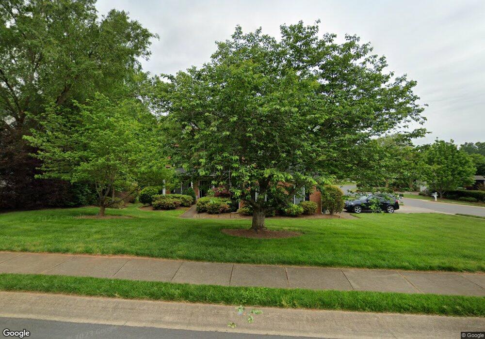
213 Fernbrook Dr Unit 19 Mooresville, NC 28117
Estimated Value: $673,656 - $790,000
5
Beds
4
Baths
3,300
Sq Ft
$221/Sq Ft
Est. Value
About This Home
This home is located at 213 Fernbrook Dr Unit 19, Mooresville, NC 28117 and is currently estimated at $729,914, approximately $221 per square foot. 213 Fernbrook Dr Unit 19 is a home located in Iredell County with nearby schools including Lake Norman Elementary School and Lake Norman High School.
Ownership History
Date
Name
Owned For
Owner Type
Purchase Details
Closed on
Dec 15, 2017
Sold by
Bailey Allen C and Bailey Tracie A
Bought by
Arscott Phillp John and Brillhart Diana Marie
Current Estimated Value
Home Financials for this Owner
Home Financials are based on the most recent Mortgage that was taken out on this home.
Original Mortgage
$200,000
Outstanding Balance
$111,343
Interest Rate
3.94%
Mortgage Type
New Conventional
Estimated Equity
$618,571
Purchase Details
Closed on
Dec 29, 1999
Sold by
Niblock Dev Corp
Bought by
Bailey Allen C and Bailey Tracie A
Home Financials for this Owner
Home Financials are based on the most recent Mortgage that was taken out on this home.
Original Mortgage
$239,400
Interest Rate
7.68%
Purchase Details
Closed on
Jul 17, 1998
Sold by
Edward Knox H and Edward Frances
Bought by
Niblock Development Corp
Purchase Details
Closed on
Jan 1, 1996
Create a Home Valuation Report for This Property
The Home Valuation Report is an in-depth analysis detailing your home's value as well as a comparison with similar homes in the area
Home Values in the Area
Average Home Value in this Area
Purchase History
| Date | Buyer | Sale Price | Title Company |
|---|---|---|---|
| Arscott Phillp John | $375,000 | None Available | |
| Bailey Allen C | $282,000 | -- | |
| Niblock Development Corp | $271,500 | -- | |
| -- | -- | -- |
Source: Public Records
Mortgage History
| Date | Status | Borrower | Loan Amount |
|---|---|---|---|
| Open | Arscott Phillp John | $200,000 | |
| Previous Owner | Bailey Allen C | $239,400 | |
| Closed | Bailey Allen C | $20,000 |
Source: Public Records
Tax History Compared to Growth
Tax History
| Year | Tax Paid | Tax Assessment Tax Assessment Total Assessment is a certain percentage of the fair market value that is determined by local assessors to be the total taxable value of land and additions on the property. | Land | Improvement |
|---|---|---|---|---|
| 2024 | $5,711 | $536,380 | $100,000 | $436,380 |
| 2023 | $5,480 | $536,380 | $100,000 | $436,380 |
| 2022 | $4,325 | $370,960 | $70,000 | $300,960 |
| 2021 | $4,321 | $370,960 | $70,000 | $300,960 |
| 2020 | $4,321 | $370,960 | $70,000 | $300,960 |
| 2019 | $4,284 | $370,960 | $70,000 | $300,960 |
| 2018 | $4,179 | $361,770 | $80,000 | $281,770 |
| 2017 | $4,119 | $361,770 | $80,000 | $281,770 |
| 2016 | $4,119 | $361,770 | $80,000 | $281,770 |
| 2015 | $4,119 | $361,770 | $80,000 | $281,770 |
| 2014 | $4,624 | $364,300 | $80,000 | $284,300 |
Source: Public Records
Map
Nearby Homes
- 126 Greenhill Ln
- 130 Mcneil Ln Unit 5
- 106 Cambria Place
- 134 Ashwood Ln
- 119 Ashwood Ln
- 115 Morrocroft Ln
- 126 Matlen Dr
- 132 Riding Trail
- 113 Burlingame Ct
- 113 Burlingame Ct Unit D
- 106 Clarendon St Unit B
- 125 Castleton Dr
- 110 Whitehall Dr
- 254 Montibello Dr
- 121 Canvasback Rd
- 113 Steeplechase Ave
- 171 Vance Crescent Dr
- 108 Certificate St Unit C
- 108 Certificate St Unit A
- 101 Keswick Ln
- 213 Fernbrook Dr
- 209 Fernbrook Dr
- 219 Fernbrook Dr
- 232 Castles Gate Dr
- 252 Castles Gate Dr
- 205 Fernbrook Dr
- 190 Longboat Rd
- 233 Castles Gate Dr
- 225 Fernbrook Dr
- 220 Fernbrook Dr
- 258 Castles Gate Dr
- 201 Fernbrook Dr
- 223 Castles Gate Dr
- 257 Castles Gate Dr
- 184 Longboat Rd
- 224 Castles Gate Dr
- 224 Castles Gate Dr Unit 18
- 226 Fernbrook Dr
- 229 Fernbrook Dr
- 264 Castles Gate Dr