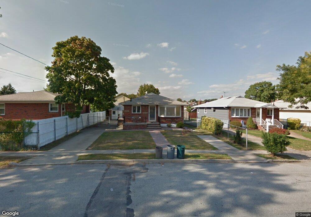
213 Foch Ave Staten Island, NY 10305
South Beach NeighborhoodEstimated Value: $606,000 - $725,000
3
Beds
2
Baths
1,026
Sq Ft
$655/Sq Ft
Est. Value
About This Home
This home is located at 213 Foch Ave, Staten Island, NY 10305 and is currently estimated at $672,395, approximately $655 per square foot. 213 Foch Ave is a home located in Richmond County with nearby schools including P.S. 46 Albert V Maniscalco, I.S. 49 Berta A Dreyfus, and Curtis High School.
Ownership History
Date
Name
Owned For
Owner Type
Purchase Details
Closed on
Sep 18, 2023
Sold by
Structured Asset Investment Loan Trust
Bought by
Cao Amy
Current Estimated Value
Purchase Details
Closed on
Oct 6, 2022
Sold by
Siracusa Cynthia
Bought by
Structured Asset Investment Loan Trust and American Express Bank Fsb
Purchase Details
Closed on
Dec 22, 2004
Sold by
Siracusa Domenic and Siracusa Cynthia
Bought by
Siracusa Cynthia and Valle Cynthia
Home Financials for this Owner
Home Financials are based on the most recent Mortgage that was taken out on this home.
Original Mortgage
$343,000
Interest Rate
8.14%
Mortgage Type
New Conventional
Create a Home Valuation Report for This Property
The Home Valuation Report is an in-depth analysis detailing your home's value as well as a comparison with similar homes in the area
Home Values in the Area
Average Home Value in this Area
Purchase History
| Date | Buyer | Sale Price | Title Company |
|---|---|---|---|
| Cao Amy | $506,000 | Old Republic National Title In | |
| Structured Asset Investment Loan Trust | $637,500 | Closing Usa | |
| Siracusa Cynthia | -- | New York Title Research Corp |
Source: Public Records
Mortgage History
| Date | Status | Borrower | Loan Amount |
|---|---|---|---|
| Previous Owner | Siracusa Cynthia | $343,000 |
Source: Public Records
Tax History Compared to Growth
Tax History
| Year | Tax Paid | Tax Assessment Tax Assessment Total Assessment is a certain percentage of the fair market value that is determined by local assessors to be the total taxable value of land and additions on the property. | Land | Improvement |
|---|---|---|---|---|
| 2025 | $4,876 | $40,140 | $6,024 | $34,116 |
| 2024 | $4,876 | $37,500 | $6,448 | $31,052 |
| 2023 | $4,893 | $24,095 | $6,201 | $17,894 |
| 2022 | $4,538 | $35,940 | $9,960 | $25,980 |
| 2021 | $4,513 | $37,800 | $9,960 | $27,840 |
| 2020 | $4,283 | $35,820 | $9,960 | $25,860 |
| 2019 | $4,232 | $34,080 | $9,960 | $24,120 |
| 2018 | $4,093 | $20,079 | $6,988 | $13,091 |
| 2017 | $3,862 | $18,943 | $7,670 | $11,273 |
| 2016 | $3,573 | $17,871 | $7,827 | $10,044 |
| 2015 | $3,236 | $16,860 | $8,280 | $8,580 |
| 2014 | $3,236 | $16,860 | $8,280 | $8,580 |
Source: Public Records
Map
Nearby Homes
- 236 Mallory Ave
- 200 Mallory Ave
- 220 Norway Ave
- 504 Mcclean Ave
- 166 Jerome Ave
- 12 Reid Ave
- 11 Lava St
- 109 Jerome Ave
- 71 Cameron Ave
- 40 Mclaughlin St
- 68 Kensington Ave
- 84 Winfield St
- 62 Mclaughlin St
- 49 Mclaughlin St
- 150 Linwood Ave
- 104 Winfield St
- 53 Andrews St
- 11 Jerome Ave
- 46 Olympia Blvd
- 44 Olympia Blvd
- 209 Foch Ave
- 243 Mallory Ave
- 237 Mallory Ave
- 205 Foch Ave
- 224 Lamport Blvd
- 233 Mallory Ave
- 220 Lamport Blvd
- 234 Mallory Ave
- 216 Lamport Blvd
- 214 Foch Ave
- 210 Foch Ave
- 263 Mallory Ave
- 242 Mallory Ave
- 244 Mallory Ave
- 248 Mallory Ave
- 225 Mallory Ave
- 202 Foch Ave
- 212 Lamport Blvd
- 232 Mallory Ave
- 189 Foch Ave