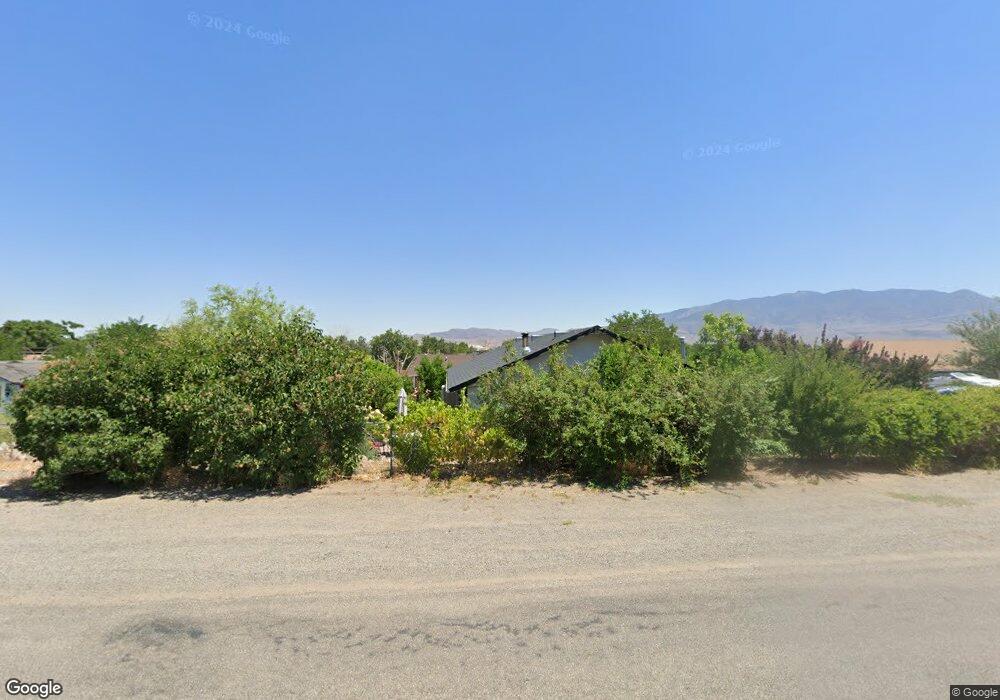
213 Grosh Ave Unit C Dayton, NV 89403
Estimated Value: $361,000 - $447,000
3
Beds
2
Baths
1,276
Sq Ft
$308/Sq Ft
Est. Value
About This Home
This home is located at 213 Grosh Ave Unit C, Dayton, NV 89403 and is currently estimated at $393,109, approximately $308 per square foot. 213 Grosh Ave Unit C is a home located in Lyon County with nearby schools including Sutro Elementary School, Dayton Intermediate School, and Dayton High School.
Ownership History
Date
Name
Owned For
Owner Type
Purchase Details
Closed on
Apr 30, 2011
Sold by
Grosh Trust #213
Bought by
Dominguez Raul
Current Estimated Value
Purchase Details
Closed on
Mar 17, 2011
Sold by
Citimortgage Inc
Bought by
Nres Nv-1 Llc and Grosh Trust #213
Purchase Details
Closed on
Mar 27, 2010
Sold by
Flores Joan S and Kidwell Gabrielle Angel
Bought by
Citimortgage Inc
Purchase Details
Closed on
Oct 3, 2006
Sold by
Flores Joan
Bought by
Flores Joan and Kidwell Gabrielle
Home Financials for this Owner
Home Financials are based on the most recent Mortgage that was taken out on this home.
Original Mortgage
$160,000
Interest Rate
6.36%
Mortgage Type
New Conventional
Create a Home Valuation Report for This Property
The Home Valuation Report is an in-depth analysis detailing your home's value as well as a comparison with similar homes in the area
Home Values in the Area
Average Home Value in this Area
Purchase History
| Date | Buyer | Sale Price | Title Company |
|---|---|---|---|
| Dominguez Raul | $42,500 | Western Title Company | |
| Nres Nv-1 Llc | $40,000 | First American Title Ins Co | |
| Citimortgage Inc | $57,808 | Accommodation | |
| Flores Joan | -- | Homeland Title |
Source: Public Records
Mortgage History
| Date | Status | Borrower | Loan Amount |
|---|---|---|---|
| Previous Owner | Flores Joan | $160,000 |
Source: Public Records
Tax History Compared to Growth
Tax History
| Year | Tax Paid | Tax Assessment Tax Assessment Total Assessment is a certain percentage of the fair market value that is determined by local assessors to be the total taxable value of land and additions on the property. | Land | Improvement |
|---|---|---|---|---|
| 2025 | $1,555 | $82,312 | $49,000 | $33,312 |
| 2024 | $1,440 | $82,866 | $49,000 | $33,866 |
| 2023 | $1,440 | $80,953 | $49,000 | $31,953 |
| 2022 | $1,062 | $82,881 | $52,822 | $30,059 |
| 2021 | $984 | $82,425 | $52,822 | $29,603 |
| 2020 | $910 | $81,175 | $52,820 | $28,355 |
| 2019 | $853 | $65,345 | $37,730 | $27,615 |
| 2018 | $813 | $54,011 | $26,950 | $27,061 |
| 2017 | $780 | $40,365 | $13,130 | $27,235 |
| 2016 | $760 | $30,187 | $7,090 | $23,097 |
| 2015 | $759 | $23,703 | $7,090 | $16,613 |
| 2014 | $735 | $23,483 | $7,090 | $16,393 |
Source: Public Records
Map
Nearby Homes
- 221 Glen Vista Dr
- 240 Misty Way
- 188 Rose Peak Rd
- 214 Green Ln
- 475 Sheep Camp Dr Unit Lot 141
- 471 Sheep Camp Dr Unit Lot 139
- 469 Sheep Camp Dr Unit Amber 138
- 469 Sheep Camp Dr
- 467 Sheep Camp Dr Unit Lot 137
- 467 Sheep Camp Dr
- 463 Sheep Camp Dr Unit Lot 135
- 463 Sheep Camp Dr
- 474 Sheep Camp Dr
- 470 Sheep Camp Dr
- 470 Sheep Camp Dr Unit Lot 129
- 468 Sheep Camp Dr
- 462 Sheep Camp Dr
- 466 Sheep Camp Dr
- 466 Sheep Camp Dr Unit Lot 131
- 19 Rose Peak Rd
- 213 Grosh Ave Unit A
- 213 Grosh Ave Unit B
- 213 Grosh Ave
- 212 Coons Cir
- 212 Coons Cir Unit C
- 212e Coons Cir
- 213B Grosh Ave
- 130 Rose Peak Rd
- 212f Coons Cir
- 212d Coons Cir
- 137 Rose Peak Rd
- 141 Rose Peak Rd
- 126 Rose Peak Rd
- 207 Grosh Ave
- 307 A Grosh Ave
- 204 "B" Grosh Ave
- 320 Grosh Ave
- 145 Rose Peak Rd
- 152 Rose Peak Rd
- 208 Grosh Ave