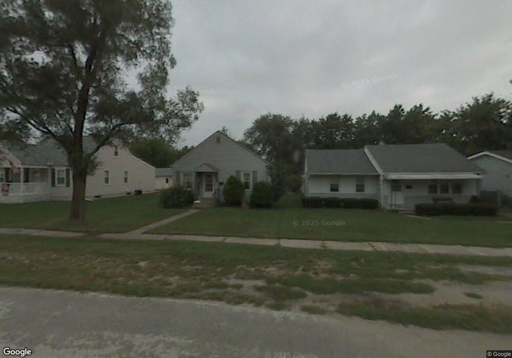
213 Guy St Walbridge, OH 43465
Estimated Value: $154,000 - $171,000
2
Beds
1
Bath
1,051
Sq Ft
$153/Sq Ft
Est. Value
About This Home
This home is located at 213 Guy St, Walbridge, OH 43465 and is currently estimated at $160,852, approximately $153 per square foot. 213 Guy St is a home located in Wood County with nearby schools including Lake Elementary School, Lake Middle School, and Lake High School.
Ownership History
Date
Name
Owned For
Owner Type
Purchase Details
Closed on
May 23, 2022
Sold by
Kelly Ryan M
Bought by
Mahoney Meagan M and Hughes Tyler G
Current Estimated Value
Home Financials for this Owner
Home Financials are based on the most recent Mortgage that was taken out on this home.
Original Mortgage
$123,500
Outstanding Balance
$116,350
Interest Rate
5%
Mortgage Type
New Conventional
Estimated Equity
$44,502
Purchase Details
Closed on
Dec 17, 2021
Sold by
Kelly James B
Bought by
Kelly Ryan M
Home Financials for this Owner
Home Financials are based on the most recent Mortgage that was taken out on this home.
Original Mortgage
$52,000
Interest Rate
3.11%
Mortgage Type
New Conventional
Purchase Details
Closed on
Jan 13, 1989
Bought by
Reed Sharon L
Create a Home Valuation Report for This Property
The Home Valuation Report is an in-depth analysis detailing your home's value as well as a comparison with similar homes in the area
Home Values in the Area
Average Home Value in this Area
Purchase History
| Date | Buyer | Sale Price | Title Company |
|---|---|---|---|
| Mahoney Meagan M | $130,000 | Liberty Title | |
| Kelly Ryan M | $65,000 | Ballenger&Moore Co Lpa | |
| Kelly Ryan M | $65,000 | None Listed On Document | |
| Reed Sharon L | $34,000 | -- |
Source: Public Records
Mortgage History
| Date | Status | Borrower | Loan Amount |
|---|---|---|---|
| Open | Mahoney Meagan M | $123,500 | |
| Previous Owner | Kelly Ryan M | $52,000 |
Source: Public Records
Tax History
| Year | Tax Paid | Tax Assessment Tax Assessment Total Assessment is a certain percentage of the fair market value that is determined by local assessors to be the total taxable value of land and additions on the property. | Land | Improvement |
|---|---|---|---|---|
| 2025 | $1,837 | $41,265 | $7,070 | $34,195 |
| 2024 | $1,829 | $41,265 | $7,070 | $34,195 |
| 2023 | $1,829 | $41,270 | $7,070 | $34,200 |
| 2021 | $920 | $26,570 | $7,070 | $19,500 |
| 2020 | $865 | $26,570 | $7,070 | $19,500 |
| 2019 | $782 | $23,030 | $7,070 | $15,960 |
| 2018 | $779 | $23,030 | $7,070 | $15,960 |
| 2017 | $688 | $23,030 | $7,070 | $15,960 |
| 2016 | $572 | $19,670 | $6,370 | $13,300 |
| 2015 | $572 | $19,670 | $6,370 | $13,300 |
| 2014 | $614 | $19,670 | $6,370 | $13,300 |
| 2013 | $766 | $21,840 | $7,070 | $14,770 |
Source: Public Records
Map
Nearby Homes
- 114 E Perry St
- 225 E Union St
- 100 W Union St
- 236 S Bridge Rd
- 238 S Bridge Rd
- 232 S Bridge Rd
- 241 S Bridge Rd
- 237 S Bridge Rd
- 30236 Lemoyne Rd
- 30348 Lemoyne Rd
- 5501 Ayers Rd
- 199 E Bridge Rd
- 3901 Plumey Rd
- 0 Williston Rd
- 3517 Goodrich Ave
- 115 W Bridge Rd
- 113 W Bridge Rd
- 111 W Bridge Rd
- 117 W Bridge Rd
- 230 S Bridge Rd
Your Personal Tour Guide
Ask me questions while you tour the home.