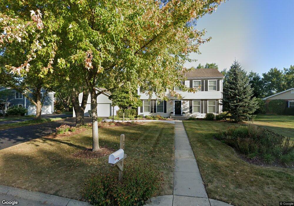
213 Heath Ct Barrington, IL 60010
South Barrington NeighborhoodEstimated Value: $601,677 - $671,000
4
Beds
3
Baths
2,199
Sq Ft
$288/Sq Ft
Est. Value
About This Home
This home is located at 213 Heath Ct, Barrington, IL 60010 and is currently estimated at $632,669, approximately $287 per square foot. 213 Heath Ct is a home located in Cook County with nearby schools including Arnett C. Lines Elementary School, Barrington Middle School Station Campus, and Barrington High School.
Ownership History
Date
Name
Owned For
Owner Type
Purchase Details
Closed on
Aug 13, 2004
Sold by
Cooper John F
Bought by
Cooper John F and John F Cooper Trust
Current Estimated Value
Purchase Details
Closed on
Sep 3, 2003
Sold by
Cooper John F and Cooper Lisa A
Bought by
Cooper John F and John F Cooper Trust
Purchase Details
Closed on
Jan 10, 1998
Sold by
Vespucci Brian F and Vespucci Beverly K
Bought by
Cooper John F and Cooper Lisa A
Home Financials for this Owner
Home Financials are based on the most recent Mortgage that was taken out on this home.
Original Mortgage
$208,000
Interest Rate
7.08%
Create a Home Valuation Report for This Property
The Home Valuation Report is an in-depth analysis detailing your home's value as well as a comparison with similar homes in the area
Home Values in the Area
Average Home Value in this Area
Purchase History
| Date | Buyer | Sale Price | Title Company |
|---|---|---|---|
| Cooper John F | -- | -- | |
| Cooper John F | -- | -- | |
| Cooper John F | $307,500 | -- |
Source: Public Records
Mortgage History
| Date | Status | Borrower | Loan Amount |
|---|---|---|---|
| Previous Owner | Cooper John F | $208,000 |
Source: Public Records
Tax History Compared to Growth
Tax History
| Year | Tax Paid | Tax Assessment Tax Assessment Total Assessment is a certain percentage of the fair market value that is determined by local assessors to be the total taxable value of land and additions on the property. | Land | Improvement |
|---|---|---|---|---|
| 2024 | $7,149 | $33,094 | $7,168 | $25,926 |
| 2023 | $7,686 | $38,944 | $7,168 | $31,776 |
| 2022 | $7,686 | $38,944 | $7,168 | $31,776 |
| 2021 | $7,814 | $35,276 | $4,380 | $30,896 |
| 2020 | $8,022 | $36,993 | $4,380 | $32,613 |
| 2019 | $8,258 | $42,819 | $4,380 | $38,439 |
| 2018 | $7,741 | $38,264 | $3,982 | $34,282 |
| 2017 | $8,001 | $40,112 | $3,982 | $36,130 |
| 2016 | $8,455 | $43,271 | $3,982 | $39,289 |
| 2015 | $7,645 | $36,657 | $3,584 | $33,073 |
| 2014 | $7,571 | $36,657 | $3,584 | $33,073 |
| 2013 | $8,005 | $40,257 | $3,584 | $36,673 |
Source: Public Records
Map
Nearby Homes
- 110 Tudor Dr
- 185 Cold Spring Rd
- 104 Howe Terrace
- 129 Roth Ave
- 290 Cold Spring Rd
- 101 Surrey Ln
- 523 N Ela Rd
- 104 Lois Ln
- 1312 Lake Shore Dr N Unit 7
- 1288 The Point St
- 175 Hilltop Ave
- 169 Crestview Ct
- 117 Beverly Rd
- 239 Beverly Rd
- 216 Beverly Rd
- 248 Beverly Rd
- 44 Oak Ridge Ln
- 1010 Oakland Dr
- 336 Eastern Ave Unit C4
- 319 S Glendale Ave Unit 204
- 203 Heath Ct
- 223 Heath Ct
- 214 Bellingham Dr
- 204 Bellingham Dr Unit 2
- 224 Bellingham Dr
- 212 Heath Ct Unit 2
- 233 Heath Ct
- 121 Wyngate Dr
- 222 Heath Ct
- 111 Wyngate Dr
- 234 Bellingham Dr
- 232 Heath Ct
- 131 Wyngate Dr
- 130 Kings Row
- 225 Bellingham Dr
- 211 Wyngate Dr
- 120 Kings Row
- 141 Wyngate Dr
- 201 Wyngate Dr
- 221 Wyngate Dr