Estimated Value: $1,098,935 - $1,528,000
4
Beds
3
Baths
3,026
Sq Ft
$414/Sq Ft
Est. Value
About This Home
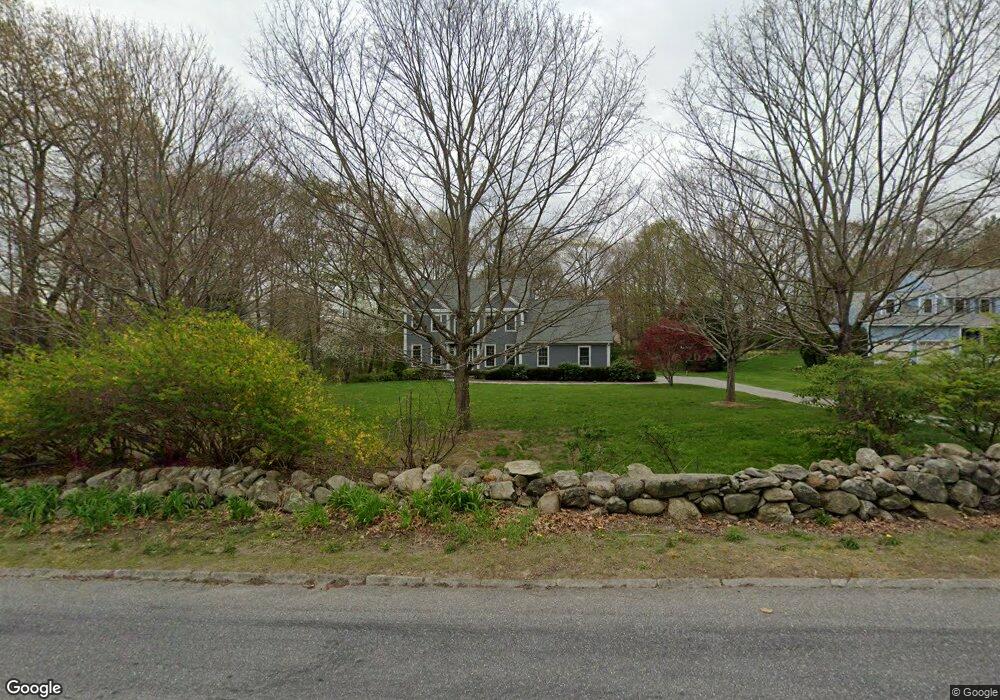
This home is located at 213 High St, Acton, MA 01720 and is currently estimated at $1,252,484, approximately $413 per square foot. 213 High St is a home located in Middlesex County with nearby schools including Acton-Boxborough Regional High School, Maynard Knowledge Beginnings, and The Imago School.
Ownership History
Date
Name
Owned For
Owner Type
Purchase Details
Closed on
May 7, 2018
Sold by
Lafrancis Judith S and Lafrancis Timothy P
Bought by
Judith S Lafrancis T
Current Estimated Value
Purchase Details
Closed on
Jun 30, 1997
Sold by
Higgins-Walden Rt and Higgins William M
Bought by
Lafrancis Timothy P and Lafrancis Judith S
Home Financials for this Owner
Home Financials are based on the most recent Mortgage that was taken out on this home.
Original Mortgage
$347,500
Interest Rate
7.81%
Mortgage Type
Purchase Money Mortgage
Create a Home Valuation Report for This Property
The Home Valuation Report is an in-depth analysis detailing your home's value as well as a comparison with similar homes in the area
Home Values in the Area
Average Home Value in this Area
Purchase History
| Date | Buyer | Sale Price | Title Company |
|---|---|---|---|
| Judith S Lafrancis T | -- | -- | |
| Lafrancis Timothy P | $390,000 | -- |
Source: Public Records
Mortgage History
| Date | Status | Borrower | Loan Amount |
|---|---|---|---|
| Previous Owner | Lafrancis Timothy P | $150,000 | |
| Previous Owner | Lafrancis Timothy P | $312,000 | |
| Previous Owner | Lafrancis Timothy P | $347,500 |
Source: Public Records
Tax History
| Year | Tax Paid | Tax Assessment Tax Assessment Total Assessment is a certain percentage of the fair market value that is determined by local assessors to be the total taxable value of land and additions on the property. | Land | Improvement |
|---|---|---|---|---|
| 2025 | $17,959 | $1,047,200 | $329,100 | $718,100 |
| 2024 | $17,263 | $1,035,600 | $329,100 | $706,500 |
| 2023 | $16,879 | $961,200 | $299,000 | $662,200 |
| 2022 | $15,920 | $818,500 | $259,700 | $558,800 |
| 2021 | $15,571 | $769,700 | $240,400 | $529,300 |
| 2020 | $14,909 | $774,900 | $240,400 | $534,500 |
| 2019 | $14,251 | $735,700 | $240,400 | $495,300 |
| 2018 | $13,956 | $720,100 | $240,400 | $479,700 |
| 2017 | $13,554 | $711,100 | $240,400 | $470,700 |
| 2016 | $13,528 | $703,500 | $240,400 | $463,100 |
| 2015 | $13,247 | $695,400 | $240,400 | $455,000 |
| 2014 | $12,664 | $651,100 | $240,400 | $410,700 |
Source: Public Records
Map
Nearby Homes
- 1 Carlton Dr
- 1 Drummer Rd Unit A5
- 130 Parker St Unit J2
- 70 Powder Mill Rd
- 68 Powder Mill Rd
- 96 Forest Ridge Rd Unit 96
- 63 Conant St
- 23 Deer Path Unit 5
- 36 Brown St
- 30 Brewster Ln
- 12 Brown St
- 1 Vanderbelt Rd
- 7 Hillcrest Dr
- 40 High St
- 70 River St
- 2 Wall Ct
- 22 Douglas Ave Unit 2
- 22 Douglas Ave Unit 1
- 5 Hayes St Unit 5
- 13 Arthur St Unit 15
Your Personal Tour Guide
Ask me questions while you tour the home.