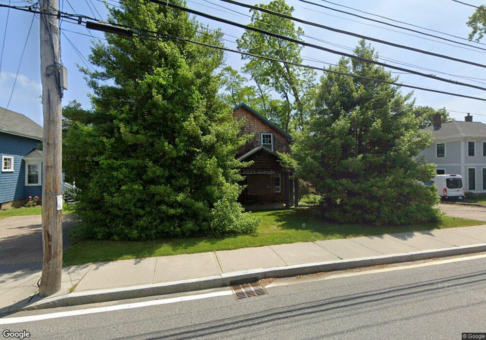
213 High St Wakefield, RI 02879
Estimated Value: $421,000 - $599,000
5
Beds
2
Baths
1,252
Sq Ft
$406/Sq Ft
Est. Value
About This Home
This home is located at 213 High St, Wakefield, RI 02879 and is currently estimated at $508,484, approximately $406 per square foot. 213 High St is a home located in Washington County with nearby schools including South Kingstown High School, Monsignor Matthew Clarke Catholic Regional School, and Bradley School-South.
Ownership History
Date
Name
Owned For
Owner Type
Purchase Details
Closed on
Mar 24, 2005
Sold by
Robbin James R
Bought by
Robbin James R and Robbin Denise
Current Estimated Value
Home Financials for this Owner
Home Financials are based on the most recent Mortgage that was taken out on this home.
Original Mortgage
$150,000
Interest Rate
5.56%
Purchase Details
Closed on
Aug 13, 1999
Sold by
Norwest Mtg Inc
Bought by
Federal Home Loan Mortgage Corporation
Create a Home Valuation Report for This Property
The Home Valuation Report is an in-depth analysis detailing your home's value as well as a comparison with similar homes in the area
Home Values in the Area
Average Home Value in this Area
Purchase History
| Date | Buyer | Sale Price | Title Company |
|---|---|---|---|
| Robbin James R | -- | None Available | |
| Federal Home Loan Mortgage Corporation | $92,000 | -- |
Source: Public Records
Mortgage History
| Date | Status | Borrower | Loan Amount |
|---|---|---|---|
| Open | Federal Home Loan Mortgage Corporation | $100,000 | |
| Closed | Robbin James R | $150,000 |
Source: Public Records
Tax History Compared to Growth
Tax History
| Year | Tax Paid | Tax Assessment Tax Assessment Total Assessment is a certain percentage of the fair market value that is determined by local assessors to be the total taxable value of land and additions on the property. | Land | Improvement |
|---|---|---|---|---|
| 2025 | $2,758 | $308,500 | $153,100 | $155,400 |
| 2024 | $2,855 | $258,400 | $117,700 | $140,700 |
| 2023 | $2,855 | $258,400 | $117,700 | $140,700 |
| 2022 | $2,829 | $258,400 | $117,700 | $140,700 |
| 2021 | $2,858 | $197,800 | $97,000 | $100,800 |
| 2020 | $2,858 | $197,800 | $97,000 | $100,800 |
| 2019 | $2,858 | $197,800 | $97,000 | $100,800 |
| 2018 | $2,360 | $150,500 | $64,600 | $85,900 |
| 2017 | $2,304 | $150,500 | $64,600 | $85,900 |
| 2016 | $2,271 | $150,500 | $64,600 | $85,900 |
| 2015 | $2,460 | $158,500 | $68,500 | $90,000 |
| 2014 | $2,454 | $158,500 | $68,500 | $90,000 |
Source: Public Records
Map
Nearby Homes
- 48 Stone Bridge Dr
- 156 River St Unit B
- 23 Rockland Dr
- 37 Columbia St
- 10 Hendricks St
- 128 Rodman St
- 98 Meadow Ave
- 39 Hazard Ave
- 40 Amos St
- 228 Rodman St
- 3 Larkin St
- 35 Whittier Dr
- 37 Whittier Dr
- 17 Celestial Heights Dr
- 45 Cherry Ln Unit C
- 5 Secluded Dr
- 70 Broad Rock Rd
- 128 North Rd
- 53 Rocky Brook Way
- 333 South Rd
- 221 High St
- 209 High St
- 214 High St
- 227 High St
- 201 High St
- 210 High St
- 228 High St
- 0 Confidential St Unit 71361167
- 0 Confidential St Unit 71361166
- 0 Confidential St Unit 647890
- 0 Michaela Ct
- 0 - L-A73 Chickadee Ln Unit 73 1139833
- 0 - Lota61 Chickadee Ln Unit 1 1137140
- 0 Michaela Ct Unit 1135339
- 23 8th St St E
- 0 Confidential St Unit 1102926
- 0 Michaela Ct Unit 1156653
- 226 High St
- 193 High St
- 231 High St