213 Independence Ave Dallas, GA 30132
Estimated Value: $457,876 - $546,000
3
Beds
3
Baths
2,040
Sq Ft
$249/Sq Ft
Est. Value
About This Home
This home is located at 213 Independence Ave, Dallas, GA 30132 and is currently estimated at $507,219, approximately $248 per square foot. 213 Independence Ave is a home located in Paulding County with nearby schools including Burnt Hickory Elementary School, Sammy Mcclure Sr. Middle School, and North Paulding High School.
Ownership History
Date
Name
Owned For
Owner Type
Purchase Details
Closed on
May 19, 2004
Sold by
Visionbuilt Homes Llc
Bought by
Lewis Richard M and Lewis Melissa
Current Estimated Value
Home Financials for this Owner
Home Financials are based on the most recent Mortgage that was taken out on this home.
Original Mortgage
$225,000
Outstanding Balance
$108,379
Interest Rate
5.89%
Mortgage Type
New Conventional
Estimated Equity
$398,840
Create a Home Valuation Report for This Property
The Home Valuation Report is an in-depth analysis detailing your home's value as well as a comparison with similar homes in the area
Home Values in the Area
Average Home Value in this Area
Purchase History
| Date | Buyer | Sale Price | Title Company |
|---|---|---|---|
| Lewis Richard M | $241,900 | -- |
Source: Public Records
Mortgage History
| Date | Status | Borrower | Loan Amount |
|---|---|---|---|
| Open | Lewis Richard M | $225,000 |
Source: Public Records
Tax History Compared to Growth
Tax History
| Year | Tax Paid | Tax Assessment Tax Assessment Total Assessment is a certain percentage of the fair market value that is determined by local assessors to be the total taxable value of land and additions on the property. | Land | Improvement |
|---|---|---|---|---|
| 2024 | $4,837 | $197,672 | $22,000 | $175,672 |
| 2023 | $5,006 | $194,540 | $22,000 | $172,540 |
| 2022 | $4,078 | $158,308 | $22,000 | $136,308 |
| 2021 | $3,850 | $134,360 | $22,000 | $112,360 |
| 2020 | $3,677 | $125,652 | $22,000 | $103,652 |
| 2019 | $3,493 | $117,800 | $22,000 | $95,800 |
| 2018 | $3,265 | $110,240 | $22,000 | $88,240 |
| 2017 | $3,256 | $108,440 | $22,000 | $86,440 |
| 2016 | $3,103 | $104,480 | $16,000 | $88,480 |
| 2015 | $3,098 | $102,520 | $15,200 | $87,320 |
| 2014 | $2,756 | $89,160 | $15,200 | $73,960 |
| 2013 | -- | $72,560 | $15,200 | $57,360 |
Source: Public Records
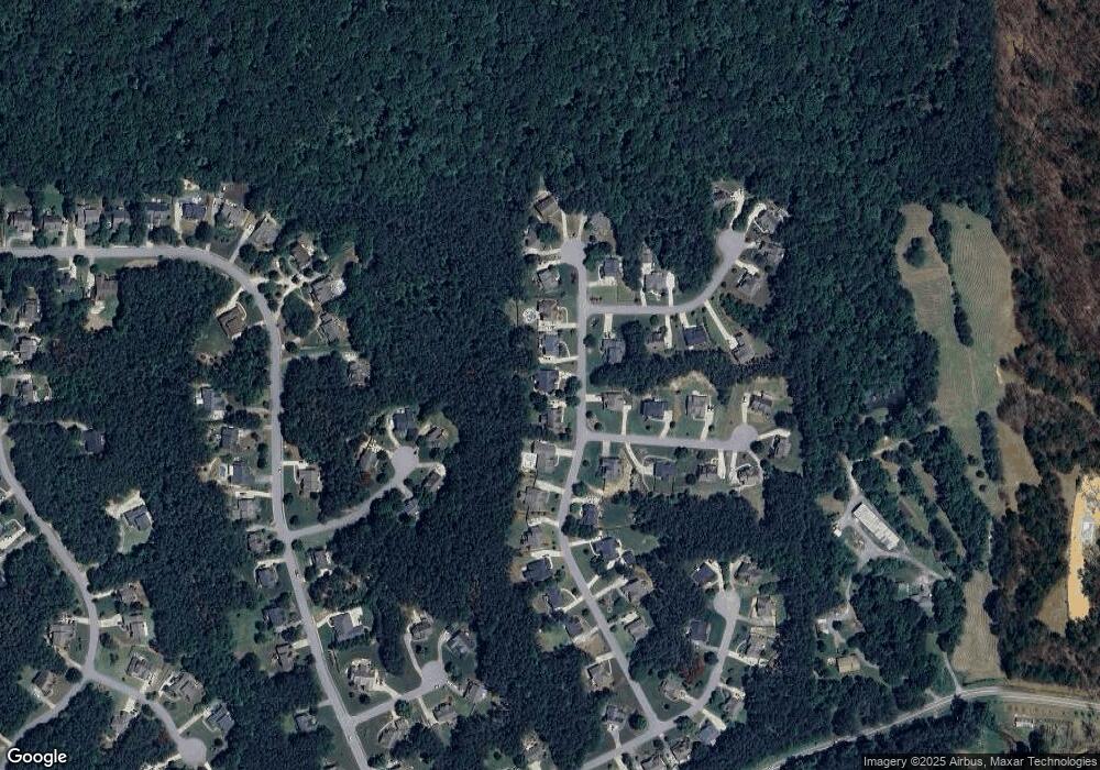
Map
Nearby Homes
- 205 Washington Blvd
- 2000 Dabbs Bridge Rd
- 5375 Crystal Mountain Rd SE
- 3 Senators Ridge Dr
- 0 Constitution Pointe
- 000 Constitution Pointe
- 117 Constitution Pointe
- 261 Potomac Dr
- 108 Overlook Trail
- 110 Overlook Trail
- 2943 Dabbs Bridge Rd
- 287 Columbia Cove
- 762 Potomac Dr
- 794 Potomac Dr
- 455 Bates Rd
- 528 Pumpkinvine Rd
- 178 Pinnacle Point Ct
- 193 Independence Ave
- 233 Independence Ave
- 200 Independence Ave
- 0 Independence Ave Unit 8312522
- 0 Independence Ave Unit 7264448
- 0 Independence Ave Unit 8841529
- 0 Independence Ave Unit 3220141
- 0 Independence Ave Unit 7172375
- 0 Independence Ave Unit 7218276
- 0 Independence Ave Unit 7400735
- 0 Independence Ave Unit 7419014
- 0 Independence Ave Unit 7591459
- 0 Independence Ave Unit 7636103
- 0 Independence Ave Unit 7633156
- 0 Independence Ave Unit 8089957
- 0 Independence Ave Unit 8102784
- 0 Independence Ave Unit 8144123
- 0 Memorial Ct
- 0 Memorial Ct Unit 7501133
- 0 Memorial Ct Unit 7450169