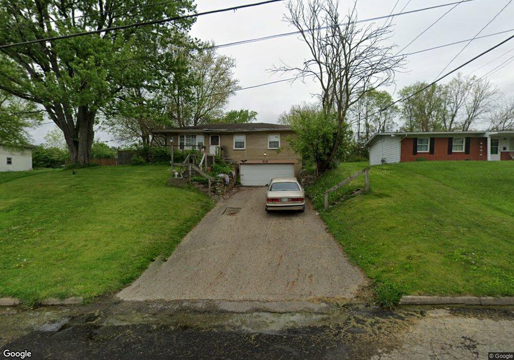
213 James St Mount Vernon, OH 43050
Estimated Value: $186,895 - $217,000
3
Beds
1
Bath
960
Sq Ft
$214/Sq Ft
Est. Value
About This Home
This home is located at 213 James St, Mount Vernon, OH 43050 and is currently estimated at $205,724, approximately $214 per square foot. 213 James St is a home located in Knox County with nearby schools including Mount Vernon High School, St. Vincent de Paul School, and Ruscel Montessori Childrens House.
Ownership History
Date
Name
Owned For
Owner Type
Purchase Details
Closed on
Jan 3, 2020
Sold by
Starmer Janelle N
Bought by
Starmer Kelvin W and Starmer Janelle N
Current Estimated Value
Home Financials for this Owner
Home Financials are based on the most recent Mortgage that was taken out on this home.
Original Mortgage
$57,000
Outstanding Balance
$50,362
Interest Rate
3.6%
Mortgage Type
Stand Alone Refi Refinance Of Original Loan
Estimated Equity
$155,362
Purchase Details
Closed on
Apr 18, 2008
Sold by
Kozlow Philip G
Bought by
Kozlow Janelle N
Purchase Details
Closed on
Jun 24, 2003
Sold by
Kozlow Philip G
Bought by
Kozlow Philip G and Kozlow Janelle
Purchase Details
Closed on
Jul 6, 1992
Sold by
Jordan Karen S
Bought by
Kozlow Philip G
Create a Home Valuation Report for This Property
The Home Valuation Report is an in-depth analysis detailing your home's value as well as a comparison with similar homes in the area
Home Values in the Area
Average Home Value in this Area
Purchase History
| Date | Buyer | Sale Price | Title Company |
|---|---|---|---|
| Starmer Kelvin W | -- | None Available | |
| Starmer Kelvin W | -- | None Available | |
| Kozlow Janelle N | -- | None Available | |
| Kozlow Philip G | -- | -- | |
| Kozlow Philip G | $37,000 | -- |
Source: Public Records
Mortgage History
| Date | Status | Borrower | Loan Amount |
|---|---|---|---|
| Open | Starmer Kelvin W | $57,000 | |
| Closed | Starmer Kelvin W | $57,000 |
Source: Public Records
Tax History Compared to Growth
Tax History
| Year | Tax Paid | Tax Assessment Tax Assessment Total Assessment is a certain percentage of the fair market value that is determined by local assessors to be the total taxable value of land and additions on the property. | Land | Improvement |
|---|---|---|---|---|
| 2024 | $1,591 | $41,230 | $8,710 | $32,520 |
| 2023 | $1,591 | $41,230 | $8,710 | $32,520 |
| 2022 | $1,260 | $29,670 | $6,270 | $23,400 |
| 2021 | $1,260 | $29,670 | $6,270 | $23,400 |
| 2020 | $1,227 | $29,670 | $6,270 | $23,400 |
| 2019 | $1,235 | $27,830 | $6,770 | $21,060 |
| 2018 | $1,235 | $27,830 | $6,770 | $21,060 |
| 2017 | $1,213 | $27,830 | $6,770 | $21,060 |
| 2016 | $1,125 | $25,770 | $6,270 | $19,500 |
| 2015 | $1,130 | $25,770 | $6,270 | $19,500 |
| 2014 | $1,136 | $25,770 | $6,270 | $19,500 |
| 2013 | $1,231 | $26,560 | $5,890 | $20,670 |
Source: Public Records
Map
Nearby Homes
- 12 Northview Dr
- 9 Rose Ave
- 800 N Sandusky St
- 109 Northridge Dr
- 107 Northridge Dr
- 769 Upper Fredericktown Rd
- 300 1/2 Calhoun St
- 200 Mansfield Rd
- 13 Mansfield Ave
- 812 N Gay St
- 0 W Pleasant St
- 10 Yoakam Dr
- 7 Elizabeth St
- 00 Banning Rd
- 0 Banning Rd Unit 9067916
- 0 Banning Rd Unit 225030037
- 0 Banning Rd Unit 20250568
- 604 N Gay St
- 404 W Walnut St