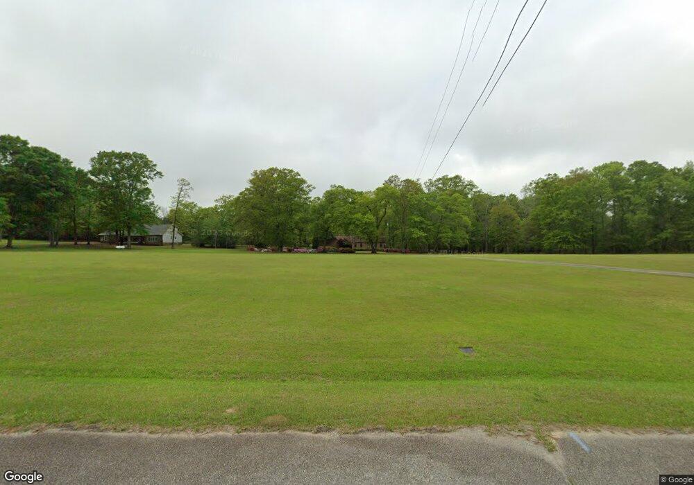
213 Keith Rd Bonaire, GA 31005
Estimated Value: $322,000 - $444,000
3
Beds
3
Baths
2,744
Sq Ft
$137/Sq Ft
Est. Value
About This Home
This home is located at 213 Keith Rd, Bonaire, GA 31005 and is currently estimated at $377,191, approximately $137 per square foot. 213 Keith Rd is a home located in Houston County with nearby schools including Hilltop Elementary School, Bonaire Middle School, and Veterans High School.
Ownership History
Date
Name
Owned For
Owner Type
Purchase Details
Closed on
Jan 13, 2000
Sold by
Harridge Harridge R and Harridge Linda H
Bought by
Causey John M
Current Estimated Value
Purchase Details
Closed on
Dec 21, 1989
Sold by
Harridge R Ross
Bought by
Harridge Harridge R and Harridge Linda H
Purchase Details
Closed on
Mar 20, 1974
Sold by
Allied Asphalt Company
Bought by
Harridge R Ross
Purchase Details
Closed on
Jan 1, 1971
Sold by
Coffey Herman D
Bought by
Allied Asphalt Company
Create a Home Valuation Report for This Property
The Home Valuation Report is an in-depth analysis detailing your home's value as well as a comparison with similar homes in the area
Home Values in the Area
Average Home Value in this Area
Purchase History
| Date | Buyer | Sale Price | Title Company |
|---|---|---|---|
| Causey John M | $165,000 | -- | |
| Harridge Harridge R | -- | -- | |
| Harridge R Ross | -- | -- | |
| Allied Asphalt Company | -- | -- |
Source: Public Records
Tax History Compared to Growth
Tax History
| Year | Tax Paid | Tax Assessment Tax Assessment Total Assessment is a certain percentage of the fair market value that is determined by local assessors to be the total taxable value of land and additions on the property. | Land | Improvement |
|---|---|---|---|---|
| 2024 | $2,916 | $123,920 | $24,200 | $99,720 |
| 2023 | $2,548 | $107,440 | $24,200 | $83,240 |
| 2022 | $2,505 | $105,640 | $24,200 | $81,440 |
| 2021 | $2,365 | $99,360 | $24,200 | $75,160 |
| 2020 | $2,207 | $92,400 | $24,200 | $68,200 |
| 2019 | $2,207 | $92,400 | $24,200 | $68,200 |
| 2018 | $2,207 | $92,400 | $24,200 | $68,200 |
| 2017 | $2,209 | $92,400 | $22,000 | $70,400 |
| 2016 | $2,212 | $92,400 | $22,000 | $70,400 |
| 2015 | $2,155 | $89,880 | $22,000 | $67,880 |
| 2014 | -- | $89,880 | $22,000 | $67,880 |
| 2013 | -- | $89,880 | $22,000 | $67,880 |
Source: Public Records
Map
Nearby Homes
- 125 Alton Tucker Sr Blvd
- 129 Alton Tucker Sr Blvd
- 131 Alton Tucker Sr Blvd
- 123 Alton Tucker Sr Blvd
- 121 Alton Tucker Sr Blvd
- 100 Alton Tucker Sr Blvd
- 108 Alton Tucker Sr Blvd
- 108 Oak Branch Ln
- 104 Robin Dr
- 105 Oak Branch Ln
- 102 Oak Branch Ln
- 210 Garnet Dr
- 124 Alton Tucker Sr Blvd
- 105 Sasser Dr
- 304 Garnet Dr
- 306 Garnet Dr
- 309 Garnet Dr
- 303 Garnet Dr
- 307 Garnet Dr
- 101 Chambers Creek Cir
- 211 Keith Rd
- 209 Keith Rd
- 203 Keith Rd
- 205 Willingham Dr
- 209 Willingham Dr
- 219 Willingham Dr
- 204 Keith Rd
- 201 Willingham Dr
- 217 Willingham Dr
- 115 Willingham Dr
- 218 Keith Rd
- 0 Willingham Dr Unit 8048213
- 0 Willingham Dr Unit 7582532
- 0 Willingham Dr Unit 7274362
- 0 Willingham Dr Unit 7206470
- 0 Willingham Dr Unit 7180386
- 0 Willingham Dr
- 200 Willingham Dr
- 221 Willingham Dr
- 214 Willingham Dr
