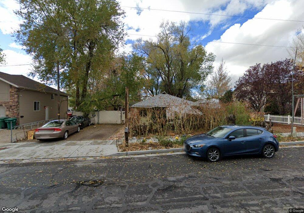
213 King St Layton, UT 84041
Estimated Value: $408,000 - $428,000
3
Beds
2
Baths
1,204
Sq Ft
$346/Sq Ft
Est. Value
About This Home
This home is located at 213 King St, Layton, UT 84041 and is currently estimated at $416,276, approximately $345 per square foot. 213 King St is a home located in Davis County with nearby schools including Layton Elementary School, Fairfield Junior High School, and Layton High School.
Ownership History
Date
Name
Owned For
Owner Type
Purchase Details
Closed on
Oct 15, 2024
Sold by
Catamount Properties 2018 Llc
Bought by
Snyder Weston William
Current Estimated Value
Home Financials for this Owner
Home Financials are based on the most recent Mortgage that was taken out on this home.
Original Mortgage
$390,328
Outstanding Balance
$385,840
Interest Rate
6.35%
Mortgage Type
New Conventional
Estimated Equity
$30,436
Purchase Details
Closed on
Feb 14, 2024
Sold by
Stamp Emmett Andrew
Bought by
Catamount Properties 2018 Llc
Purchase Details
Closed on
Sep 21, 2006
Sold by
Stamp Emmett Andrew
Bought by
Stamp Emmett Andrew
Home Financials for this Owner
Home Financials are based on the most recent Mortgage that was taken out on this home.
Original Mortgage
$64,500
Interest Rate
8.15%
Mortgage Type
Stand Alone Refi Refinance Of Original Loan
Create a Home Valuation Report for This Property
The Home Valuation Report is an in-depth analysis detailing your home's value as well as a comparison with similar homes in the area
Home Values in the Area
Average Home Value in this Area
Purchase History
| Date | Buyer | Sale Price | Title Company |
|---|---|---|---|
| Snyder Weston William | -- | Inwest Title | |
| Catamount Properties 2018 Llc | -- | Old Republic Title | |
| Stamp Emmett Andrew | -- | First American Title |
Source: Public Records
Mortgage History
| Date | Status | Borrower | Loan Amount |
|---|---|---|---|
| Open | Snyder Weston William | $390,328 | |
| Previous Owner | Stamp Emmett Andrew | $64,500 |
Source: Public Records
Tax History
| Year | Tax Paid | Tax Assessment Tax Assessment Total Assessment is a certain percentage of the fair market value that is determined by local assessors to be the total taxable value of land and additions on the property. | Land | Improvement |
|---|---|---|---|---|
| 2025 | $1,991 | $209,000 | $123,202 | $85,798 |
| 2024 | $1,774 | $187,549 | $133,623 | $53,926 |
| 2023 | $1,712 | $319,000 | $137,602 | $181,398 |
| 2022 | $1,837 | $185,900 | $82,429 | $103,471 |
| 2021 | $1,100 | $245,000 | $123,644 | $121,356 |
Source: Public Records
Map
Nearby Homes
- 630 W 100 N
- 270 N 630 W
- 771 W Gentile St
- 418 W Gentile St
- 526 King St Unit 2
- 933 W Gentile St
- 361 W 50 N
- 24 Grover St
- 355 W Gentile St
- 339 W 25 N Unit 6
- 383 S 950 W
- 1382 W 250 N
- 1113 W Angel Hill Ct
- 34 E 525 N
- 1677 N 1600 W Unit 134
- 22 E 525 N
- 298 Amber Ln
- 316 Amber Ln
- 189 S Main St Unit 76
- 189 S Main St Unit 21
Your Personal Tour Guide
Ask me questions while you tour the home.