213 Laurel Ave Maplewood, NJ 07040
Estimated Value: $637,330 - $770,000
--
Bed
--
Bath
1,848
Sq Ft
$379/Sq Ft
Est. Value
About This Home
This home is located at 213 Laurel Ave, Maplewood, NJ 07040 and is currently estimated at $699,583, approximately $378 per square foot. 213 Laurel Ave is a home located in Essex County with nearby schools including Clinton Elementary School, South Orange Middle School, and Columbia Senior High School.
Ownership History
Date
Name
Owned For
Owner Type
Purchase Details
Closed on
Nov 15, 2001
Current Estimated Value
Purchase Details
Closed on
Apr 12, 2001
Sold by
David Neafor
Bought by
Hughes Ibrahim S
Home Financials for this Owner
Home Financials are based on the most recent Mortgage that was taken out on this home.
Original Mortgage
$158,400
Interest Rate
7.21%
Purchase Details
Closed on
Jul 16, 1999
Sold by
Macbeth Susan
Bought by
Niveafor David
Home Financials for this Owner
Home Financials are based on the most recent Mortgage that was taken out on this home.
Original Mortgage
$123,750
Interest Rate
7.86%
Create a Home Valuation Report for This Property
The Home Valuation Report is an in-depth analysis detailing your home's value as well as a comparison with similar homes in the area
Home Values in the Area
Average Home Value in this Area
Purchase History
| Date | Buyer | Sale Price | Title Company |
|---|---|---|---|
| -- | -- | -- | |
| Hughes Ibrahim S | $176,000 | -- | |
| Niveafor David | $137,500 | -- |
Source: Public Records
Mortgage History
| Date | Status | Borrower | Loan Amount |
|---|---|---|---|
| Previous Owner | Hughes Ibrahim S | $158,400 | |
| Previous Owner | Niveafor David | $123,750 |
Source: Public Records
Tax History Compared to Growth
Tax History
| Year | Tax Paid | Tax Assessment Tax Assessment Total Assessment is a certain percentage of the fair market value that is determined by local assessors to be the total taxable value of land and additions on the property. | Land | Improvement |
|---|---|---|---|---|
| 2025 | $10,996 | $515,100 | $175,400 | $339,700 |
| 2024 | $10,996 | $515,100 | $175,400 | $339,700 |
| 2022 | $10,723 | $304,100 | $171,800 | $132,300 |
| 2021 | $10,397 | $304,100 | $171,800 | $132,300 |
| 2020 | $10,102 | $304,100 | $171,800 | $132,300 |
| 2019 | $9,810 | $304,100 | $171,800 | $132,300 |
| 2018 | $9,558 | $304,100 | $171,800 | $132,300 |
| 2017 | $9,272 | $304,100 | $171,800 | $132,300 |
| 2016 | $8,623 | $234,000 | $103,600 | $130,400 |
| 2015 | $9,367 | $260,200 | $103,600 | $156,600 |
| 2014 | $9,169 | $260,200 | $103,600 | $156,600 |
Source: Public Records
Map
Nearby Homes
- 91 Headley Terrace
- 163 Laurel Ave
- 76-78 Woodside Rd
- 190 Elmwood Ave
- 23 Tiffany Place
- 40 Clinton Terrace
- 124 Laurel Ave
- 10 Sanford Terrace
- 19 Elmwood Terrace
- 1012 Sanford Ave
- 326 Eastern Pkwy Unit 328
- 326-328 Eastern Pkwy
- 24 Ridgewood Ave
- 213 Kerrigan Blvd
- 118 Boyden Ave
- 307 Eastern Pkwy Unit 309
- 36A Meadowbrook Place
- 1400 Springfield Ave
- 58 Chapman Place
- 1373 Clinton Ave
- 215 Laurel Ave
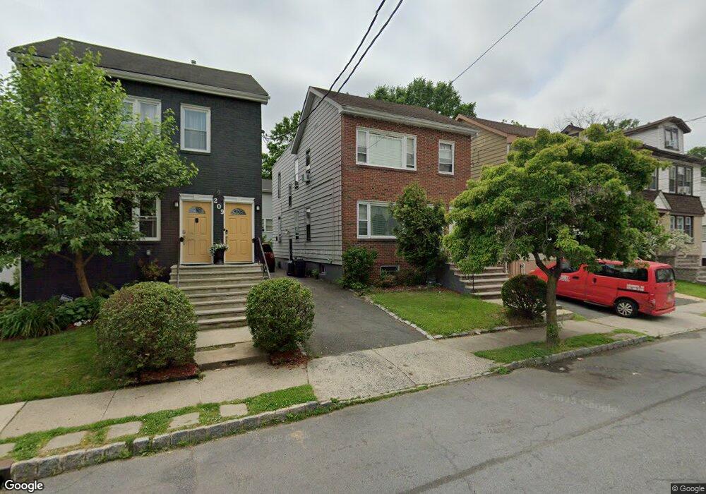
- 209 Laurel Ave
- 217 Laurel Ave
- 101 Franklin Terrace
- 219 Laurel Ave
- 203 Laurel Ave
- 92 Tiffany Place
- 102B Franklin Terrace
- 221 Laurel Ave
- 214 Laurel Ave
- 201 Laurel Ave
- 216 Laurel Ave
- 88 Tiffany Place
- 94 Tiffany Place
- 84 Tiffany Place
- 84 Tiffany Place Unit 4
- 98 B Franklin Terr C13 2
- 208 Laurel Ave
- 218 Laurel Ave
- 102A Franklin Terrace