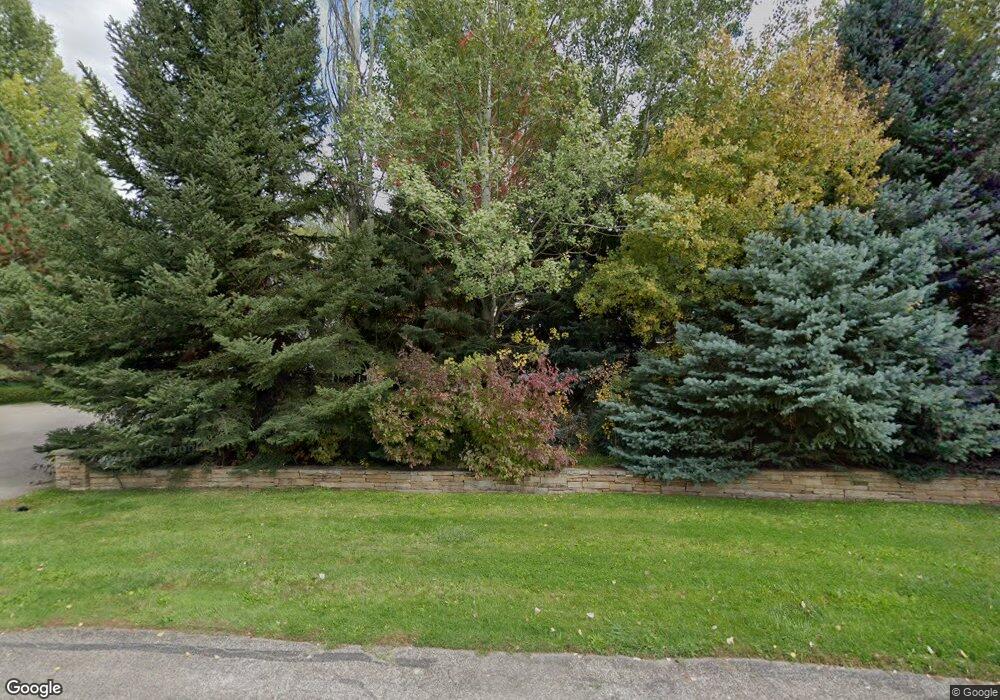
213 Lewis Ln Basalt, CO 81621
Estimated Value: $3,012,000 - $4,958,000
5
Beds
5
Baths
5,976
Sq Ft
$708/Sq Ft
Est. Value
About This Home
This home is located at 213 Lewis Ln, Basalt, CO 81621 and is currently estimated at $4,232,810, approximately $708 per square foot. 213 Lewis Ln is a home located in Eagle County with nearby schools including Cornerstone Classical School and Waldorf School on the Roaring Fork.
Ownership History
Date
Name
Owned For
Owner Type
Purchase Details
Closed on
Feb 3, 1997
Sold by
Jordan Timothy C
Bought by
Coulter Rea William and Coulter Elizabeth Ann
Current Estimated Value
Home Financials for this Owner
Home Financials are based on the most recent Mortgage that was taken out on this home.
Original Mortgage
$320,000
Outstanding Balance
$36,437
Interest Rate
7.64%
Estimated Equity
$4,196,373
Purchase Details
Closed on
Oct 29, 1993
Create a Home Valuation Report for This Property
The Home Valuation Report is an in-depth analysis detailing your home's value as well as a comparison with similar homes in the area
Home Values in the Area
Average Home Value in this Area
Purchase History
| Date | Buyer | Sale Price | Title Company |
|---|---|---|---|
| Coulter Rea William | $400,000 | -- | |
| -- | $289,000 | -- |
Source: Public Records
Mortgage History
| Date | Status | Borrower | Loan Amount |
|---|---|---|---|
| Open | Coulter Rea William | $320,000 |
Source: Public Records
Tax History Compared to Growth
Tax History
| Year | Tax Paid | Tax Assessment Tax Assessment Total Assessment is a certain percentage of the fair market value that is determined by local assessors to be the total taxable value of land and additions on the property. | Land | Improvement |
|---|---|---|---|---|
| 2024 | $18,448 | $247,140 | $39,610 | $207,530 |
| 2023 | $18,448 | $247,140 | $39,610 | $207,530 |
| 2022 | $11,060 | $137,110 | $20,160 | $116,950 |
| 2021 | $11,364 | $141,050 | $20,740 | $120,310 |
| 2020 | $8,533 | $111,140 | $20,230 | $90,910 |
| 2019 | $8,612 | $111,140 | $20,230 | $90,910 |
| 2018 | $9,058 | $115,780 | $20,160 | $95,620 |
| 2017 | $8,577 | $115,780 | $20,160 | $95,620 |
| 2016 | $6,729 | $89,240 | $22,290 | $66,950 |
| 2015 | -- | $89,240 | $22,290 | $66,950 |
| 2014 | $5,290 | $73,790 | $17,510 | $56,280 |
Source: Public Records
Map
Nearby Homes
- 128 Hopi
- 231 Robinson St Unit R226
- 231 Robinson St Unit R340
- 212 Juniper Ct
- 201 Tree Farm Dr Unit The Creekside
- 201 Tree Farm Dr Unit All Parcels
- 201 Tree Farm Dr Unit The Lakeview
- 545 Evans Ct
- 432 Meadow Ct
- 540 Evans Ct
- 219 Juniper Ct
- 541 Evans Ct
- 612 Evans Ct
- TBD Tree Farm Dr Unit A4 - 201
- TBD Tree Farm Dr Unit A1-302
- TBD Tree Farm Dr Unit A2 - 301
- TBD Tree Farm Dr Unit A4 - 202
- TBD Tree Farm Dr Unit A1-202
- TBD Tree Farm Dr Unit The Edge at Tree Far
- TBD Tree Farm Dr Unit A1-203