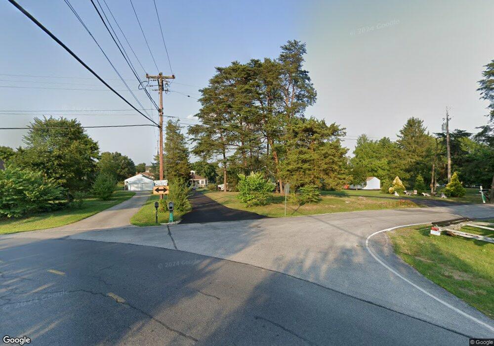
213 Longstreet Dr Unit 213 Gettysburg, PA 17325
Estimated Value: $545,384 - $621,000
3
Beds
2
Baths
1,561
Sq Ft
$383/Sq Ft
Est. Value
About This Home
This home is located at 213 Longstreet Dr Unit 213, Gettysburg, PA 17325 and is currently estimated at $597,096, approximately $382 per square foot. 213 Longstreet Dr Unit 213 is a home located in Adams County with nearby schools including Gettysburg Area High School.
Ownership History
Date
Name
Owned For
Owner Type
Purchase Details
Closed on
Oct 29, 2020
Sold by
The Kerns Williams Trust
Bought by
Minutoli Gianni and Minutoli Christine R
Current Estimated Value
Home Financials for this Owner
Home Financials are based on the most recent Mortgage that was taken out on this home.
Original Mortgage
$371,250
Outstanding Balance
$330,360
Interest Rate
2.8%
Mortgage Type
New Conventional
Estimated Equity
$266,736
Purchase Details
Closed on
Feb 7, 2018
Sold by
Kerns Jean N
Bought by
Kerns William T and Kerns Tr Jean N
Purchase Details
Closed on
Sep 16, 2002
Bought by
Kerns Jean N
Create a Home Valuation Report for This Property
The Home Valuation Report is an in-depth analysis detailing your home's value as well as a comparison with similar homes in the area
Home Values in the Area
Average Home Value in this Area
Purchase History
| Date | Buyer | Sale Price | Title Company |
|---|---|---|---|
| Minutoli Gianni | $412,500 | None Available | |
| Kerns William T | -- | -- | |
| Kerns Jean N | $235,000 | -- |
Source: Public Records
Mortgage History
| Date | Status | Borrower | Loan Amount |
|---|---|---|---|
| Open | Minutoli Gianni | $371,250 |
Source: Public Records
Tax History Compared to Growth
Tax History
| Year | Tax Paid | Tax Assessment Tax Assessment Total Assessment is a certain percentage of the fair market value that is determined by local assessors to be the total taxable value of land and additions on the property. | Land | Improvement |
|---|---|---|---|---|
| 2025 | $7,768 | $470,500 | $124,000 | $346,500 |
| 2024 | $7,386 | $470,500 | $124,000 | $346,500 |
| 2023 | $7,386 | $470,500 | $124,000 | $346,500 |
| 2022 | $7,314 | $470,500 | $124,000 | $346,500 |
| 2021 | $7,226 | $470,500 | $124,000 | $346,500 |
| 2020 | $7,828 | $470,600 | $124,100 | $346,500 |
| 2019 | $8,722 | $535,900 | $124,100 | $411,800 |
| 2018 | $8,122 | $535,900 | $124,100 | $411,800 |
| 2017 | $7,836 | $535,900 | $124,100 | $411,800 |
| 2016 | -- | $535,900 | $124,100 | $411,800 |
| 2015 | -- | $535,900 | $124,100 | $411,800 |
| 2014 | -- | $535,900 | $124,100 | $411,800 |
Source: Public Records
Map
Nearby Homes
- 198 Longstreet Dr Unit 198
- 279 Longstreet Dr Unit 279
- 729 Heritage Dr Unit 729
- 56 Heritage Dr Unit 56
- 494 Heritage Dr Unit 494
- 824 Hancock Dr Unit 824
- 795 Burnside Dr Unit 795
- 549 Grant Dr Unit 549
- 49 Clapsaddle Rd
- 141 Grand Overlook Dr
- 27 Quiet Creek Dr
- 395 Quiet Creek Dr
- 40 Hospital Rd
- 1064 Baltimore Pike
- 230 W Crest View Ln
- 703 York Rd
- 1685 LOT #3 Baltimore Pike
- 1060 York Rd
- 75 Cavalry Field Rd
- 1820 York Rd
- 213 Longstreet Dr
- 212 Longstreet Dr Unit 212
- 214 Heritage Dr Unit 214
- 211 Longstreet Dr
- 216 Heritage Dr Unit 216
- 210 Longstreet Dr Unit 210
- 184 Longstreet Dr
- 217 Heritage Dr Unit 217
- 209 Longstreet Dr Unit 209
- 208 Longstreet Dr Unit 208
- 218 Heritage Dr Unit 218
- 257 Heritage Dr Unit 257
- 258 Longstreet Dr Unit 258
- 259 Longstreet Dr Unit 259
- 229 Heritage Dr
- 207 Longstreet Dr Unit 207
- 227 Heritage Dr Unit 227
- 260 Longstreet Dr Unit 260
- 219 Heritage Dr
- 228 Heritage Dr Unit 228
