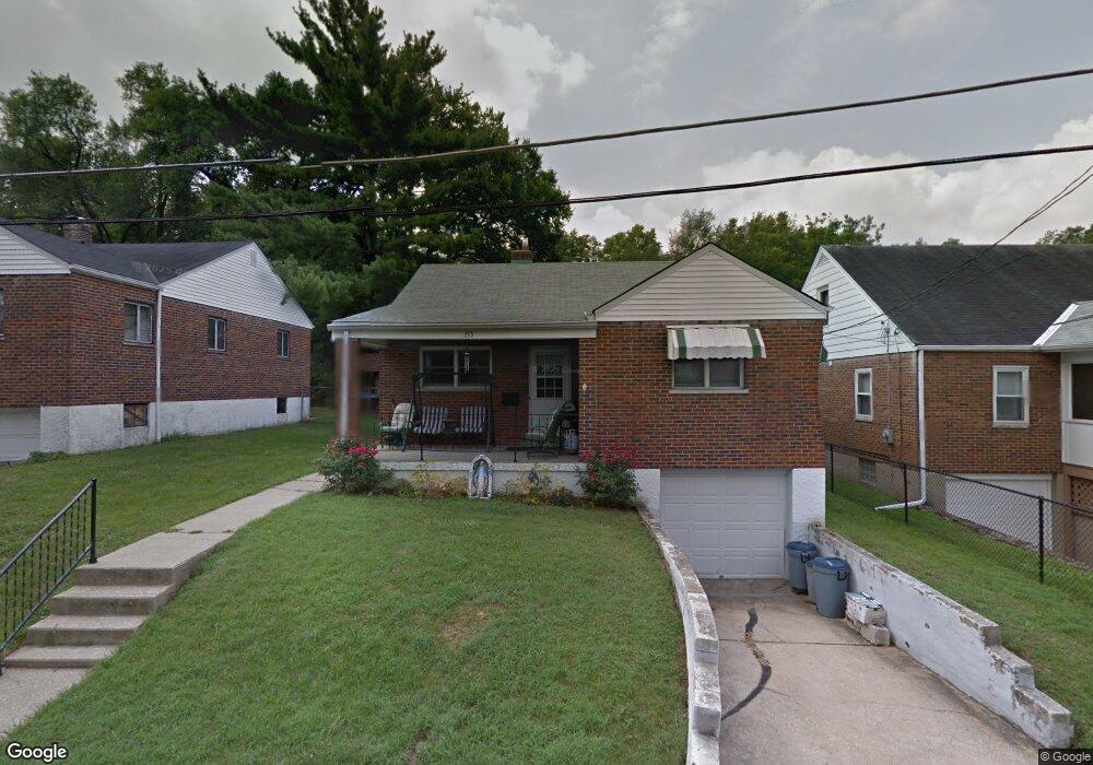
213 Marion Ave Cincinnati, OH 45215
Roselawn NeighborhoodEstimated Value: $159,000 - $179,000
3
Beds
1
Bath
1,064
Sq Ft
$157/Sq Ft
Est. Value
About This Home
This home is located at 213 Marion Ave, Cincinnati, OH 45215 and is currently estimated at $167,037, approximately $156 per square foot. 213 Marion Ave is a home located in Hamilton County with nearby schools including Reading Community High School and Saints Peter and Paul Academy.
Ownership History
Date
Name
Owned For
Owner Type
Purchase Details
Closed on
Aug 2, 2023
Sold by
Boehl Michelle and Boehl Herein
Bought by
Boehl Michelle and Boehl Donald J
Current Estimated Value
Home Financials for this Owner
Home Financials are based on the most recent Mortgage that was taken out on this home.
Original Mortgage
$90,354
Outstanding Balance
$87,241
Interest Rate
6.78%
Mortgage Type
FHA
Estimated Equity
$79,796
Purchase Details
Closed on
May 29, 2002
Sold by
Estate Of James T Drahman
Bought by
Drahman Eileen
Create a Home Valuation Report for This Property
The Home Valuation Report is an in-depth analysis detailing your home's value as well as a comparison with similar homes in the area
Home Values in the Area
Average Home Value in this Area
Purchase History
| Date | Buyer | Sale Price | Title Company |
|---|---|---|---|
| Boehl Michelle | -- | Vantage Point Title | |
| Drahman Eileen | -- | -- |
Source: Public Records
Mortgage History
| Date | Status | Borrower | Loan Amount |
|---|---|---|---|
| Open | Boehl Michelle | $90,354 |
Source: Public Records
Tax History Compared to Growth
Tax History
| Year | Tax Paid | Tax Assessment Tax Assessment Total Assessment is a certain percentage of the fair market value that is determined by local assessors to be the total taxable value of land and additions on the property. | Land | Improvement |
|---|---|---|---|---|
| 2024 | $1,644 | $31,763 | $7,462 | $24,301 |
| 2023 | $1,669 | $31,763 | $7,462 | $24,301 |
| 2022 | $1,680 | $24,773 | $5,999 | $18,774 |
| 2021 | $1,402 | $24,773 | $5,999 | $18,774 |
| 2020 | $1,417 | $24,773 | $5,999 | $18,774 |
| 2019 | $1,373 | $21,925 | $5,310 | $16,615 |
| 2018 | $1,375 | $21,925 | $5,310 | $16,615 |
| 2017 | $1,296 | $21,925 | $5,310 | $16,615 |
| 2016 | $1,600 | $27,161 | $5,625 | $21,536 |
| 2015 | $1,615 | $27,161 | $5,625 | $21,536 |
| 2014 | $1,413 | $27,161 | $5,625 | $21,536 |
| 2013 | $1,432 | $27,717 | $5,740 | $21,977 |
Source: Public Records
Map
Nearby Homes
- 645 Blanche Ave
- 20 Clark Rd
- 505 Olden Ave
- 230 Carthage Ave
- 423 Arlington Ave
- 415 Arlington Ave
- 410 Rolef Ave
- 2281 E Galbraith Rd
- 312 Arlington Ave
- 7901 Glenorchard Dr
- 334 Williams St
- 653 Harmes Ave
- 7871 Glenorchard Dr
- 7866 Greenland Place
- 8442 Anthony Wayne Ave
- 327 Cooper St
- 8410 Curzon Ave
- 1604 Crest Hill Ave
- 7755 Newbedford Ave
- 797 4th St