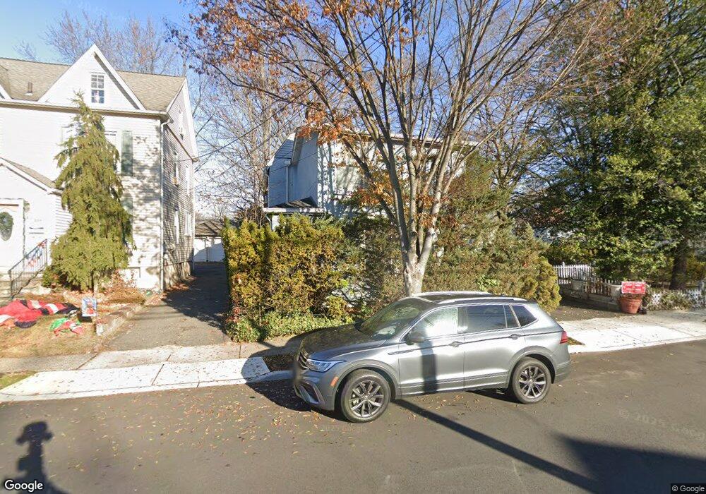
213 Merritt Ave Bergenfield, NJ 07621
Estimated Value: $621,000
--
Bed
--
Bath
1,223
Sq Ft
$508/Sq Ft
Est. Value
About This Home
This home is located at 213 Merritt Ave, Bergenfield, NJ 07621 and is currently estimated at $621,000, approximately $507 per square foot. 213 Merritt Ave is a home located in Bergen County with nearby schools including Bergenfield High School.
Ownership History
Date
Name
Owned For
Owner Type
Purchase Details
Closed on
Jun 8, 2000
Sold by
Infurna Nat
Bought by
Clark Michael W
Current Estimated Value
Home Financials for this Owner
Home Financials are based on the most recent Mortgage that was taken out on this home.
Original Mortgage
$76,000
Interest Rate
6.89%
Purchase Details
Closed on
Dec 19, 1996
Sold by
Doherty Martin E and Doherty Lynn M
Bought by
Infurna Nat
Home Financials for this Owner
Home Financials are based on the most recent Mortgage that was taken out on this home.
Original Mortgage
$60,000
Interest Rate
7.55%
Create a Home Valuation Report for This Property
The Home Valuation Report is an in-depth analysis detailing your home's value as well as a comparison with similar homes in the area
Home Values in the Area
Average Home Value in this Area
Purchase History
| Date | Buyer | Sale Price | Title Company |
|---|---|---|---|
| Clark Michael W | $156,000 | -- | |
| Infurna Nat | $110,000 | -- |
Source: Public Records
Mortgage History
| Date | Status | Borrower | Loan Amount |
|---|---|---|---|
| Previous Owner | Clark Michael W | $76,000 | |
| Previous Owner | Infurna Nat | $60,000 |
Source: Public Records
Tax History Compared to Growth
Tax History
| Year | Tax Paid | Tax Assessment Tax Assessment Total Assessment is a certain percentage of the fair market value that is determined by local assessors to be the total taxable value of land and additions on the property. | Land | Improvement |
|---|---|---|---|---|
| 2025 | $10,119 | $286,900 | $191,500 | $95,400 |
| 2024 | $9,783 | $286,900 | $191,500 | $95,400 |
| 2023 | $9,631 | $286,900 | $191,500 | $95,400 |
| 2022 | $9,631 | $286,900 | $191,500 | $95,400 |
| 2021 | $8,818 | $286,900 | $191,500 | $95,400 |
| 2020 | $9,468 | $286,900 | $191,500 | $95,400 |
| 2019 | $9,359 | $286,900 | $191,500 | $95,400 |
| 2018 | $9,290 | $286,900 | $191,500 | $95,400 |
| 2017 | $9,244 | $286,900 | $191,500 | $95,400 |
| 2016 | $9,098 | $286,900 | $191,500 | $95,400 |
| 2015 | $8,957 | $286,900 | $191,500 | $95,400 |
| 2014 | $8,793 | $286,900 | $191,500 | $95,400 |
Source: Public Records
Map
Nearby Homes
- 210 Merritt Ave
- 203 New York Ave
- 159 New York Ave
- 280 Hickory Ave
- 130 New Jersey Ave
- 23 Cherry Ct
- 62 Merritt Ave
- 136 Elm St
- 44 Bogert Place
- 305 E Main St
- 241 E Main St Unit 1D
- 241 E Main St Unit 1H
- 9 New York Ave
- 139 Stonegate Trail
- 30 Shadyside Ave
- 79 Blauvelt Ave
- 92 N Taylor St
- 11 Clyde Ct
- 48 Colonial Pkwy
- 22 W Central Ave
- 209 Merritt Ave
- 184 New York Ave
- 205 Merritt Ave
- 223 Merritt Ave
- 180 New York Ave
- 196 New York Ave
- 218 Merritt Ave
- 212 Merritt Ave
- 201 Merritt Ave
- 176 New York Ave
- 200 New York Ave
- 229 Merritt Ave
- 224 Merritt Ave
- 206 Merritt Ave
- 197 Merritt Ave
- 172 New York Ave
- 204 New York Ave
- 230 Merritt Ave
- 230 Merritt Ave Unit 1
- 233 Merritt Ave