Estimated Value: $20,787 - $129,000
Studio
--
Bath
--
Sq Ft
90,169
Sq Ft Lot
About This Home
This home is located at 213 Michael Dr, Troy, IL 62294 and is currently estimated at $88,596. 213 Michael Dr is a home located in Madison County with nearby schools including Silver Creek Elementary School, Triad Middle School, and Triad High School.
Ownership History
Date
Name
Owned For
Owner Type
Purchase Details
Closed on
Aug 26, 2020
Sold by
Mettler Developement Llc
Bought by
Edsall Patricia A
Current Estimated Value
Purchase Details
Closed on
Oct 17, 2019
Sold by
Banks Fcb
Bought by
Mettler Development Llc
Purchase Details
Closed on
Jul 19, 2013
Sold by
Chandler Dennis
Bought by
First Collinsville Bank
Purchase Details
Closed on
Jul 30, 2008
Sold by
Lmv Homes Inc
Bought by
Chandler Dennis and Chandler Cheryl
Home Financials for this Owner
Home Financials are based on the most recent Mortgage that was taken out on this home.
Original Mortgage
$40,000
Interest Rate
5.65%
Mortgage Type
Purchase Money Mortgage
Create a Home Valuation Report for This Property
The Home Valuation Report is an in-depth analysis detailing your home's value as well as a comparison with similar homes in the area
Home Values in the Area
Average Home Value in this Area
Purchase History
| Date | Buyer | Sale Price | Title Company |
|---|---|---|---|
| Edsall Patricia A | $15,000 | Community Title | |
| Mettler Development Llc | $10,000 | Community Title & Escrow | |
| First Collinsville Bank | -- | Abstracts & Title Inc | |
| Chandler Dennis | $48,000 | None Available |
Source: Public Records
Mortgage History
| Date | Status | Borrower | Loan Amount |
|---|---|---|---|
| Previous Owner | Chandler Dennis | $40,000 |
Source: Public Records
Tax History
| Year | Tax Paid | Tax Assessment Tax Assessment Total Assessment is a certain percentage of the fair market value that is determined by local assessors to be the total taxable value of land and additions on the property. | Land | Improvement |
|---|---|---|---|---|
| 2024 | $479 | $7,530 | $7,530 | $0 |
| 2023 | $479 | $6,880 | $6,880 | $0 |
| 2022 | $448 | $6,240 | $6,240 | $0 |
| 2021 | $413 | $5,900 | $5,900 | $0 |
| 2020 | $411 | $5,700 | $5,700 | $0 |
| 2019 | $408 | $5,610 | $5,610 | $0 |
| 2018 | $404 | $5,280 | $5,280 | $0 |
| 2017 | $392 | $5,100 | $5,100 | $0 |
| 2016 | $383 | $5,100 | $5,100 | $0 |
| 2015 | $333 | $4,940 | $4,940 | $0 |
| 2014 | $333 | $4,940 | $4,940 | $0 |
| 2013 | $333 | $4,940 | $4,940 | $0 |
Source: Public Records
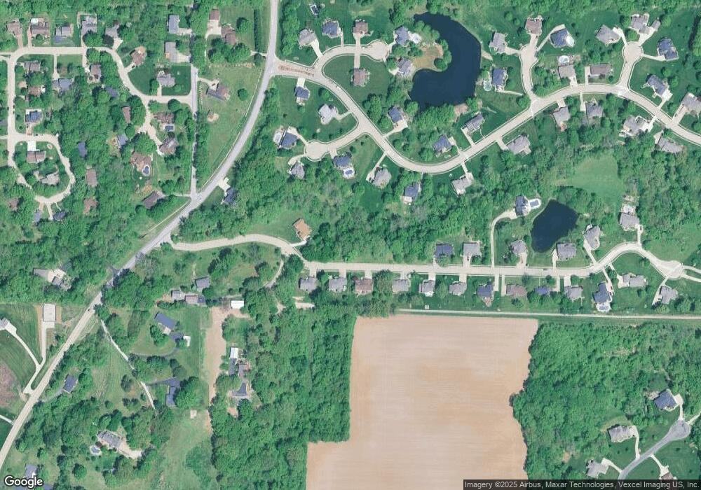
Map
Nearby Homes
- 2335 Staunton Rd
- 124 Taylor Lake Dr
- 313 Old Homestead Dr
- 532 Taake Ln
- 531 Taake Ln
- 2281 Staunton Rd
- 2261 Staunton Rd
- 2265 Staunton Rd
- 2289 Staunton Rd
- 2285 Staunton Rd
- 2277 Staunton Rd
- 618 Meadowlark St
- 8627 Lower Marine Rd
- 0 Lower Marine Rd Unit MIS25066224
- Tbd Lower Marine Rd
- xxx Lower Marine Rd
- 2141 Willow Creek
- 208 E Throp St
- 3 Price Dr
- 8739 Wendell Creek Dr
Your Personal Tour Guide
Ask me questions while you tour the home.