213 Mockingbird Hill Rd Landrum, SC 29356
Estimated Value: $528,000 - $840,000
3
Beds
4
Baths
3,260
Sq Ft
$212/Sq Ft
Est. Value
About This Home
This home is located at 213 Mockingbird Hill Rd, Landrum, SC 29356 and is currently estimated at $691,602, approximately $212 per square foot. 213 Mockingbird Hill Rd is a home located in Spartanburg County with nearby schools including O.P. Earle Elementary School, Landrum Middle School, and Landrum High School.
Ownership History
Date
Name
Owned For
Owner Type
Purchase Details
Closed on
Nov 18, 2009
Sold by
Haynes R Anderson
Bought by
Clark Michael P and Clark Joan M
Current Estimated Value
Home Financials for this Owner
Home Financials are based on the most recent Mortgage that was taken out on this home.
Original Mortgage
$195,000
Outstanding Balance
$127,197
Interest Rate
4.98%
Mortgage Type
New Conventional
Estimated Equity
$564,405
Create a Home Valuation Report for This Property
The Home Valuation Report is an in-depth analysis detailing your home's value as well as a comparison with similar homes in the area
Home Values in the Area
Average Home Value in this Area
Purchase History
| Date | Buyer | Sale Price | Title Company |
|---|---|---|---|
| Clark Michael P | $404,000 | -- |
Source: Public Records
Mortgage History
| Date | Status | Borrower | Loan Amount |
|---|---|---|---|
| Open | Clark Michael P | $195,000 |
Source: Public Records
Tax History Compared to Growth
Tax History
| Year | Tax Paid | Tax Assessment Tax Assessment Total Assessment is a certain percentage of the fair market value that is determined by local assessors to be the total taxable value of land and additions on the property. | Land | Improvement |
|---|---|---|---|---|
| 2025 | $2,819 | $15,852 | $731 | $15,121 |
| 2024 | $2,819 | $15,852 | $731 | $15,121 |
| 2023 | $2,819 | $15,852 | $731 | $15,121 |
| 2022 | $2,466 | $13,789 | $649 | $13,140 |
| 2021 | $2,466 | $13,789 | $649 | $13,140 |
| 2020 | $2,435 | $13,789 | $649 | $13,140 |
| 2019 | $2,435 | $13,789 | $649 | $13,140 |
| 2018 | $2,435 | $13,789 | $649 | $13,140 |
| 2017 | $2,076 | $11,995 | $675 | $11,320 |
| 2016 | $2,076 | $11,995 | $675 | $11,320 |
| 2015 | $2,071 | $11,995 | $675 | $11,320 |
| 2014 | $1,709 | $11,995 | $675 | $11,320 |
Source: Public Records
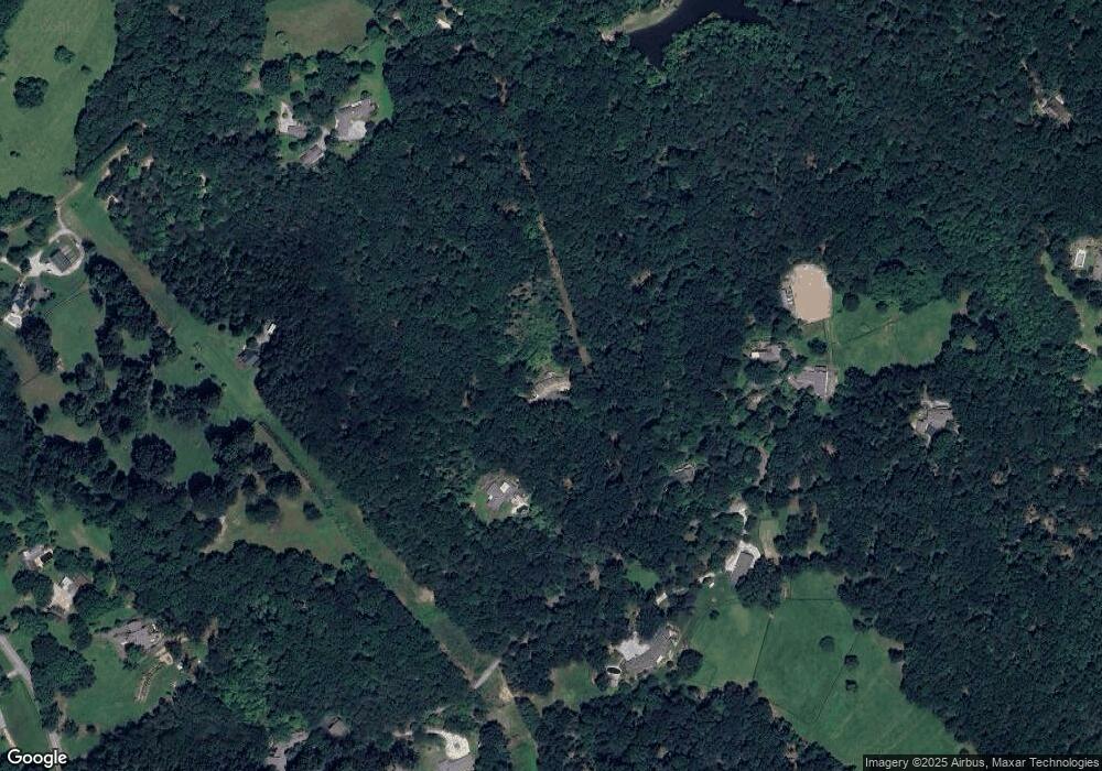
Map
Nearby Homes
- 31 Hunting Country Trail
- 8 Hunting Country Trail
- 7 Hearthstone Ln
- 1050 Hunting Country Rd
- 11 Hearthstone Ln
- 21907 Asheville Hwy
- 700 N Trade Ave
- 1476 New Market Rd
- 130 Sarah Dr
- 250 Kirkland Ave
- 354 E Lakeshore Dr
- 364 E Lakeshore Dr
- 201 E Greenwood St
- 00 E Greenwood St
- 206 E Greenwood St
- 123 Fox Covert Ln
- 115 Albert St
- 720 New Market Rd
- 209 N Howard Ave
- 00 Caledonia Rd
- 213 Mockingbird Hill Rd
- 211 Mockingbird Hill Rd
- 217 Mockingbird Hill Rd
- 221 Mockingbird Hill Rd
- 230 Blockhouse Rd
- 252 Holbert Cabin Ln
- 225 Mockingbird Hill Rd
- 15 Block House Rd
- 220 Mockingbird Hill Rd
- 130 Mockingbird Hill Rd
- 9 Block House Rd
- 231 Mockingbird Hill Rd
- 125 Mockingbird Hill Rd
- 845 Fox Run Ln
- 202 Blockhouse Rd
- 120 Mockingbird Hill Rd
- 220 Blockhouse Rd
- 206 Blockhouse Rd
- 121 Mockingbird Hill Rd
- 210 Blockhouse Rd