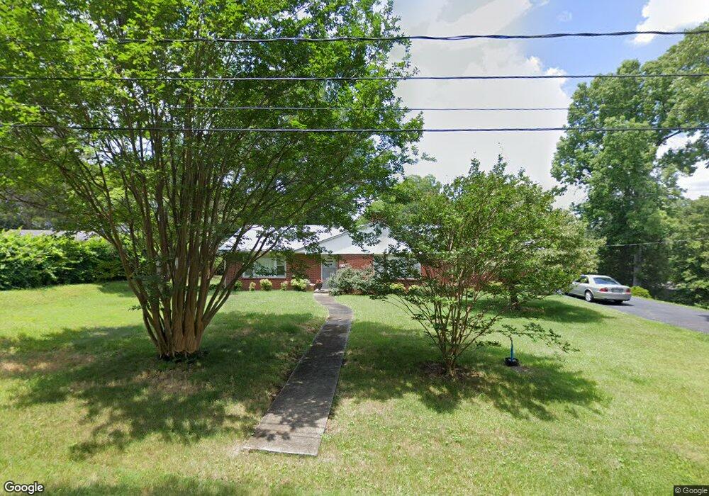
213 N Bingham St Denton, NC 27239
Estimated Value: $99,000 - $190,000
2
Beds
1
Bath
1,198
Sq Ft
$105/Sq Ft
Est. Value
About This Home
This home is located at 213 N Bingham St, Denton, NC 27239 and is currently estimated at $125,796, approximately $105 per square foot. 213 N Bingham St is a home located in Davidson County with nearby schools including Denton Elementary School and South Davidson Middle and High School.
Ownership History
Date
Name
Owned For
Owner Type
Purchase Details
Closed on
Feb 12, 2021
Sold by
Braswell Mark T and Braswell Jan
Bought by
Turner Gail and Pritchard Scott R
Current Estimated Value
Home Financials for this Owner
Home Financials are based on the most recent Mortgage that was taken out on this home.
Original Mortgage
$64,131
Outstanding Balance
$57,259
Interest Rate
2.6%
Mortgage Type
FHA
Estimated Equity
$68,537
Purchase Details
Closed on
Nov 1, 1994
Create a Home Valuation Report for This Property
The Home Valuation Report is an in-depth analysis detailing your home's value as well as a comparison with similar homes in the area
Home Values in the Area
Average Home Value in this Area
Purchase History
| Date | Buyer | Sale Price | Title Company |
|---|---|---|---|
| Turner Gail | $65,500 | None Available | |
| Turner Gail | $65,500 | None Listed On Document | |
| -- | $30,000 | -- |
Source: Public Records
Mortgage History
| Date | Status | Borrower | Loan Amount |
|---|---|---|---|
| Open | Turner Gail | $64,131 | |
| Closed | Turner Gail | $64,313 |
Source: Public Records
Tax History Compared to Growth
Tax History
| Year | Tax Paid | Tax Assessment Tax Assessment Total Assessment is a certain percentage of the fair market value that is determined by local assessors to be the total taxable value of land and additions on the property. | Land | Improvement |
|---|---|---|---|---|
| 2025 | $690 | $61,440 | $0 | $0 |
| 2024 | $690 | $61,440 | $0 | $0 |
| 2023 | $690 | $61,440 | $0 | $0 |
| 2022 | $690 | $61,440 | $0 | $0 |
| 2021 | $507 | $45,110 | $0 | $0 |
| 2020 | $447 | $39,780 | $0 | $0 |
| 2019 | $453 | $39,780 | $0 | $0 |
| 2018 | $453 | $39,780 | $0 | $0 |
| 2017 | $453 | $39,780 | $0 | $0 |
| 2016 | $453 | $39,780 | $0 | $0 |
| 2015 | $434 | $39,780 | $0 | $0 |
| 2014 | $394 | $36,130 | $0 | $0 |
Source: Public Records
Map
Nearby Homes
- 249 Farmbrook Dr
- 148 Garner St
- 162 E 3rd St
- 539 W Salisbury St
- 240 Anderson St
- 0 Jones St
- 491 W Peacock Ave
- 00 N Carolina 47
- 61 Haywood St
- 00 3rd St
- 191 Howell Dr
- 149 Seeley Dr
- 434 E Salisbury St
- 952 Flat Swamp Rd
- 320 Forest Park Dr
- 278 Forest Park Dr
- 219 Dot St
- 0000 Bombay Rd
- 997 Yates Rd
- 00 Garner Rd