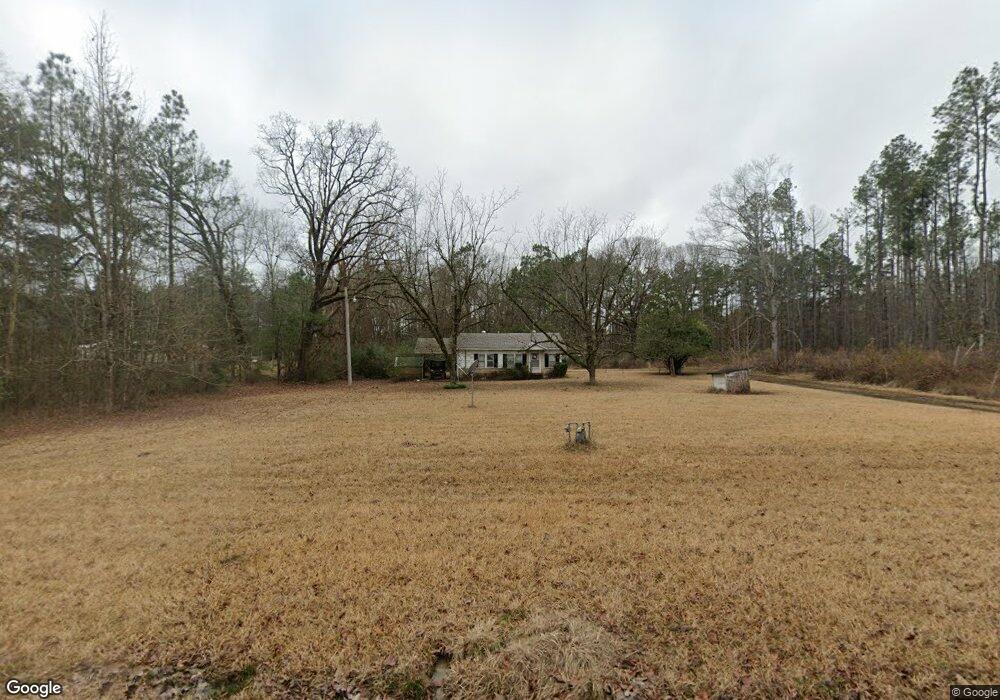
213 N Cedar St Gurdon, AR 71743
Estimated Value: $46,964 - $94,000
2
Beds
1
Bath
976
Sq Ft
$76/Sq Ft
Est. Value
About This Home
This home is located at 213 N Cedar St, Gurdon, AR 71743 and is currently estimated at $73,988, approximately $75 per square foot. 213 N Cedar St is a home located in Clark County with nearby schools including Gurdon Primary School, Cabe Middle School, and Gurdon High School.
Ownership History
Date
Name
Owned For
Owner Type
Purchase Details
Closed on
Feb 21, 2025
Sold by
Anthony Family Trust and Anthony Rick L
Bought by
Baker Kyli Jo and Aucion Cody T
Current Estimated Value
Home Financials for this Owner
Home Financials are based on the most recent Mortgage that was taken out on this home.
Original Mortgage
$25,500
Outstanding Balance
$25,279
Interest Rate
7.04%
Mortgage Type
New Conventional
Estimated Equity
$48,709
Purchase Details
Closed on
Mar 21, 2024
Sold by
Anthony Rick L
Bought by
Anthony Family Trust and Anthony
Purchase Details
Closed on
Nov 1, 2001
Bought by
Williams Perry D and Williams Shirley J
Purchase Details
Closed on
Sep 11, 2000
Bought by
Whelen Springs Baptist Church
Purchase Details
Closed on
Mar 1, 1985
Bought by
Church
Create a Home Valuation Report for This Property
The Home Valuation Report is an in-depth analysis detailing your home's value as well as a comparison with similar homes in the area
Home Values in the Area
Average Home Value in this Area
Purchase History
| Date | Buyer | Sale Price | Title Company |
|---|---|---|---|
| Baker Kyli Jo | $30,000 | None Listed On Document | |
| Anthony Family Trust | -- | None Listed On Document | |
| Williams Perry D | $3,700 | -- | |
| Williams Perry D | $5,700 | -- | |
| Whelen Springs Baptist Church | -- | -- | |
| Church | -- | -- |
Source: Public Records
Mortgage History
| Date | Status | Borrower | Loan Amount |
|---|---|---|---|
| Open | Baker Kyli Jo | $25,500 |
Source: Public Records
Tax History Compared to Growth
Tax History
| Year | Tax Paid | Tax Assessment Tax Assessment Total Assessment is a certain percentage of the fair market value that is determined by local assessors to be the total taxable value of land and additions on the property. | Land | Improvement |
|---|---|---|---|---|
| 2024 | $237 | $4,310 | $150 | $4,160 |
| 2023 | $207 | $4,310 | $150 | $4,160 |
| 2022 | $207 | $4,310 | $150 | $4,160 |
| 2021 | $207 | $4,310 | $150 | $4,160 |
| 2020 | $207 | $4,310 | $150 | $4,160 |
| 2019 | $194 | $4,040 | $150 | $3,890 |
| 2018 | $192 | $4,040 | $150 | $3,890 |
| 2017 | $192 | $4,040 | $150 | $3,890 |
| 2016 | $192 | $4,040 | $150 | $3,890 |
| 2015 | $192 | $4,040 | $150 | $3,890 |
| 2014 | $204 | $4,290 | $150 | $4,140 |
Source: Public Records
Map
Nearby Homes
- 0 Kansas Rd
- 0 Beech Creek Rd
- TBD Hwy 67
- 58 Dodgen Rd
- TBD Kansas Rd
- 152 Hesterly St
- 51 South St
- 1795 Bowen Hill Rd
- 110 S 10th St
- 103 Stonegate Ct
- 326 Arkansas 53
- 0000 Arkansas 53
- 109 N 7th St
- 3.95 acres Campbell Hill Rd
- 7104 Highway 67 S
- 313 W Miller St
- TBD Hwy 67 S
- 1148 Nevada 41 Rd
- E Whelen Rd
- 2631 Arkansas 24