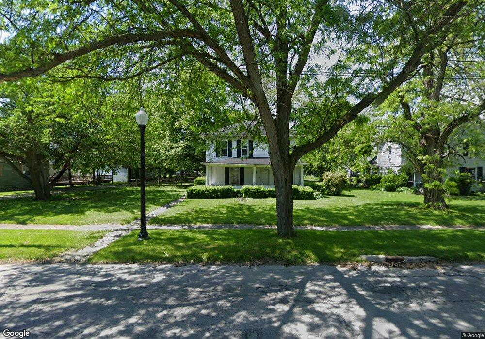
213 N Findlay Rd Haskins, OH 43525
Estimated Value: $240,164 - $271,000
3
Beds
1
Bath
1,740
Sq Ft
$146/Sq Ft
Est. Value
About This Home
This home is located at 213 N Findlay Rd, Haskins, OH 43525 and is currently estimated at $254,291, approximately $146 per square foot. 213 N Findlay Rd is a home located in Wood County with nearby schools including Otsego Elementary School, Otsego Junior High School, and Otsego High School.
Ownership History
Date
Name
Owned For
Owner Type
Purchase Details
Closed on
Mar 11, 2002
Sold by
Barton Mark S and Barton Beth A
Bought by
Billnitzer Timothy and Billnitzer Tiffany Jean
Current Estimated Value
Home Financials for this Owner
Home Financials are based on the most recent Mortgage that was taken out on this home.
Original Mortgage
$110,415
Interest Rate
10.5%
Purchase Details
Closed on
Sep 18, 1995
Sold by
Beck Kenneth J
Bought by
Barton Mark S and Barton Beth A
Home Financials for this Owner
Home Financials are based on the most recent Mortgage that was taken out on this home.
Original Mortgage
$74,500
Interest Rate
7.81%
Mortgage Type
New Conventional
Purchase Details
Closed on
Jun 2, 1992
Bought by
Beck Kenneth J
Create a Home Valuation Report for This Property
The Home Valuation Report is an in-depth analysis detailing your home's value as well as a comparison with similar homes in the area
Home Values in the Area
Average Home Value in this Area
Purchase History
| Date | Buyer | Sale Price | Title Company |
|---|---|---|---|
| Billnitzer Timothy | $129,900 | Louisville Title Agency For | |
| Barton Mark S | $79,000 | -- | |
| Beck Kenneth J | $13,800 | -- |
Source: Public Records
Mortgage History
| Date | Status | Borrower | Loan Amount |
|---|---|---|---|
| Previous Owner | Billnitzer Timothy | $110,415 | |
| Previous Owner | Barton Mark S | $74,500 |
Source: Public Records
Tax History Compared to Growth
Tax History
| Year | Tax Paid | Tax Assessment Tax Assessment Total Assessment is a certain percentage of the fair market value that is determined by local assessors to be the total taxable value of land and additions on the property. | Land | Improvement |
|---|---|---|---|---|
| 2024 | $2,290 | $49,945 | $16,765 | $33,180 |
| 2023 | $2,290 | $49,950 | $16,770 | $33,180 |
| 2021 | $2,188 | $43,830 | $14,880 | $28,950 |
| 2020 | $2,199 | $43,830 | $14,880 | $28,950 |
| 2019 | $2,081 | $39,840 | $14,880 | $24,960 |
| 2018 | $2,074 | $39,840 | $14,880 | $24,960 |
| 2017 | $1,960 | $39,840 | $14,880 | $24,960 |
| 2016 | $1,880 | $38,120 | $14,670 | $23,450 |
| 2015 | $1,880 | $38,120 | $14,670 | $23,450 |
| 2014 | $1,936 | $38,120 | $14,670 | $23,450 |
| 2013 | $2,003 | $36,300 | $13,970 | $22,330 |
Source: Public Records
Map
Nearby Homes
- 0 River Rd W
- 117 S 5th St
- 22 S 5th St
- 0 W River Rd Unit 6133310
- 0 W River Rd Unit 6134934
- 131 N River Rd
- 214 N 2nd St
- 132 Wilkshire Dr
- 16600 Tyler Rd
- 341 N River Rd
- 842 Cherry Ln
- 305 Ridgepoint Cir
- 1371 Eastridge Dr
- 491 Patriot Dr W
- 0 King Rd Unit 10000333
- 28 Mattatuck Way
- 13124 Devils Hole Rd
- 540 Independence Dr
- 792 Wilkshire Dr
- 25216 John F McCarthy Way