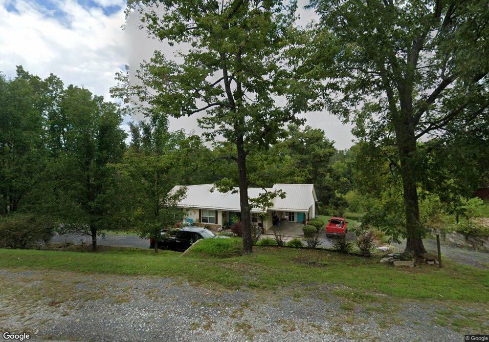
213 N Highway 27 Marshall, AR 72650
Estimated Value: $112,221 - $176,000
Studio
1
Bath
1,889
Sq Ft
$76/Sq Ft
Est. Value
About This Home
This home is located at 213 N Highway 27, Marshall, AR 72650 and is currently estimated at $143,305, approximately $75 per square foot. 213 N Highway 27 is a home located in Searcy County with nearby schools including Marshall Elementary School, Leslie Elementary School, and Marshall High School.
Ownership History
Date
Name
Owned For
Owner Type
Purchase Details
Closed on
Nov 8, 2012
Bought by
Horton Heather
Current Estimated Value
Purchase Details
Closed on
Nov 17, 2011
Sold by
Roach Cliff and Roach Cliff W
Bought by
Ratchford Jeff
Purchase Details
Closed on
Jun 16, 2000
Bought by
Ward Ronald J and Ward Peggy
Purchase Details
Closed on
Jun 3, 1997
Bought by
Wallis Kathy R
Purchase Details
Closed on
Dec 13, 1995
Bought by
Davis Carol
Purchase Details
Closed on
Dec 6, 1995
Bought by
Woods
Purchase Details
Closed on
May 1, 1994
Bought by
Woods
Create a Home Valuation Report for This Property
The Home Valuation Report is an in-depth analysis detailing your home's value as well as a comparison with similar homes in the area
Purchase History
We collect this data history from publicly available records. To have your information removed, we recommend requesting removal directly through your county’s website.
| Date | Buyer | Sale Price | Title Company |
|---|---|---|---|
| Horton Heather | -- | -- | |
| Horton Heather | -- | -- | |
| Ratchford Jeff | -- | -- | |
| Ward Ronald J | $28,500 | -- | |
| Wallis Kathy R | $27,000 | -- | |
| Davis Carol | $18,500 | -- | |
| Woods | -- | -- | |
| Woods | $17,000 | -- |
Source: Public Records
Tax History
| Year | Tax Paid | Tax Assessment Tax Assessment Total Assessment is a certain percentage of the fair market value that is determined by local assessors to be the total taxable value of land and additions on the property. | Land | Improvement |
|---|---|---|---|---|
| 2025 | $171 | $17,430 | $940 | $16,490 |
| 2024 | $237 | $17,430 | $940 | $16,490 |
| 2023 | $279 | $17,430 | $940 | $16,490 |
| 2022 | $329 | $17,430 | $940 | $16,490 |
| 2021 | $289 | $12,750 | $950 | $11,800 |
| 2020 | $289 | $12,750 | $950 | $11,800 |
| 2019 | $307 | $12,750 | $950 | $11,800 |
| 2018 | $332 | $12,750 | $950 | $11,800 |
| 2017 | $299 | $8,230 | $950 | $7,280 |
| 2016 | $69 | $8,230 | $950 | $7,280 |
| 2014 | -- | $6,980 | $950 | $6,030 |
Source: Public Records
Map
Nearby Homes
Your Personal Tour Guide
Ask me questions while you tour the home.