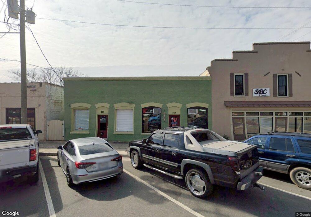
213 N Hill St Griffin, GA 30223
Spalding County NeighborhoodEstimated Value: $139,690
--
Bed
--
Bath
2,040
Sq Ft
$68/Sq Ft
Est. Value
About This Home
This home is located at 213 N Hill St, Griffin, GA 30223 and is currently estimated at $139,690, approximately $68 per square foot. 213 N Hill St is a home located in Spalding County with nearby schools including Moore Elementary School, Kennedy Road Middle School, and Griffin High School.
Ownership History
Date
Name
Owned For
Owner Type
Purchase Details
Closed on
Jun 24, 2016
Sold by
Michell Richard T
Bought by
Afya Environmental Grp Llc
Current Estimated Value
Purchase Details
Closed on
Jan 29, 1999
Sold by
Saslaw Jennifer M
Bought by
Michell Richard T and Michell Martha
Purchase Details
Closed on
Aug 8, 1985
Sold by
Mitchell Richard T and Mitchell Martha G
Bought by
Michell Jennifer
Purchase Details
Closed on
May 11, 1983
Sold by
Johnson Eli B
Bought by
Michell Richard T and Michell Martha G
Create a Home Valuation Report for This Property
The Home Valuation Report is an in-depth analysis detailing your home's value as well as a comparison with similar homes in the area
Home Values in the Area
Average Home Value in this Area
Purchase History
| Date | Buyer | Sale Price | Title Company |
|---|---|---|---|
| Afya Environmental Grp Llc | $49,000 | -- | |
| Michell Richard T | -- | -- | |
| Michell Jennifer | $7,000 | -- | |
| Michell Richard T | -- | -- |
Source: Public Records
Tax History Compared to Growth
Tax History
| Year | Tax Paid | Tax Assessment Tax Assessment Total Assessment is a certain percentage of the fair market value that is determined by local assessors to be the total taxable value of land and additions on the property. | Land | Improvement |
|---|---|---|---|---|
| 2024 | $1,139 | $29,518 | $6,600 | $22,918 |
| 2023 | $1,103 | $27,611 | $6,600 | $21,011 |
| 2022 | $728 | $18,218 | $6,600 | $11,618 |
| 2021 | $772 | $19,325 | $6,600 | $12,725 |
| 2020 | $772 | $19,325 | $6,600 | $12,725 |
| 2019 | $786 | $19,325 | $6,600 | $12,725 |
| 2018 | $816 | $19,325 | $6,600 | $12,725 |
| 2017 | $799 | $19,325 | $6,600 | $12,725 |
| 2016 | $812 | $19,325 | $6,600 | $12,725 |
| 2015 | $825 | $19,325 | $6,600 | $12,725 |
| 2014 | $850 | $19,325 | $6,600 | $12,725 |
Source: Public Records
Map
Nearby Homes
- 216 N 6th St
- 102 N Hill St Unit 304
- 102 N Hill St Unit 303
- 218 W Central Ave
- 222 E Chappell St
- 215 W Chappell St
- 223 N 5th St
- 833 A&b E Tinsley St
- 218 E Tinsley St
- 421 N 6th St
- 314 E Quilly St
- 233 E Tinsley St
- 325 W Quilly St
- 418 N 9th St
- 321 N 10th St
- 333 N 10th St
- 106 E Cherry St
- 102 E Cherry St
- 406 E Solomon St
- 411 Palace St
- 217 N Hill St Unit Tract A
- 233 N Hill St
- 0 E Broadway St Unit 7502660
- 0 E Broadway St Unit 7502650
- 0 E Broadway St Unit 1.73 AC 20000942
- 0 E Broadway St Unit 1.73 Ac 8940541
- 119 W Central Ave
- 206 N Hill St
- 235 N Hill St
- 508 W Broadway St
- 116 W Chappell St
- 118 W Chappell St
- 214 N 8th St
- 122 W Chappell St
- 216 N 8th St
- 218 N 8th St
- 126 W Chappell St
- 131 Johnson Road Extension
- 106 N Hill St Unit CU-1
- 108 N Hill St