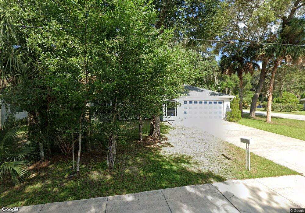
213 N Kentucky Ave Deland, FL 32724
Estimated Value: $259,943 - $277,000
3
Beds
2
Baths
1,187
Sq Ft
$227/Sq Ft
Est. Value
About This Home
This home is located at 213 N Kentucky Ave, Deland, FL 32724 and is currently estimated at $269,236, approximately $226 per square foot. 213 N Kentucky Ave is a home located in Volusia County with nearby schools including Deland High School, Blue Lake Elementary School, and Deland Middle School.
Ownership History
Date
Name
Owned For
Owner Type
Purchase Details
Closed on
Jul 22, 2021
Sold by
Repicky Bonita E
Bought by
Repicky Tami M and Repicky William M
Current Estimated Value
Purchase Details
Closed on
May 5, 1997
Sold by
Summers John W
Bought by
Repicky Bonita E
Home Financials for this Owner
Home Financials are based on the most recent Mortgage that was taken out on this home.
Original Mortgage
$52,000
Outstanding Balance
$7,110
Interest Rate
7.98%
Mortgage Type
Purchase Money Mortgage
Estimated Equity
$262,126
Purchase Details
Closed on
Nov 15, 1986
Bought by
Repicky Bonita E
Create a Home Valuation Report for This Property
The Home Valuation Report is an in-depth analysis detailing your home's value as well as a comparison with similar homes in the area
Home Values in the Area
Average Home Value in this Area
Purchase History
| Date | Buyer | Sale Price | Title Company |
|---|---|---|---|
| Repicky Tami M | -- | Accommodation | |
| Repicky Bonita E | $10,000 | -- | |
| Repicky Bonita E | $2,800 | -- |
Source: Public Records
Mortgage History
| Date | Status | Borrower | Loan Amount |
|---|---|---|---|
| Open | Repicky Bonita E | $52,000 |
Source: Public Records
Tax History Compared to Growth
Tax History
| Year | Tax Paid | Tax Assessment Tax Assessment Total Assessment is a certain percentage of the fair market value that is determined by local assessors to be the total taxable value of land and additions on the property. | Land | Improvement |
|---|---|---|---|---|
| 2025 | $241 | $67,898 | -- | -- |
| 2024 | $241 | $65,985 | -- | -- |
| 2023 | $241 | $64,064 | $0 | $0 |
| 2022 | $237 | $62,198 | $0 | $0 |
| 2021 | $247 | $60,386 | $0 | $0 |
| 2020 | $248 | $59,552 | $0 | $0 |
| 2019 | $257 | $58,213 | $0 | $0 |
| 2018 | $608 | $57,128 | $0 | $0 |
| 2017 | $622 | $55,953 | $0 | $0 |
| 2016 | $607 | $54,802 | $0 | $0 |
| 2015 | $622 | $54,059 | $0 | $0 |
| 2014 | $634 | $53,630 | $0 | $0 |
Source: Public Records
Map
Nearby Homes
- 524 E Church St
- 322 N Frankfort Ave
- 455 E Church St
- 139 N Boston Ave
- 449 E Church St
- 443, 449 & 455 E Church St
- 406 N Kentucky Ave
- 330 E Wisconsin Ave
- 1301 E Wisconsin Ave
- 419 N Frankfort Ave
- 0 E Wisconsin Ave Unit MFRO6190518
- 345 E Church St
- 706 E Minnesota Ave Unit C
- 437 N Boston Ave Unit 437
- 135 S Arlington Ave
- 503 E Minnesota Ave
- 3 S University Cir
- 502 E Howry Ave
- 141 N McDonald Ave
- 401 N McDonald Ave
- 217 N Kentucky Ave
- 219 N Kentucky Ave
- 619 E Church St
- 602 E Church St
- 215 N Kentucky Ave
- 621 E Church St
- 606 E Wisconsin Ave
- 218 N Kentucky Ave
- 221 N Kentucky Ave
- 618 E Church St
- 216 N Kentucky Ave
- 623 E Church St
- 608 E Wisconsin Ave
- 214 N Kentucky Ave
- 622 E Church St
- 528 E Church St
- 605 E Rich Ave
- 250 N Kentucky Ave
- 601 E Rich Ave