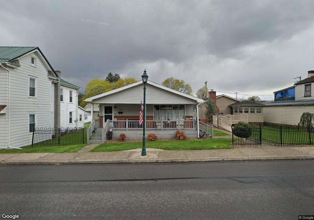
213 N Market St Selinsgrove, PA 17870
Estimated Value: $101,655 - $218,000
--
Bed
--
Bath
--
Sq Ft
3,485
Sq Ft Lot
About This Home
This home is located at 213 N Market St, Selinsgrove, PA 17870 and is currently estimated at $168,164. 213 N Market St is a home located in Snyder County with nearby schools including Selinsgrove Intermediate School, Selinsgrove Area Elementary School, and Selinsgrove Area Middle School.
Ownership History
Date
Name
Owned For
Owner Type
Purchase Details
Closed on
May 10, 2023
Sold by
Dl Herrold Llc
Bought by
Doak Nicole K and Doak Brianne N
Current Estimated Value
Purchase Details
Closed on
Dec 9, 2014
Sold by
Weaver Susan M and Weaver Chip A
Bought by
D L Herrold Llc
Purchase Details
Closed on
Nov 20, 2014
Sold by
Moll Betsy L and Moll Charles E
Bought by
D L Herrold Llc
Create a Home Valuation Report for This Property
The Home Valuation Report is an in-depth analysis detailing your home's value as well as a comparison with similar homes in the area
Home Values in the Area
Average Home Value in this Area
Purchase History
| Date | Buyer | Sale Price | Title Company |
|---|---|---|---|
| Doak Nicole K | -- | None Listed On Document | |
| D L Herrold Llc | -- | None Available | |
| D L Herrold Llc | -- | None Available | |
| D L Herrold Llc | $110,000 | None Available |
Source: Public Records
Tax History Compared to Growth
Tax History
| Year | Tax Paid | Tax Assessment Tax Assessment Total Assessment is a certain percentage of the fair market value that is determined by local assessors to be the total taxable value of land and additions on the property. | Land | Improvement |
|---|---|---|---|---|
| 2025 | $2,788 | $23,310 | $3,090 | $20,220 |
| 2024 | $2,618 | $23,310 | $3,090 | $20,220 |
| 2023 | $1,045 | $23,310 | $3,090 | $20,220 |
| 2022 | $2,513 | $23,310 | $3,090 | $20,220 |
| 2021 | $2,490 | $23,310 | $3,090 | $20,220 |
| 2020 | $2,478 | $23,310 | $3,090 | $20,220 |
| 2019 | $2,466 | $23,310 | $3,090 | $20,220 |
| 2018 | $2,443 | $23,310 | $3,090 | $20,220 |
| 2017 | $2,420 | $23,310 | $3,090 | $20,220 |
| 2016 | $1,301 | $23,310 | $3,090 | $20,220 |
| 2015 | $85,810 | $23,310 | $3,090 | $20,220 |
| 2014 | $85,810 | $23,220 | $3,000 | $20,220 |
Source: Public Records
Map
Nearby Homes
- 207 Orange St Unit 209
- 500 N Orange St
- 211 W Pine St
- 223 E Pine St
- 511 N 10th St
- 722 N 8th St
- 00 S Market St
- Lot 1 522 Route S
- 321 Pleasant Dr
- 20 Quarry Rd
- 12 Minton Dr
- 9130 State Route 147
- 0 Wedgewood Dr
- 456 State School Rd
- 1262 N Old Trail
- 0 Roosevelt Ave
- 0 Mill Rd
- 594 Augusta Dr
- 85 Old Colony Rd
- 107 Saint Andrews Way
- 209 N Market St
- 215 N Market St
- 6 E Snyder St
- 206 N Water St Unit 208
- 204 N Water St
- 210 N Water St
- 18 E Snyder St
- 202 N Water St
- 214 N Market St
- 214 N Water St
- 15 E Spruce St
- 17 E Spruce St
- 19 E Spruce St
- 13 E Snyder St
- 21 E Spruce St
- 200 N Water St
- 15 E Snyder St
- 315 E Snyder St
- 21 E Snyder St
- 218 N Water St Unit 218 1/2