Estimated Value: $205,000 - $256,000
3
Beds
1
Bath
1,933
Sq Ft
$124/Sq Ft
Est. Value
About This Home
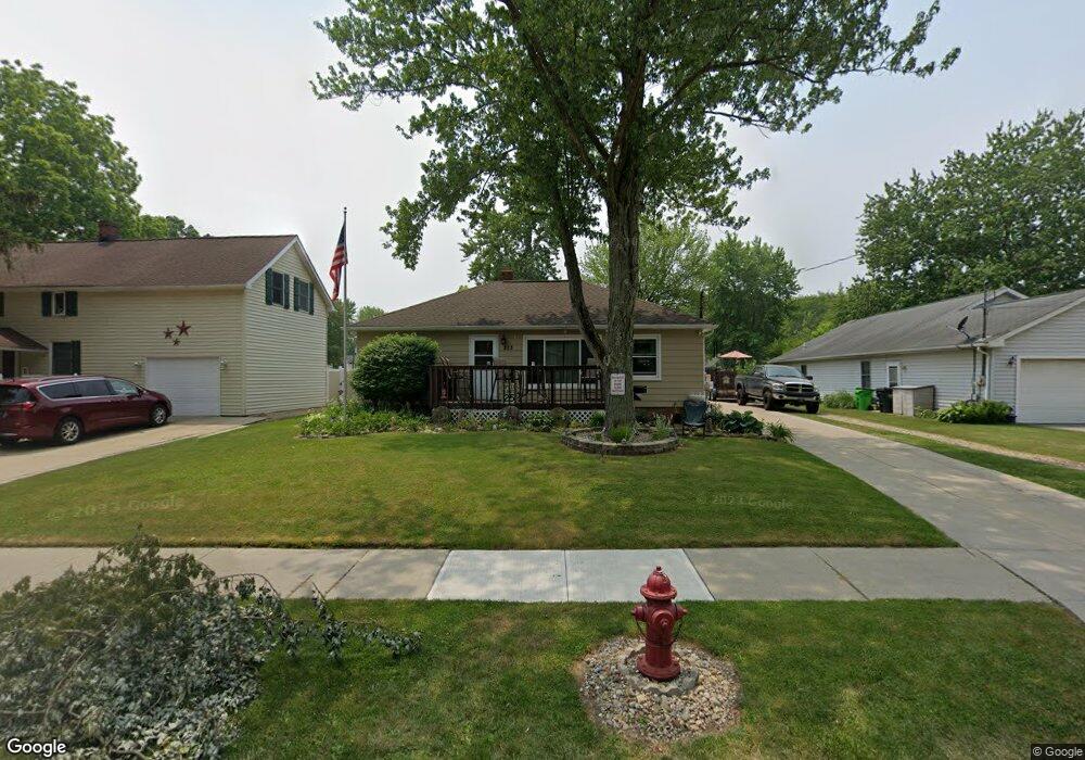
This home is located at 213 Nobottom Rd, Berea, OH 44017 and is currently estimated at $240,241, approximately $124 per square foot. 213 Nobottom Rd is a home located in Cuyahoga County with nearby schools including Grindstone Elementary School, Berea-Midpark Middle School, and Berea-Midpark High School.
Ownership History
Date
Name
Owned For
Owner Type
Purchase Details
Closed on
Jan 25, 2011
Sold by
A&F Machine Products Co
Bought by
Plon Llc
Current Estimated Value
Purchase Details
Closed on
Jan 19, 2010
Sold by
Gardin Richard
Bought by
Tintelnot Jamie N
Home Financials for this Owner
Home Financials are based on the most recent Mortgage that was taken out on this home.
Original Mortgage
$112,917
Interest Rate
6.6%
Mortgage Type
FHA
Purchase Details
Closed on
Jul 9, 1984
Sold by
Trimbach Adelbert J and D H
Bought by
Trimbach Adelbert J
Purchase Details
Closed on
Jan 1, 1975
Bought by
Trimbach Adelbert J and D H
Create a Home Valuation Report for This Property
The Home Valuation Report is an in-depth analysis detailing your home's value as well as a comparison with similar homes in the area
Home Values in the Area
Average Home Value in this Area
Purchase History
| Date | Buyer | Sale Price | Title Company |
|---|---|---|---|
| Plon Llc | -- | Attorney | |
| Tintelnot Jamie N | $115,000 | Chicago Title Insurance Co | |
| Trimbach Adelbert J | -- | -- | |
| Trimbach Adelbert J | -- | -- |
Source: Public Records
Mortgage History
| Date | Status | Borrower | Loan Amount |
|---|---|---|---|
| Previous Owner | Tintelnot Jamie N | $112,917 |
Source: Public Records
Tax History
| Year | Tax Paid | Tax Assessment Tax Assessment Total Assessment is a certain percentage of the fair market value that is determined by local assessors to be the total taxable value of land and additions on the property. | Land | Improvement |
|---|---|---|---|---|
| 2024 | $4,152 | $71,750 | $13,720 | $58,030 |
| 2023 | $3,800 | $55,020 | $11,690 | $43,330 |
| 2022 | $3,776 | $55,020 | $11,690 | $43,330 |
| 2021 | $3,743 | $55,020 | $11,690 | $43,330 |
| 2020 | $3,531 | $46,030 | $9,910 | $36,120 |
| 2019 | $3,437 | $131,500 | $28,300 | $103,200 |
| 2018 | $3,279 | $46,030 | $9,910 | $36,120 |
| 2017 | $3,367 | $42,080 | $8,440 | $33,640 |
| 2016 | $3,342 | $42,080 | $8,440 | $33,640 |
| 2015 | $3,323 | $42,080 | $8,440 | $33,640 |
| 2014 | $3,323 | $44,280 | $8,890 | $35,390 |
Source: Public Records
Map
Nearby Homes
- 487 Karen Dr
- 428 Park Place
- 379 Laurel Dr
- 146 Marian Ln
- 93 W 5th Ave
- 160 Marian Ln Unit 6A
- 404 Crescent Dr
- 446 Redwood Dr
- 211 W Bridge St
- 725 Shakespeare Dr
- 628 Lindbergh Blvd
- 209 Gibson St
- 216 Kraft St
- 300 West St
- 287 Edgewood Dr
- 56 3rd Ave
- 160 Stonepointe Dr
- 100 River Rock Way
- 57 Riverside Dr
- 388 Fairwood Cir
Your Personal Tour Guide
Ask me questions while you tour the home.