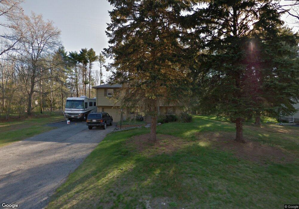
213 Oak St Raynham, MA 02767
Estimated Value: $589,000 - $657,000
3
Beds
2
Baths
1,872
Sq Ft
$334/Sq Ft
Est. Value
About This Home
This home is located at 213 Oak St, Raynham, MA 02767 and is currently estimated at $624,526, approximately $333 per square foot. 213 Oak St is a home located in Bristol County with nearby schools including Merrill Elementary School, LaLiberte Elementary School, and Williams Intermediate School.
Ownership History
Date
Name
Owned For
Owner Type
Purchase Details
Closed on
Sep 28, 2020
Sold by
Refm L2 Llc
Bought by
Braconi Alexandra and Braconi Robert
Current Estimated Value
Purchase Details
Closed on
Nov 3, 2017
Sold by
Horan Kevin
Bought by
Adraneda Marilen L and Adraneda Marien L
Home Financials for this Owner
Home Financials are based on the most recent Mortgage that was taken out on this home.
Original Mortgage
$270,000
Interest Rate
3.83%
Mortgage Type
New Conventional
Purchase Details
Closed on
Apr 19, 2012
Sold by
Horan David J
Bought by
Horan David J and Horan Kevin
Purchase Details
Closed on
Mar 12, 1965
Bought by
Horan David J and Horan Kevin
Create a Home Valuation Report for This Property
The Home Valuation Report is an in-depth analysis detailing your home's value as well as a comparison with similar homes in the area
Home Values in the Area
Average Home Value in this Area
Purchase History
| Date | Buyer | Sale Price | Title Company |
|---|---|---|---|
| Braconi Alexandra | $100,000 | None Available | |
| Adraneda Marilen L | -- | -- | |
| Horan Kevin | $100,000 | -- | |
| Horan David J | -- | -- | |
| Horan David J | -- | -- |
Source: Public Records
Mortgage History
| Date | Status | Borrower | Loan Amount |
|---|---|---|---|
| Previous Owner | Adraneda Marilen L | $270,000 | |
| Previous Owner | Horan David J | $184,000 |
Source: Public Records
Tax History Compared to Growth
Tax History
| Year | Tax Paid | Tax Assessment Tax Assessment Total Assessment is a certain percentage of the fair market value that is determined by local assessors to be the total taxable value of land and additions on the property. | Land | Improvement |
|---|---|---|---|---|
| 2025 | $6,403 | $529,200 | $225,500 | $303,700 |
| 2024 | $6,324 | $509,200 | $205,500 | $303,700 |
| 2023 | $5,814 | $427,500 | $184,700 | $242,800 |
| 2022 | $5,549 | $374,200 | $174,700 | $199,500 |
| 2021 | $5,209 | $354,600 | $164,700 | $189,900 |
| 2020 | $4,726 | $328,000 | $156,700 | $171,300 |
| 2019 | $4,525 | $318,000 | $146,700 | $171,300 |
| 2018 | $4,266 | $286,300 | $138,700 | $147,600 |
| 2017 | $4,129 | $274,700 | $132,700 | $142,000 |
| 2016 | $4,055 | $270,700 | $128,700 | $142,000 |
| 2015 | $3,854 | $252,900 | $132,800 | $120,100 |
Source: Public Records
Map
Nearby Homes
- 281 Carver St
- 658 Broadway
- 120 Carver St
- 109 Broadway
- 2 Maplewood Ln Unit 21-1
- 0 Maplewood Unit 21.3 73426136
- 0 Maplewood Unit 33-1 73420094
- 38 Elm St E
- 5 New Carver St
- 848 N Main St
- 643 Center St
- 970 N Main St
- 1540 Broadway Unit 35
- 1540 Broadway Unit 31
- 1037 N Main St
- 1553 Broadway
- 1 Maplewood Ln Unit 33-3
- 203 Hall St
- 48 Mayflower Ave
- 1 Betsy Ross Rd