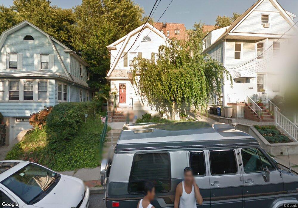
213 Oakwood Ave Staten Island, NY 10301
Silver Lake NeighborhoodEstimated Value: $780,363 - $909,000
3
Beds
3
Baths
2,222
Sq Ft
$370/Sq Ft
Est. Value
About This Home
This home is located at 213 Oakwood Ave, Staten Island, NY 10301 and is currently estimated at $822,591, approximately $370 per square foot. 213 Oakwood Ave is a home located in Richmond County with nearby schools including P.S. 45 John Tyler, Is 61 William A Morris, and Curtis High School.
Ownership History
Date
Name
Owned For
Owner Type
Purchase Details
Closed on
Jan 14, 2008
Sold by
Toderic Liviu and Toderic Deborah R
Bought by
Rivera Rosalind
Current Estimated Value
Home Financials for this Owner
Home Financials are based on the most recent Mortgage that was taken out on this home.
Original Mortgage
$470,000
Outstanding Balance
$296,828
Interest Rate
6.17%
Mortgage Type
Purchase Money Mortgage
Estimated Equity
$525,763
Create a Home Valuation Report for This Property
The Home Valuation Report is an in-depth analysis detailing your home's value as well as a comparison with similar homes in the area
Home Values in the Area
Average Home Value in this Area
Purchase History
| Date | Buyer | Sale Price | Title Company |
|---|---|---|---|
| Rivera Rosalind | $510,000 | None Available |
Source: Public Records
Mortgage History
| Date | Status | Borrower | Loan Amount |
|---|---|---|---|
| Open | Rivera Rosalind | $470,000 |
Source: Public Records
Tax History Compared to Growth
Tax History
| Year | Tax Paid | Tax Assessment Tax Assessment Total Assessment is a certain percentage of the fair market value that is determined by local assessors to be the total taxable value of land and additions on the property. | Land | Improvement |
|---|---|---|---|---|
| 2025 | $4,796 | $39,120 | $8,918 | $30,202 |
| 2024 | $4,808 | $40,980 | $8,032 | $32,948 |
| 2023 | $4,850 | $25,280 | $8,262 | $17,018 |
| 2022 | $4,721 | $39,360 | $13,020 | $26,340 |
| 2021 | $4,678 | $35,940 | $13,020 | $22,920 |
| 2020 | $4,430 | $35,520 | $13,020 | $22,500 |
| 2019 | $4,114 | $34,320 | $13,020 | $21,300 |
| 2018 | $3,997 | $21,067 | $8,658 | $12,409 |
| 2017 | $3,962 | $20,905 | $8,741 | $12,164 |
| 2016 | $3,633 | $19,723 | $9,532 | $10,191 |
| 2015 | $3,064 | $18,607 | $11,183 | $7,424 |
| 2014 | $3,064 | $17,556 | $9,979 | $7,577 |
Source: Public Records
Map
Nearby Homes
- 215 Hart Blvd Unit 3L
- 72 Gregg Place
- 58-62 University Place
- 372 Sharon Ave
- 112 Delafield Ave
- 54 City Blvd
- 776 Brighton Ave
- 20 Baker Place
- 525 Castleton Ave Unit 1C
- 171 Silver Lake Rd
- 244 Delafield Ave
- 26 Valencia Ave
- 585 Castleton Ave Unit 1c
- 414 Castleton Ave
- 34 Harvest Ave
- 435 Castleton Ave
- 354 Hoyt Ave
- 328 Stanley Ave
- 100 Lawrence Ave
- 1 Sunset Hill Dr
- 211 Oakwood Ave
- 217 Oakwood Ave
- 207 Oakwood Ave
- 219 Oakwood Ave
- 205 Oakwood Ave
- 221 Oakwood Ave
- 192 Hart Blvd
- 200 Hart Blvd Unit 6H
- 200 Hart Blvd Unit 6G
- 200 Hart Blvd Unit 6F
- 200 Hart Blvd Unit 6E
- 200 Hart Blvd Unit 6D
- 200 Hart Blvd Unit 6B
- 200 Hart Blvd Unit 6A
- 200 Hart Blvd Unit 5H
- 200 Hart Blvd Unit 5G
- 200 Hart Blvd Unit 5F
- 200 Hart Blvd Unit 5E
- 200 Hart Blvd Unit 5D
- 200 Hart Blvd Unit 5C