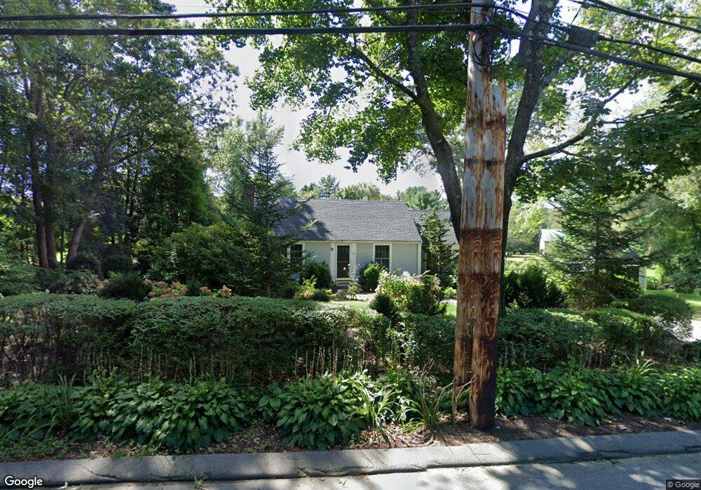
213 Oxbow Rd Wayland, MA 01778
Estimated Value: $919,000 - $1,078,000
3
Beds
2
Baths
1,648
Sq Ft
$602/Sq Ft
Est. Value
About This Home
This home is located at 213 Oxbow Rd, Wayland, MA 01778 and is currently estimated at $991,743, approximately $601 per square foot. 213 Oxbow Rd is a home located in Middlesex County with nearby schools including Wayland High School, Willow Hill School, and Corwin-Russell School at Broccoli Hall.
Ownership History
Date
Name
Owned For
Owner Type
Purchase Details
Closed on
Nov 6, 2012
Sold by
Mccarthy Kevin G and Mccarthy Nancy B
Bought by
Zachry Kate M
Current Estimated Value
Purchase Details
Closed on
Jul 30, 1976
Bought by
Mccarthy Kevin and Mccarthy Nancy
Create a Home Valuation Report for This Property
The Home Valuation Report is an in-depth analysis detailing your home's value as well as a comparison with similar homes in the area
Home Values in the Area
Average Home Value in this Area
Purchase History
| Date | Buyer | Sale Price | Title Company |
|---|---|---|---|
| Zachry Kate M | -- | -- | |
| Mccarthy Kevin | -- | -- | |
| Zachry Kate M | -- | -- |
Source: Public Records
Mortgage History
| Date | Status | Borrower | Loan Amount |
|---|---|---|---|
| Previous Owner | Mccarthy Kevin | $35,000 | |
| Previous Owner | Mccarthy Kevin | $130,000 |
Source: Public Records
Tax History Compared to Growth
Tax History
| Year | Tax Paid | Tax Assessment Tax Assessment Total Assessment is a certain percentage of the fair market value that is determined by local assessors to be the total taxable value of land and additions on the property. | Land | Improvement |
|---|---|---|---|---|
| 2025 | $13,632 | $872,200 | $526,300 | $345,900 |
| 2024 | $12,900 | $831,200 | $501,300 | $329,900 |
| 2023 | $12,549 | $753,700 | $455,800 | $297,900 |
| 2022 | $11,867 | $646,700 | $377,600 | $269,100 |
| 2021 | $11,340 | $612,300 | $343,200 | $269,100 |
| 2020 | $10,874 | $612,300 | $343,200 | $269,100 |
| 2019 | $10,458 | $572,100 | $327,000 | $245,100 |
| 2018 | $7,229 | $549,900 | $327,000 | $222,900 |
| 2017 | $5,164 | $528,200 | $311,300 | $216,900 |
| 2016 | $8,751 | $504,700 | $305,300 | $199,400 |
| 2015 | $9,077 | $493,600 | $305,300 | $188,300 |
Source: Public Records
Map
Nearby Homes
- 15 Lewis Path
- 134 Chestnut Cir
- 93 Old Sudbury Rd
- 244 Lincoln Rd
- Lot 5 Sailaway Ln
- 45 N Crescent Cir
- Lot 4 Sailaway Ln
- 2 Betts Way
- 8 Mina Way
- 0 Elm Unit 73282184
- Lot 9 Sailaway Ln
- 4 Betts Way
- 122 Sand Gully Rd N Unit B
- 192 Concord Rd
- 941 Concord Rd
- 152 S Great Rd
- 17 Glezen Ln
- 56 Rookery Ln Unit 4
- 401 Emery Ln Unit 304
- 33 Old Concord Rd
- 39 Sherman Bridge Rd
- 211 Oxbow Rd
- 220 Oxbow Rd
- 43 Sherman Bridge Rd
- 43 Sherman Bridge Rd Unit 43
- 33 Sherman Bridge Rd
- 209 Oxbow Rd
- 216 Oxbow Rd
- 45 Sherman's Bridge Rd
- 212 Oxbow Rd
- 45 Sherman Bridge Rd
- 47 Sherman Bridge Rd
- 205 Oxbow Rd
- 47 Sherman's Bridge Rd
- 44 Sherman Bridge Rd
- 40 Sherman Bridge Rd
- 36 Sherman Bridge Rd
- 34 Sherman Bridge Rd
- 206 Oxbow Rd
- 51 Sherman Bridge Rd