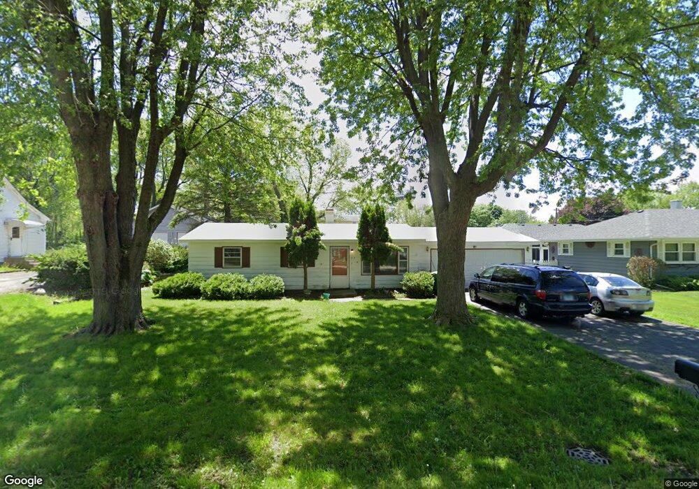
213 Panama Ave Unit 1 Hampshire, IL 60140
Estimated Value: $114,000 - $284,000
3
Beds
2
Baths
1,200
Sq Ft
$142/Sq Ft
Est. Value
About This Home
This home is located at 213 Panama Ave Unit 1, Hampshire, IL 60140 and is currently estimated at $169,881, approximately $141 per square foot. 213 Panama Ave Unit 1 is a home located in Kane County with nearby schools including Hampshire Elementary School, Hampshire Middle School, and Hampshire High School.
Ownership History
Date
Name
Owned For
Owner Type
Purchase Details
Closed on
Jan 17, 2025
Sold by
Vanacker James
Bought by
Severa Margaret
Current Estimated Value
Home Financials for this Owner
Home Financials are based on the most recent Mortgage that was taken out on this home.
Original Mortgage
$50,000
Outstanding Balance
$49,190
Interest Rate
6.72%
Mortgage Type
New Conventional
Estimated Equity
$120,691
Create a Home Valuation Report for This Property
The Home Valuation Report is an in-depth analysis detailing your home's value as well as a comparison with similar homes in the area
Home Values in the Area
Average Home Value in this Area
Purchase History
| Date | Buyer | Sale Price | Title Company |
|---|---|---|---|
| Severa Margaret | $110,000 | None Listed On Document |
Source: Public Records
Mortgage History
| Date | Status | Borrower | Loan Amount |
|---|---|---|---|
| Open | Severa Margaret | $50,000 |
Source: Public Records
Tax History Compared to Growth
Tax History
| Year | Tax Paid | Tax Assessment Tax Assessment Total Assessment is a certain percentage of the fair market value that is determined by local assessors to be the total taxable value of land and additions on the property. | Land | Improvement |
|---|---|---|---|---|
| 2024 | $4,097 | $71,974 | $23,869 | $48,105 |
| 2023 | $3,812 | $64,743 | $21,471 | $43,272 |
| 2022 | $3,889 | $59,501 | $19,733 | $39,768 |
| 2021 | $3,618 | $55,656 | $18,614 | $37,042 |
| 2020 | $3,541 | $54,135 | $18,105 | $36,030 |
| 2019 | $3,469 | $52,365 | $17,513 | $34,852 |
| 2018 | $3,380 | $49,476 | $16,547 | $32,929 |
| 2017 | $3,223 | $47,518 | $15,892 | $31,626 |
| 2016 | $3,119 | $44,668 | $14,939 | $29,729 |
| 2015 | -- | $41,517 | $13,885 | $27,632 |
| 2014 | -- | $40,148 | $13,427 | $26,721 |
| 2013 | -- | $42,716 | $14,286 | $28,430 |
Source: Public Records
Map
Nearby Homes
- 190 Grove Ave
- 263 E Jackson Ave
- 704 S State St
- 862 Briar Glen Ct
- 804 Briar Glen Ct
- 820 Briar Glen Ct
- 895 S State St
- 421 Klick St
- 125 Mill Ave
- 318 Old Mill Ln
- 120 Jack Dylan Dr
- Lot 0 N State St
- 602 Woodside Terrace
- LOT 37 W Oak Knoll Dr
- 1655 Windsor Rd
- 730 Bruce Dr
- 720 James Dr
- 431 Patricia Ln
- 808 James Dr
- 286 Wild Prairie Pointe