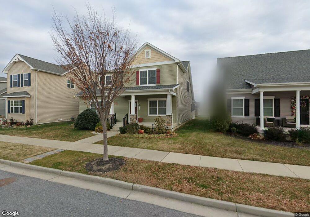
213 Parker Dr Stevensville, MD 21666
Estimated Value: $585,000 - $721,000
4
Beds
3
Baths
1,800
Sq Ft
$365/Sq Ft
Est. Value
About This Home
This home is located at 213 Parker Dr, Stevensville, MD 21666 and is currently estimated at $657,399, approximately $365 per square foot. 213 Parker Dr is a home located in Queen Anne's County with nearby schools including Kent Island Elementary School, Bayside Elementary School, and Matapeake Middle School.
Ownership History
Date
Name
Owned For
Owner Type
Purchase Details
Closed on
Dec 12, 2014
Sold by
Reliable Development Company Llc
Bought by
Smith James E and Smith Linda C
Current Estimated Value
Home Financials for this Owner
Home Financials are based on the most recent Mortgage that was taken out on this home.
Original Mortgage
$215,595
Outstanding Balance
$165,751
Interest Rate
4.02%
Mortgage Type
New Conventional
Estimated Equity
$491,648
Create a Home Valuation Report for This Property
The Home Valuation Report is an in-depth analysis detailing your home's value as well as a comparison with similar homes in the area
Home Values in the Area
Average Home Value in this Area
Purchase History
| Date | Buyer | Sale Price | Title Company |
|---|---|---|---|
| Smith James E | $489,988 | United Title & Escrow Inc |
Source: Public Records
Mortgage History
| Date | Status | Borrower | Loan Amount |
|---|---|---|---|
| Open | Smith James E | $215,595 |
Source: Public Records
Tax History Compared to Growth
Tax History
| Year | Tax Paid | Tax Assessment Tax Assessment Total Assessment is a certain percentage of the fair market value that is determined by local assessors to be the total taxable value of land and additions on the property. | Land | Improvement |
|---|---|---|---|---|
| 2025 | $4,623 | $525,100 | $0 | $0 |
| 2024 | $4,383 | $483,000 | $0 | $0 |
| 2023 | $4,153 | $440,900 | $165,100 | $275,800 |
| 2022 | $4,153 | $440,900 | $165,100 | $275,800 |
| 2021 | $4,259 | $440,900 | $165,100 | $275,800 |
| 2020 | $4,259 | $444,100 | $180,100 | $264,000 |
| 2019 | $4,224 | $440,433 | $0 | $0 |
| 2018 | $4,189 | $436,767 | $0 | $0 |
| 2017 | $4,151 | $433,100 | $0 | $0 |
| 2016 | -- | $412,800 | $0 | $0 |
| 2015 | $1,295 | $392,500 | $0 | $0 |
| 2014 | $1,295 | $135,000 | $0 | $0 |
Source: Public Records
Map
Nearby Homes
- 111 Keenan Way
- 119 Keenan Way
- 858 Moorings Cir Unit 11
- 241 Jessica Lyn Ave
- 736 Moorings Cir Unit 35
- 349 Topside Dr
- 312 Topside Dr Unit 223
- 298 Moorings Cir
- 1 UNIT 2 Compass Cir
- 103 Irene Way
- 306 Irene Way
- 122 E Main St
- 526 Victoria Dr
- 0 Sunset Wharf Lot D-1 Unit MDQA2010276
- 0 Sunset Wharf Lot D-3 Unit MDQA2010280
- 515 Love Point Rd
- 102 Bobbitt Ct
- 312 William Way
- 802 Broadcreek Dr
- 1757 Harbor Dr
- 207 Parker Dr
- 219 Parker Dr
- 1 Parker Dr
- 2 Parker Dr
- 3 Parker Dr
- 201 Parker Dr
- 119 Alexis Ave
- 109 Alexis Ave
- 303 Parker Dr
- 117 Alexis Ave
- 101 Liam Thomas Ln S Unit D-27
- 309 Parker Dr
- 101 Branta Landing
- 101 Branta Landing Unit B-23
- 107 Branta Landing
- 110 Alexis Ave
- 115 Keenan Way
- 115 Keenan Way Unit B21
- 113 Branta Landing
- 222 Breeding Blvd