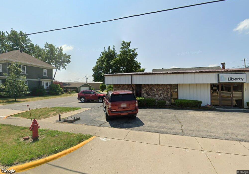
213 Po Box Catlin, IL 61817
Estimated Value: $252,000
--
Bed
--
Bath
--
Sq Ft
0.47
Acres
About This Home
This home is located at 213 Po Box, Catlin, IL 61817 and is currently priced at $252,000. 213 Po Box is a home located in Vermilion County with nearby schools including Salt Fork North Elementary School and Salt Fork Junior High School.
Ownership History
Date
Name
Owned For
Owner Type
Purchase Details
Closed on
Aug 30, 2024
Sold by
Clawson Robert and Clawson Chloe
Bought by
Boileau Nicolas
Current Estimated Value
Home Financials for this Owner
Home Financials are based on the most recent Mortgage that was taken out on this home.
Original Mortgage
$199,920
Outstanding Balance
$197,797
Interest Rate
6.77%
Mortgage Type
New Conventional
Purchase Details
Closed on
Jun 5, 2020
Sold by
Oblenis Jay and Oblenis Jena
Bought by
Clawson Robert
Home Financials for this Owner
Home Financials are based on the most recent Mortgage that was taken out on this home.
Original Mortgage
$196,969
Interest Rate
3.5%
Mortgage Type
New Conventional
Purchase Details
Closed on
May 15, 2019
Sold by
Wear Cole and Wear Jennifer
Bought by
Oblenis Jay and Oblenis Jena
Home Financials for this Owner
Home Financials are based on the most recent Mortgage that was taken out on this home.
Original Mortgage
$133,000
Interest Rate
3.63%
Mortgage Type
New Conventional
Create a Home Valuation Report for This Property
The Home Valuation Report is an in-depth analysis detailing your home's value as well as a comparison with similar homes in the area
Purchase History
| Date | Buyer | Sale Price | Title Company |
|---|---|---|---|
| Boileau Nicolas | $250,000 | None Listed On Document | |
| Clawson Robert | $195,000 | Freed Kelly M | |
| Oblenis Jay | $183,000 | -- |
Source: Public Records
Mortgage History
| Date | Status | Borrower | Loan Amount |
|---|---|---|---|
| Open | Boileau Nicolas | $199,920 | |
| Previous Owner | Clawson Robert | $196,969 | |
| Previous Owner | Oblenis Jay | $133,000 |
Source: Public Records
Tax History Compared to Growth
Tax History
| Year | Tax Paid | Tax Assessment Tax Assessment Total Assessment is a certain percentage of the fair market value that is determined by local assessors to be the total taxable value of land and additions on the property. | Land | Improvement |
|---|---|---|---|---|
| 2023 | $7,124 | $79,865 | $17,471 | $62,394 |
| 2022 | $6,151 | $71,181 | $15,571 | $55,610 |
| 2021 | $5,924 | $66,276 | $14,498 | $51,778 |
| 2020 | $5,519 | $65,297 | $14,284 | $51,013 |
| 2019 | $5,472 | $63,916 | $13,982 | $49,934 |
| 2018 | $5,107 | $59,734 | $13,067 | $46,667 |
| 2015 | -- | $55,500 | $12,141 | $43,359 |
| 2014 | -- | $55,500 | $12,141 | $43,359 |
| 2013 | -- | $55,500 | $12,141 | $43,359 |
Source: Public Records
Map
Nearby Homes
- 16 Westwood Cir
- 102 Huntington Park Rd
- 605 Douglas St
- 513 N Sandusky St
- 113 Lakeview Dr
- 10 Lakeview Dr
- 427 Merrill St
- 16322 Shangri La Lot 5 Rd
- 14317 N 920 Rd E
- 0 Unit 6256631
- 221 W 7th St
- 1825 S Monroe St
- 709 Dellwood St
- 112 E 8th St
- 2201 Kickapoo Dr
- 2002 King St
- 109 Emily Dr
- 206 Crestwood Ave
- 1521 King St
- 128 Garrison Vision Dr
- 130 Larkspur Dr
- 128 Larkspur Dr
- 305 Mckinley St
- 126 Larkspur Dr
- 401 Westwood Dr
- 402 Westwood Dr
- 125 Larkspur Dr
- 123 Larkspur Dr
- 122 Larkspur Dr
- 122 Larkspur Dr
- 122 Larkspur Dr
- 403 Westwood Dr
- 116 Coronado
- 120 Larkspur Dr
- 121 Larkspur Dr
- 114 Coronado
- 113 Westwood Cir
- 112 Coronado
- 105 Westwood Cir
- 118 Larkspur Dr
