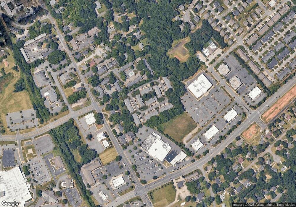
213 Pointe Cir Rock Hill, SC 29732
Estimated Value: $234,000 - $245,000
--
Bed
--
Bath
1,222
Sq Ft
$197/Sq Ft
Est. Value
About This Home
This home is located at 213 Pointe Cir, Rock Hill, SC 29732 and is currently estimated at $240,569, approximately $196 per square foot. 213 Pointe Cir is a home located in York County with nearby schools including Ebinport Elementary School, W.C. Sullivan Middle School, and South Pointe High School.
Ownership History
Date
Name
Owned For
Owner Type
Purchase Details
Closed on
Mar 24, 2016
Sold by
Williams Terry E
Bought by
Williams John Dennis and Williams John Baylen
Current Estimated Value
Home Financials for this Owner
Home Financials are based on the most recent Mortgage that was taken out on this home.
Original Mortgage
$62,000
Outstanding Balance
$49,901
Interest Rate
4.25%
Mortgage Type
New Conventional
Estimated Equity
$190,668
Purchase Details
Closed on
Nov 12, 2013
Sold by
Estate Of Janette Ernandez
Bought by
Williams Terry E
Purchase Details
Closed on
Aug 31, 2006
Sold by
Barnette Harry S and Barnette Billie C
Bought by
Ernandez Janette
Create a Home Valuation Report for This Property
The Home Valuation Report is an in-depth analysis detailing your home's value as well as a comparison with similar homes in the area
Home Values in the Area
Average Home Value in this Area
Purchase History
| Date | Buyer | Sale Price | Title Company |
|---|---|---|---|
| Williams John Dennis | $93,000 | None Available | |
| Williams Terry E | -- | -- | |
| Ernandez Janette | $94,500 | None Available |
Source: Public Records
Mortgage History
| Date | Status | Borrower | Loan Amount |
|---|---|---|---|
| Open | Williams John Dennis | $62,000 |
Source: Public Records
Tax History Compared to Growth
Tax History
| Year | Tax Paid | Tax Assessment Tax Assessment Total Assessment is a certain percentage of the fair market value that is determined by local assessors to be the total taxable value of land and additions on the property. | Land | Improvement |
|---|---|---|---|---|
| 2025 | $995 | $8,460 | $0 | $8,460 |
| 2024 | $883 | $4,025 | $0 | $4,025 |
| 2023 | $886 | $4,025 | $0 | $4,025 |
| 2022 | $892 | $4,025 | $0 | $4,025 |
| 2021 | -- | $4,025 | $0 | $4,025 |
| 2020 | $894 | $4,025 | $0 | $0 |
| 2019 | $802 | $3,500 | $0 | $0 |
| 2018 | $800 | $3,500 | $0 | $0 |
| 2017 | $771 | $3,500 | $0 | $0 |
| 2016 | $1,971 | $5,250 | $0 | $0 |
| 2014 | $254 | $4,980 | $0 | $4,980 |
| 2013 | $254 | $4,980 | $0 | $4,980 |
Source: Public Records
Map
Nearby Homes
- 201 Pointe Cir
- 1784 Ebenezer Rd Unit C
- 1784 Ebenezer Rd Unit D
- 1792 Ebenezer Rd Unit G
- 1806 Ebenezer Rd Unit E
- 1830 Ebenezer Rd Unit 1
- 723 Winding Way
- 490 Clouds Way
- 448 Berryman Rd
- 310 Berkeley Rd
- Gable Plan at Allston
- Garland Plan at Allston
- 150 Brookwood Ln
- 420 Bly St
- 1951 Ebenezer Rd
- 1580 Granville Rd
- 1934 Hayes Dr
- 728 Herlong Ave
- 1458 Constitution Blvd
- 412 Osborn St
- 215 Pointe Cir Unit OLDE
- 217 Pointe Cir
- 219 Pointe Cir
- 221 Pointe Cir
- 223 Pointe Cir
- 211 Pointe Cir
- 209 Pointe Cir
- 226 Pointe Cir Unit 226
- 228 Pointe Cir
- 230 Pointe Cir
- 207 Pointe Cir
- 205 Pointe Cir
- 205 Pointe Cir Unit 205
- 224 Pointe Cir
- 245 Pointe Cir
- 203 Pointe Cir
- 241 Pointe Cir
- 247 Pointe Cir
- 225 Pointe Cir
- 227 Pointe Cir
