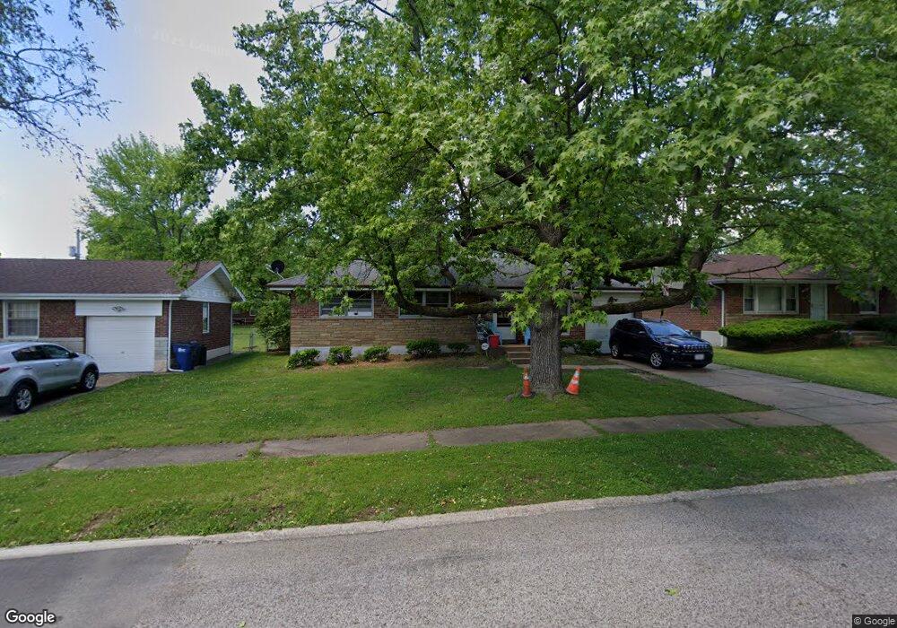
213 Rand Dr Saint Louis, MO 63135
Estimated Value: $102,408 - $121,000
3
Beds
1
Bath
975
Sq Ft
$114/Sq Ft
Est. Value
About This Home
This home is located at 213 Rand Dr, Saint Louis, MO 63135 and is currently estimated at $111,102, approximately $113 per square foot. 213 Rand Dr is a home located in St. Louis County with nearby schools including Griffith Elementary School, Ferguson Middle School, and McCluer High School.
Ownership History
Date
Name
Owned For
Owner Type
Purchase Details
Closed on
Oct 20, 2005
Sold by
Poznanski Stella G and Passalacqua Genevieve T
Bought by
Jethroe Dennis and Jethroe Takisha L
Current Estimated Value
Home Financials for this Owner
Home Financials are based on the most recent Mortgage that was taken out on this home.
Original Mortgage
$96,500
Outstanding Balance
$51,554
Interest Rate
5.73%
Mortgage Type
Fannie Mae Freddie Mac
Estimated Equity
$59,548
Create a Home Valuation Report for This Property
The Home Valuation Report is an in-depth analysis detailing your home's value as well as a comparison with similar homes in the area
Home Values in the Area
Average Home Value in this Area
Purchase History
| Date | Buyer | Sale Price | Title Company |
|---|---|---|---|
| Jethroe Dennis | $96,500 | Clt |
Source: Public Records
Mortgage History
| Date | Status | Borrower | Loan Amount |
|---|---|---|---|
| Open | Jethroe Dennis | $96,500 |
Source: Public Records
Tax History Compared to Growth
Tax History
| Year | Tax Paid | Tax Assessment Tax Assessment Total Assessment is a certain percentage of the fair market value that is determined by local assessors to be the total taxable value of land and additions on the property. | Land | Improvement |
|---|---|---|---|---|
| 2025 | $1,197 | $21,520 | $2,410 | $19,110 |
| 2024 | $1,197 | $16,400 | $1,600 | $14,800 |
| 2023 | $1,190 | $16,400 | $1,600 | $14,800 |
| 2022 | $1,078 | $12,920 | $3,210 | $9,710 |
| 2021 | $1,044 | $12,920 | $3,210 | $9,710 |
| 2020 | $1,007 | $11,190 | $1,630 | $9,560 |
| 2019 | $988 | $11,190 | $1,630 | $9,560 |
| 2018 | $1,133 | $11,490 | $910 | $10,580 |
| 2017 | $1,111 | $11,490 | $910 | $10,580 |
| 2016 | $988 | $10,030 | $1,670 | $8,360 |
| 2015 | $995 | $10,030 | $1,670 | $8,360 |
| 2014 | $1,018 | $10,150 | $2,530 | $7,620 |
Source: Public Records
Map
Nearby Homes
- 1321 Highmont Dr
- 1325 Kappel Dr
- 109 Florwood Ct
- 49 S Dellwood Ave
- 324 Gage Dr
- 1512 Kappel Dr
- 235 Forestwood Dr
- 9619 Perch Dr
- 33 S Schlueter Ave
- 33 Westdell Dr
- 38 Westdell Dr
- 1304 Lang Dr
- 50 Fenwick Dr
- 9833 Dennis Dr
- 1330 Chambers Rd
- 9757 Lorna Ln
- 9854 Dennis Dr
- 9750 Lorna Ln
- 9754 Lorna Ln
- 299 Dashwood Dr