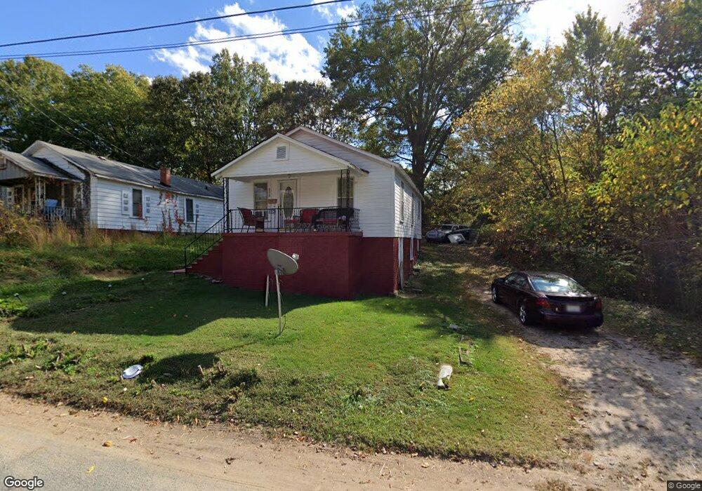
213 Rice St Kannapolis, NC 28081
Estimated Value: $90,000 - $258,391
About This Home
This home is located at 213 Rice St, Kannapolis, NC 28081 and is currently estimated at $186,098, approximately $128 per square foot. 213 Rice St is a home located in Rowan County with nearby schools including Landis Elementary School, Corriher Lipe Middle School, and South Rowan High School.
Ownership History
We collect this data history from publicly available records. To have your information removed, we recommend requesting removal directly through your county’s website.
Purchase Details
Purchase Details
Home Values in the Area
Average Home Value in this Area
Purchase History
We collect this data history from publicly available records. To have your information removed, we recommend requesting removal directly through your county’s website.
| Date | Buyer | Sale Price | Title Company |
|---|---|---|---|
| $78,000 | None Listed On Document | ||
| -- | -- |
Tax History
We collect this data history from publicly available records. To have your information removed, we recommend requesting removal directly through your county’s website.
| Year | Tax Paid | Tax Assessment Tax Assessment Total Assessment is a certain percentage of the fair market value that is determined by local assessors to be the total taxable value of land and additions on the property. | Land | Improvement |
|---|---|---|---|---|
| 2025 | $1,118 | $92,412 | $16,413 | $75,999 |
| 2024 | $1,118 | $92,412 | $16,413 | $75,999 |
| 2023 | $1,118 | $92,412 | $16,413 | $75,999 |
| 2022 | $592 | $45,950 | $12,625 | $33,325 |
| 2021 | $592 | $45,950 | $12,625 | $33,325 |
| 2020 | $592 | $45,950 | $12,625 | $33,325 |
| 2019 | $592 | $45,950 | $12,625 | $33,325 |
| 2018 | $519 | $40,771 | $12,625 | $28,146 |
| 2017 | $519 | $40,771 | $12,625 | $28,146 |
| 2016 | $519 | $40,771 | $12,625 | $28,146 |
| 2015 | $527 | $40,771 | $12,625 | $28,146 |
| 2014 | $541 | $43,259 | $11,110 | $32,149 |
Map
- 303 Rice St
- 2412 Summit Ave
- 2701 Glendale Ave
- 2703 Glendale Ave
- 0 Summit Ave Unit 117
- 501 Snow St
- 2877 Vale Ave
- 2909 Glendale Ave
- 410 Airport Rd Unit OLD
- 2210 N Cannon Blvd
- 480 Sand Dunes Dr Unit 74
- 490 Sand Dunes Dr Unit 71
- 484 Sand Dunes Dr Unit 73
- 403 E 21st St
- 2673 Brady Ave
- 295 W 18th St
- 337 W 18th St
- 323 E 20th St
- 200 W 17th St
- 601 Hot Springs Dr
- 219 Rice St
- 211 Rice St
- 209 Rice St
- 221 Rice St
- 214 Blackwelder Ave
- 210 Blackwelder Ave
- 210 Rice St
- 207 Rice St
- 208 Blackwelder Ave
- 301 Rice St
- 208 Rice St
- 220 Rice St
- 205 Rice St
- 216 Blackwelder Ave
- 216 Blackwelder Ave Unit B
- 206 Blackwelder Ave
- 306 Blackwelder St
- 204 Rice St
- 203 Rice St
- 225 Rosemont Ave
Ask me questions while you tour the home.